Navarrete to Nájera

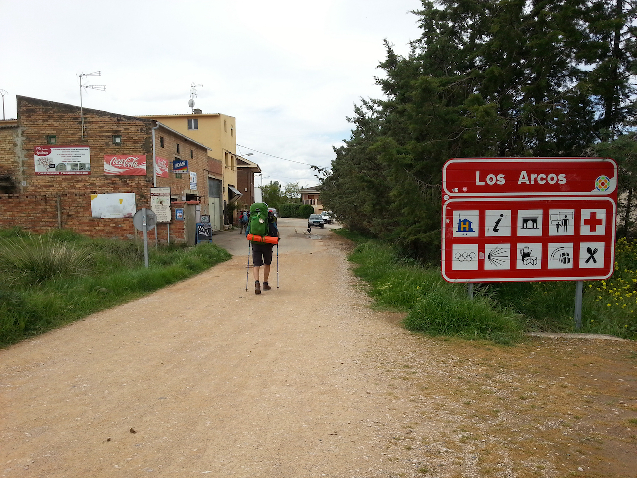
A cold, damp and dull day mostly, but only a short walk – 17.6 km and 3:42 (see map).

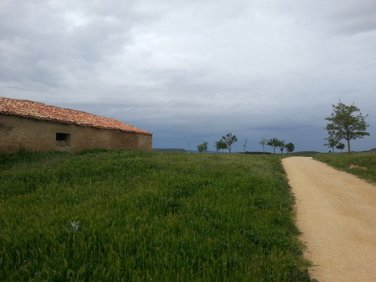
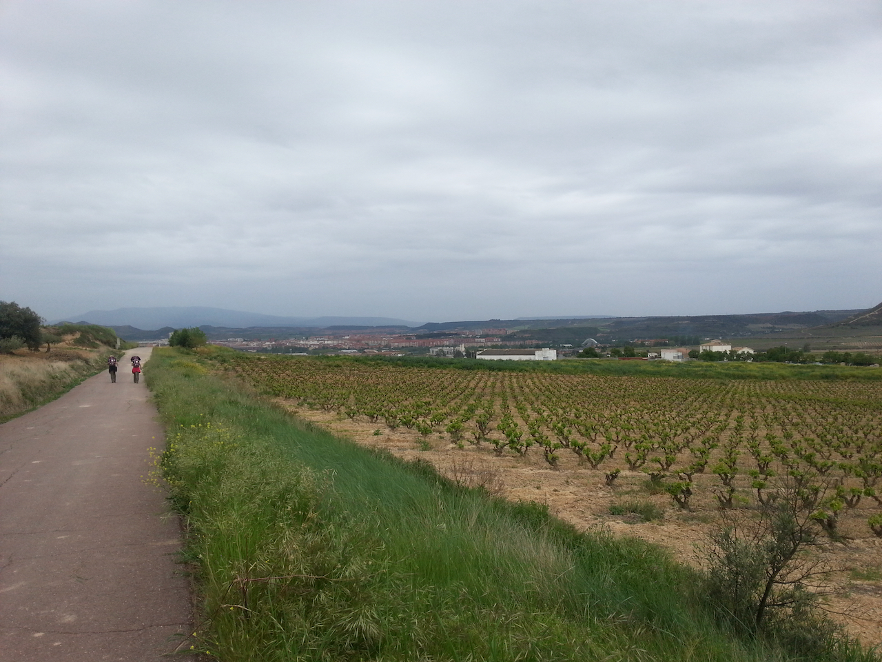
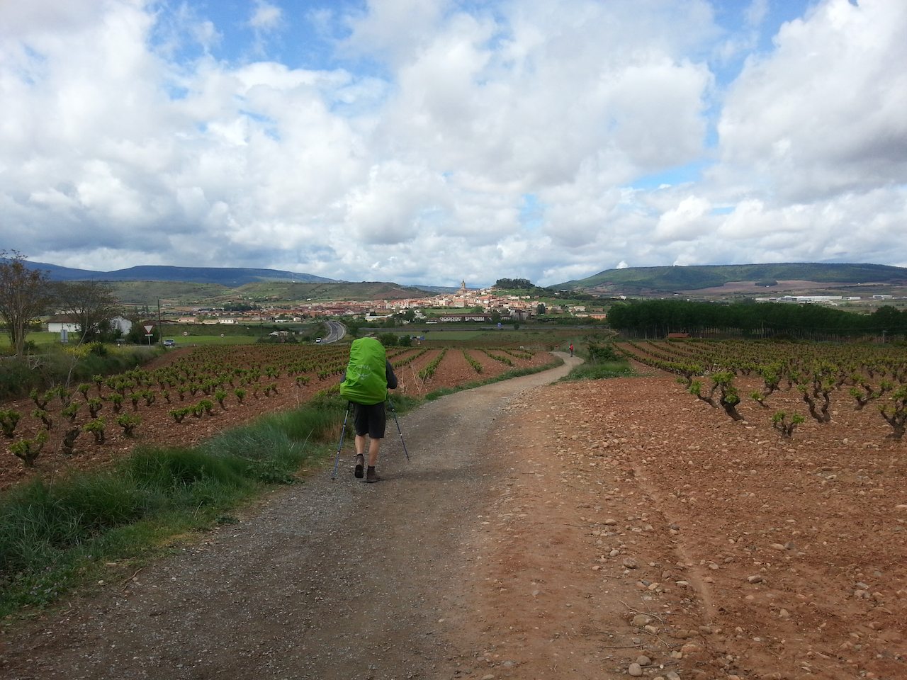
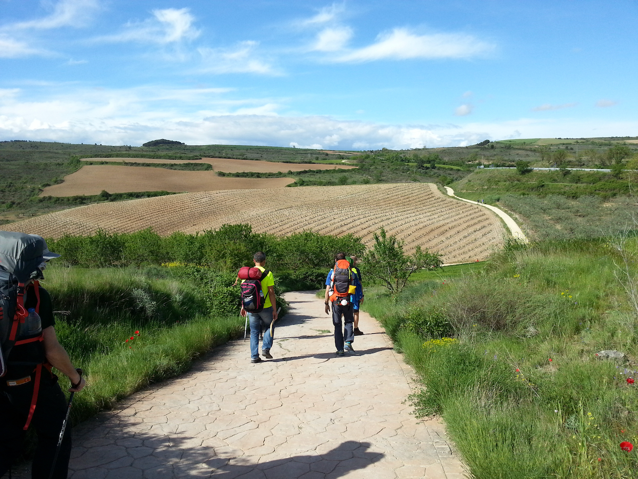
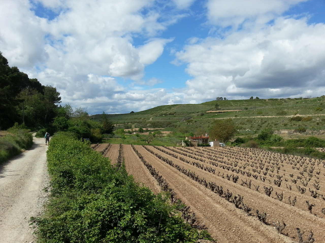
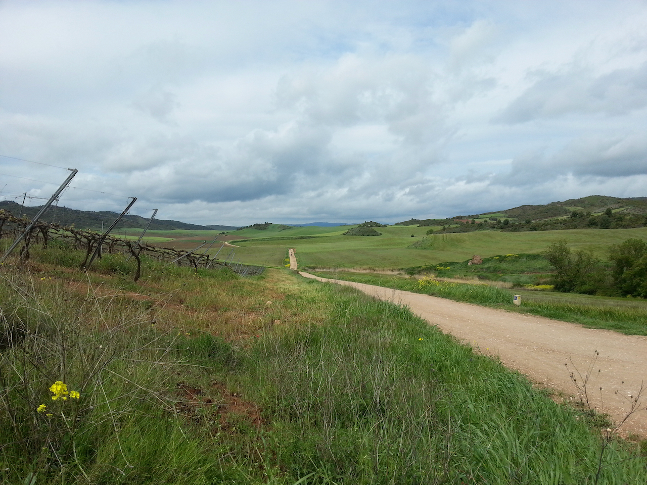
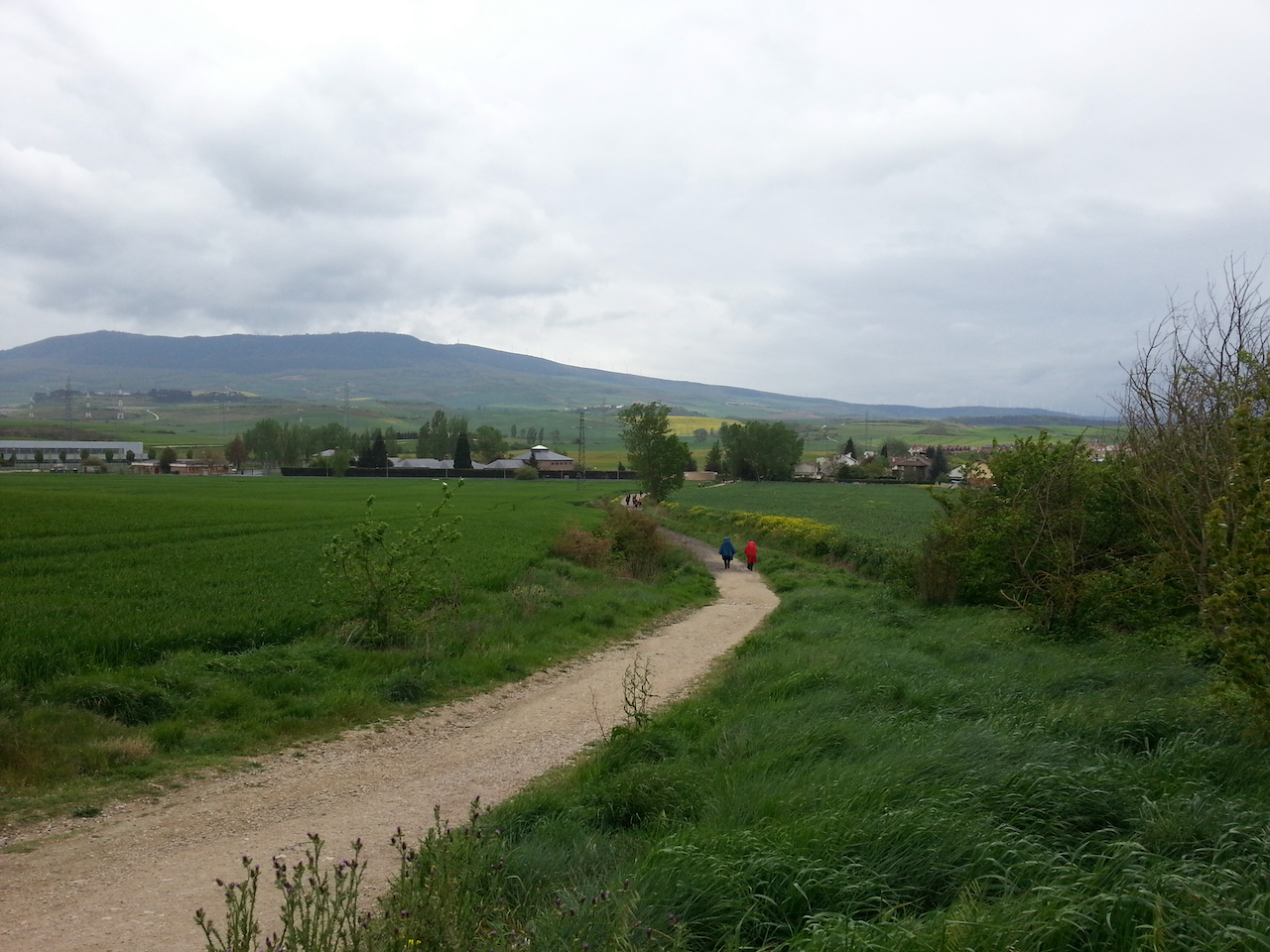
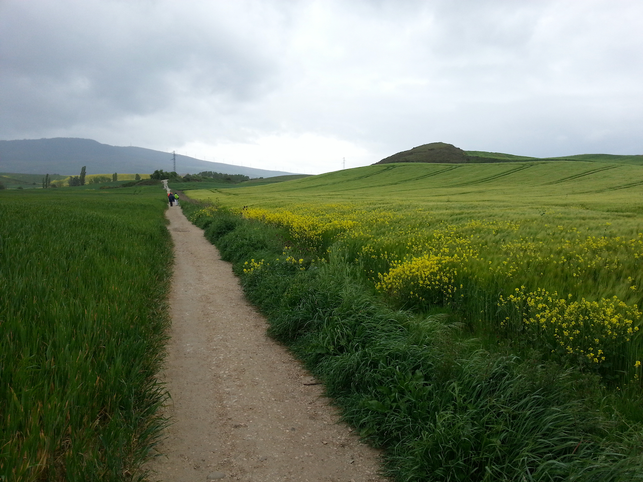
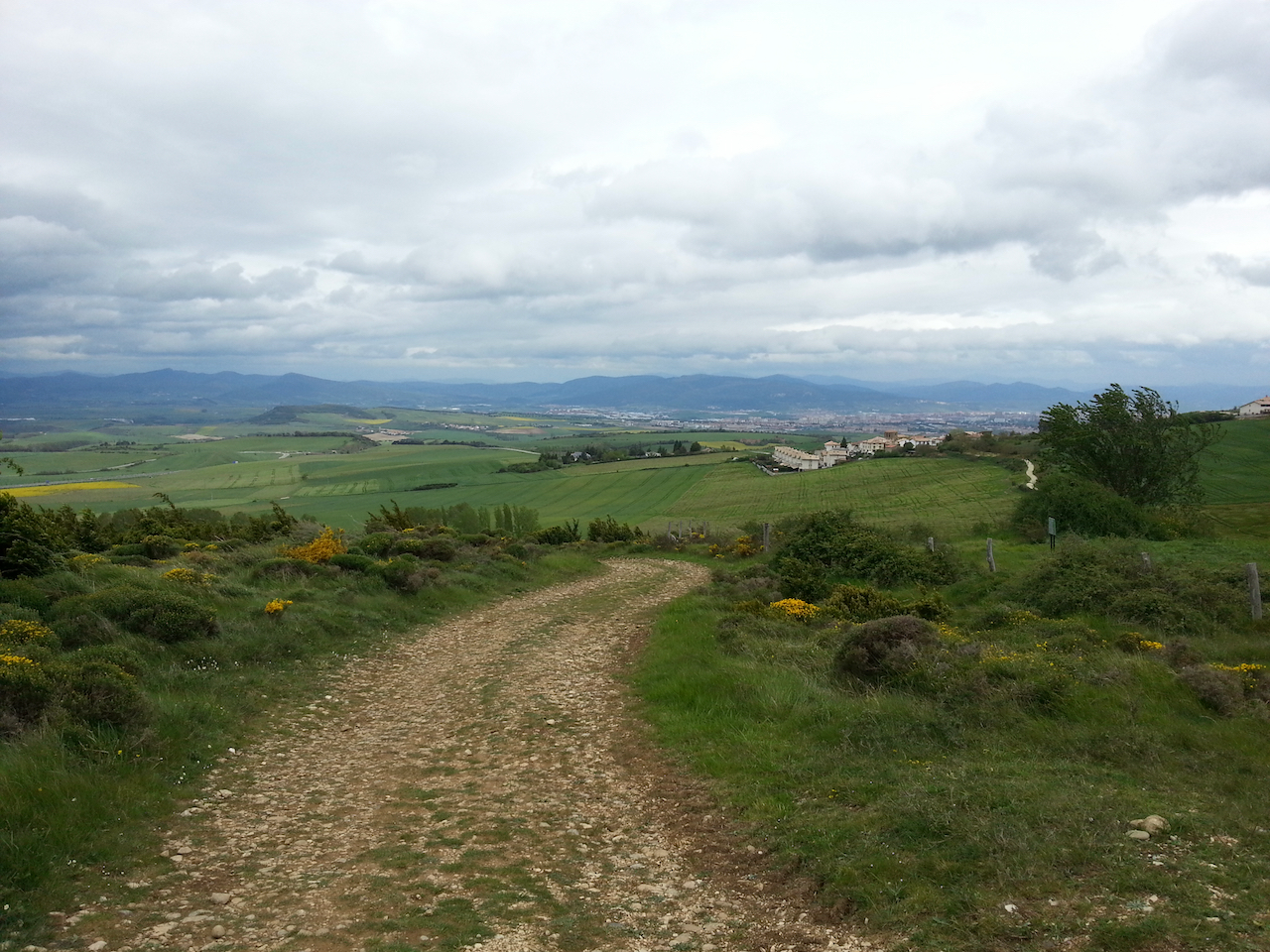
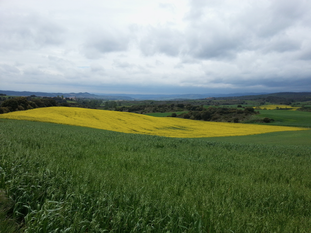
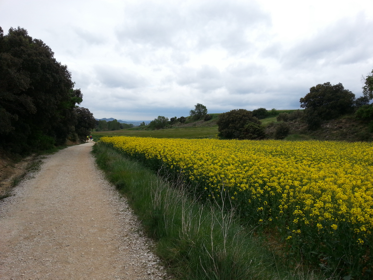
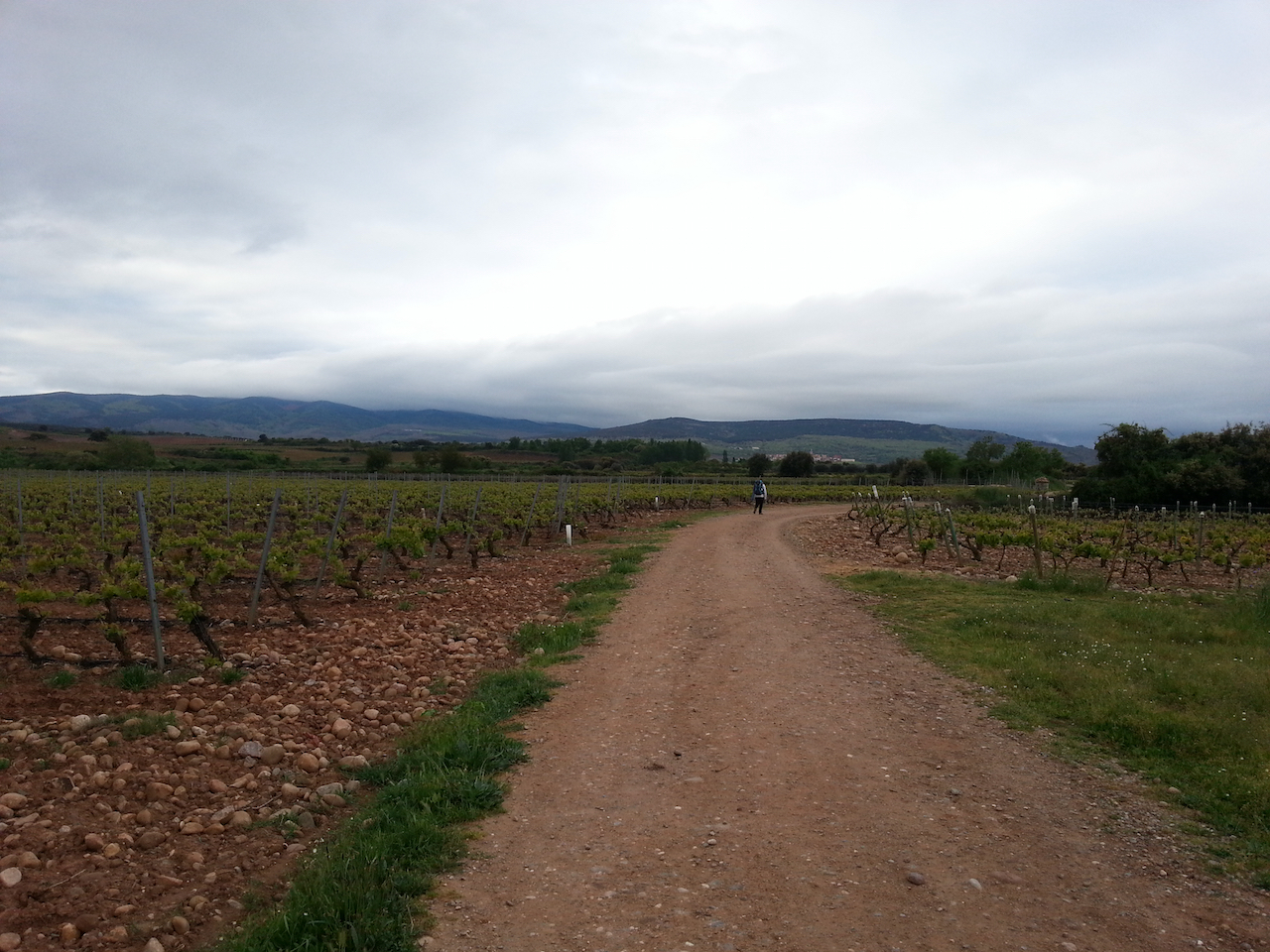
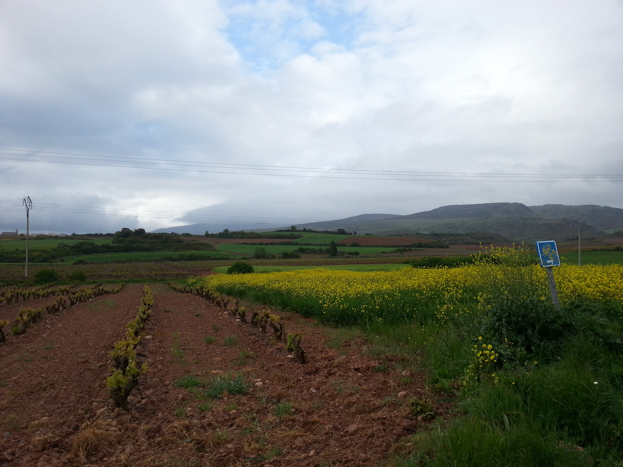
The wind had a certain chill to it and the rain drizzled on and off. Nonetheless a good walk through easy undulating country, much of it given over to grape cultivation (it is the La Rioja region we’re in after all).

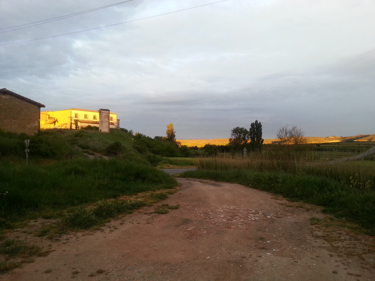
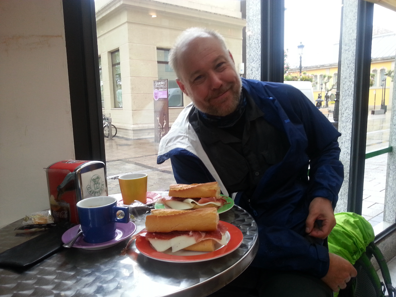
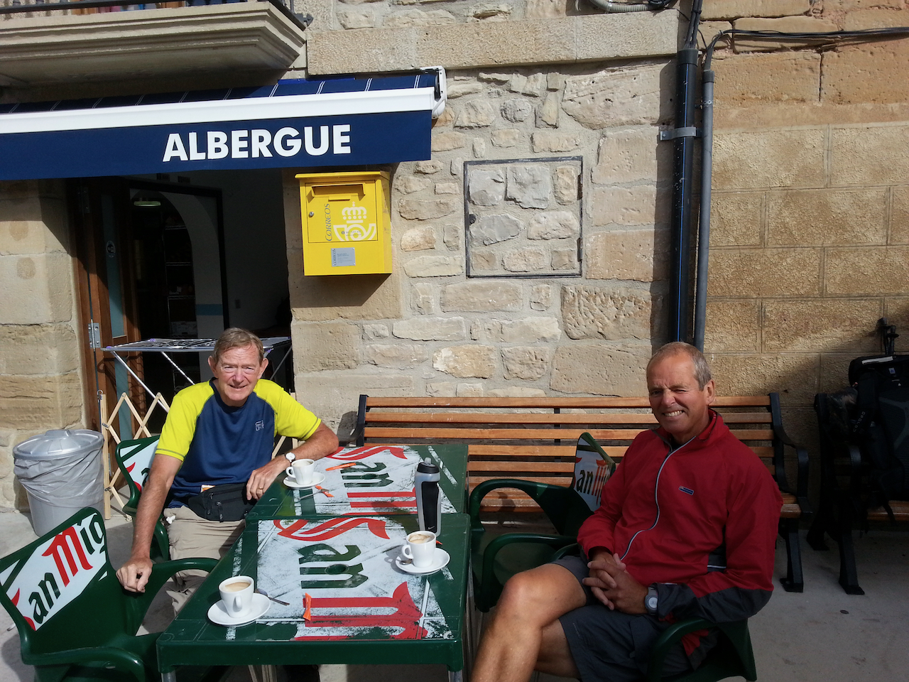
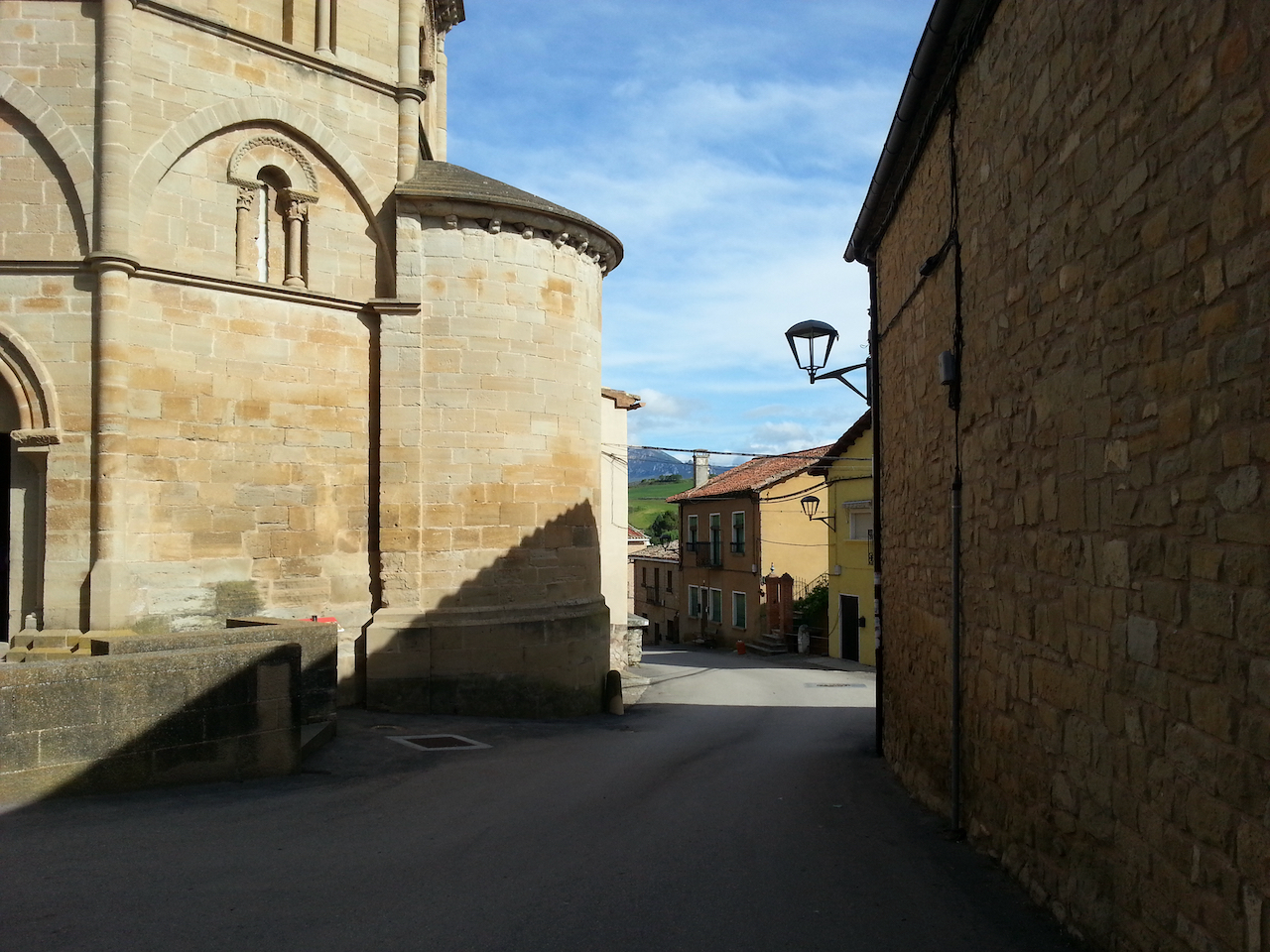
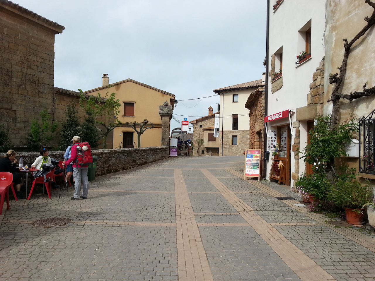
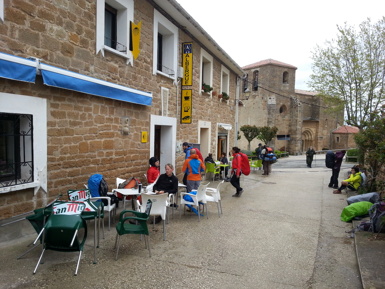
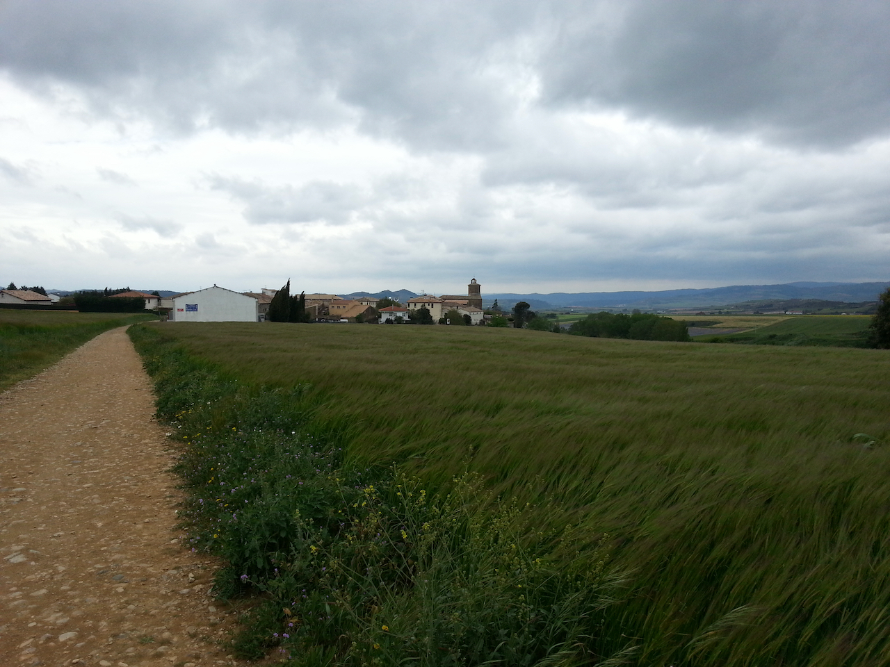
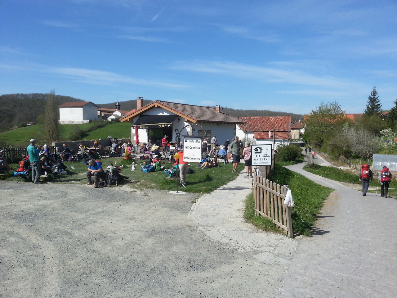
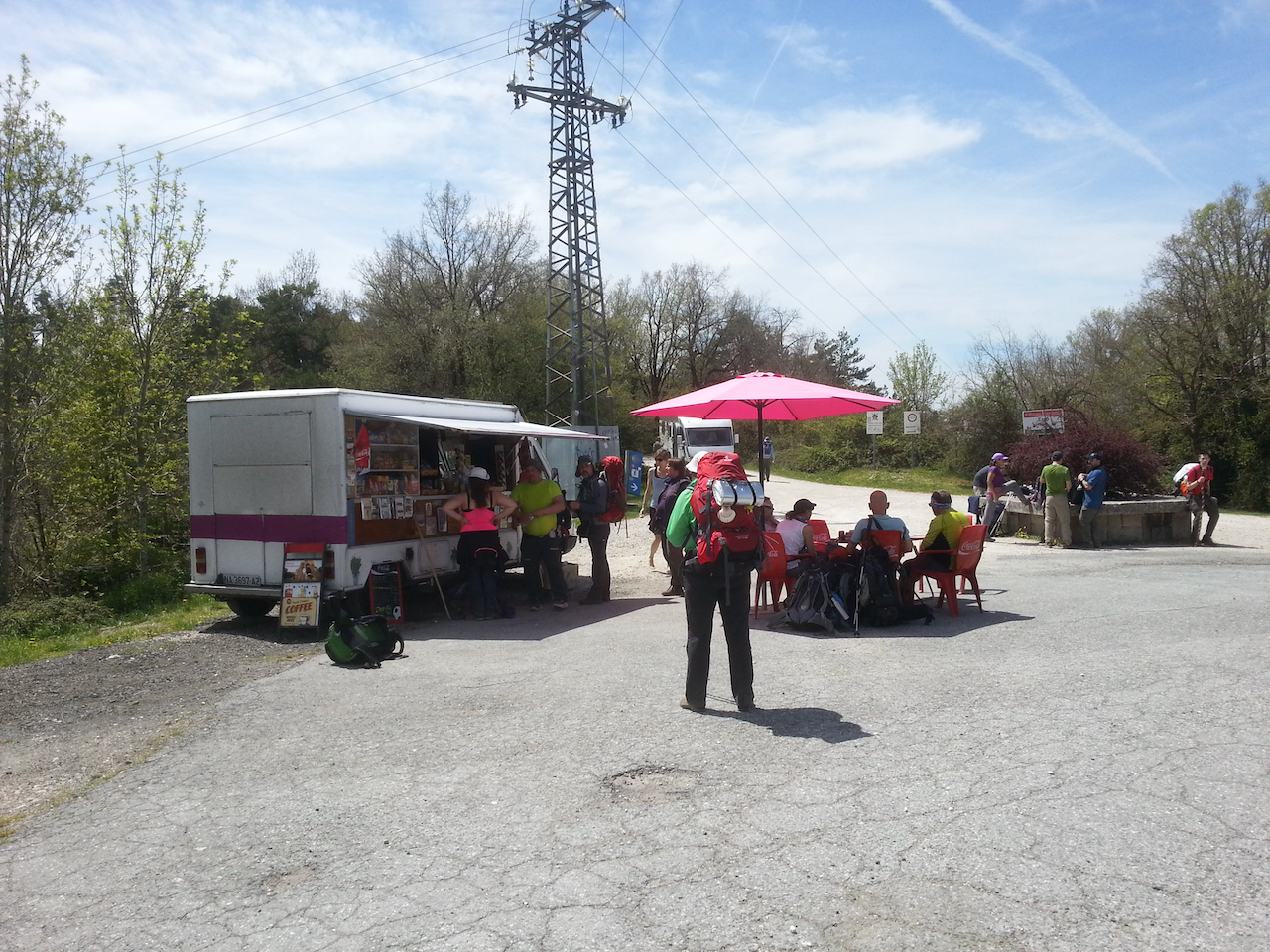
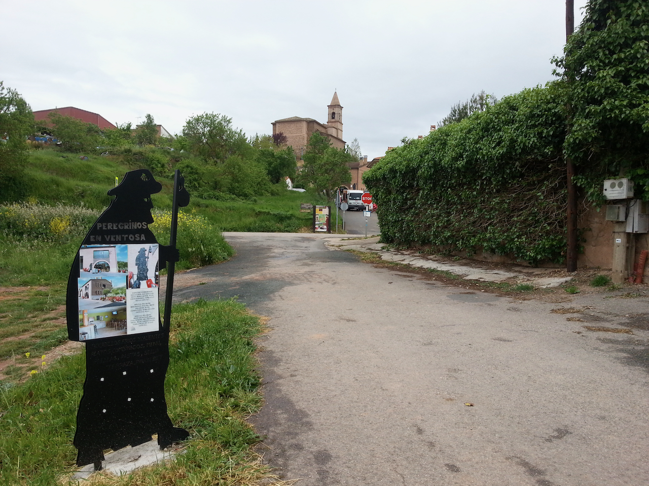
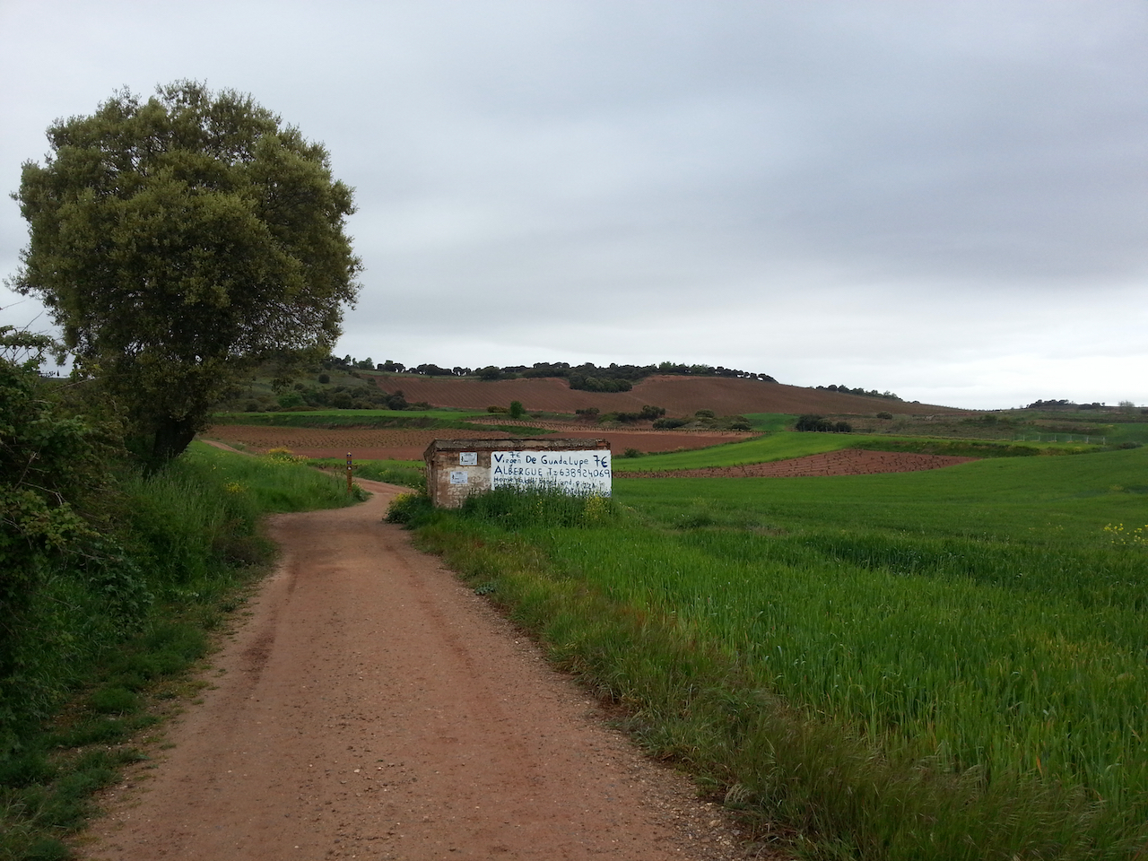
At the outskirts of Ventosa. Breakfast stop.

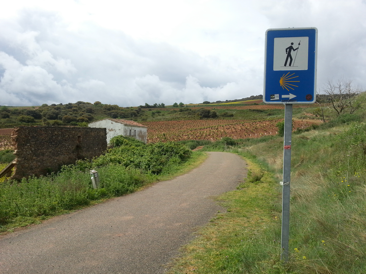
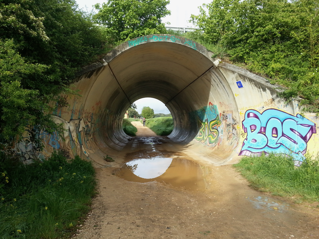
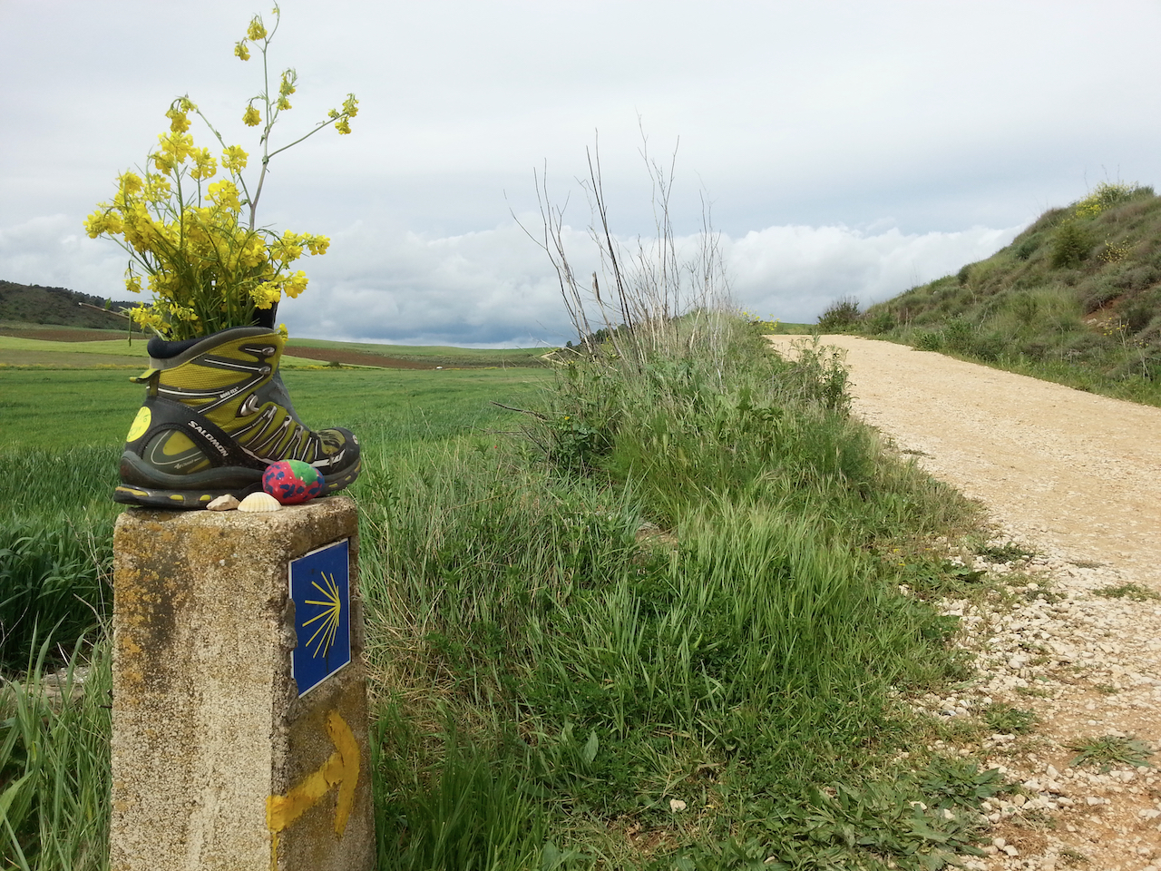
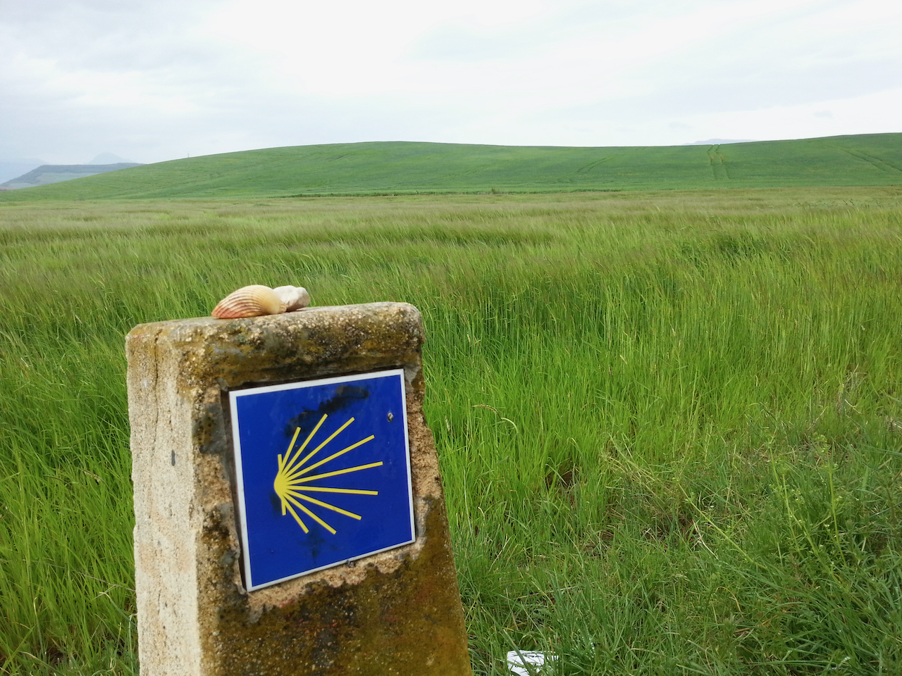
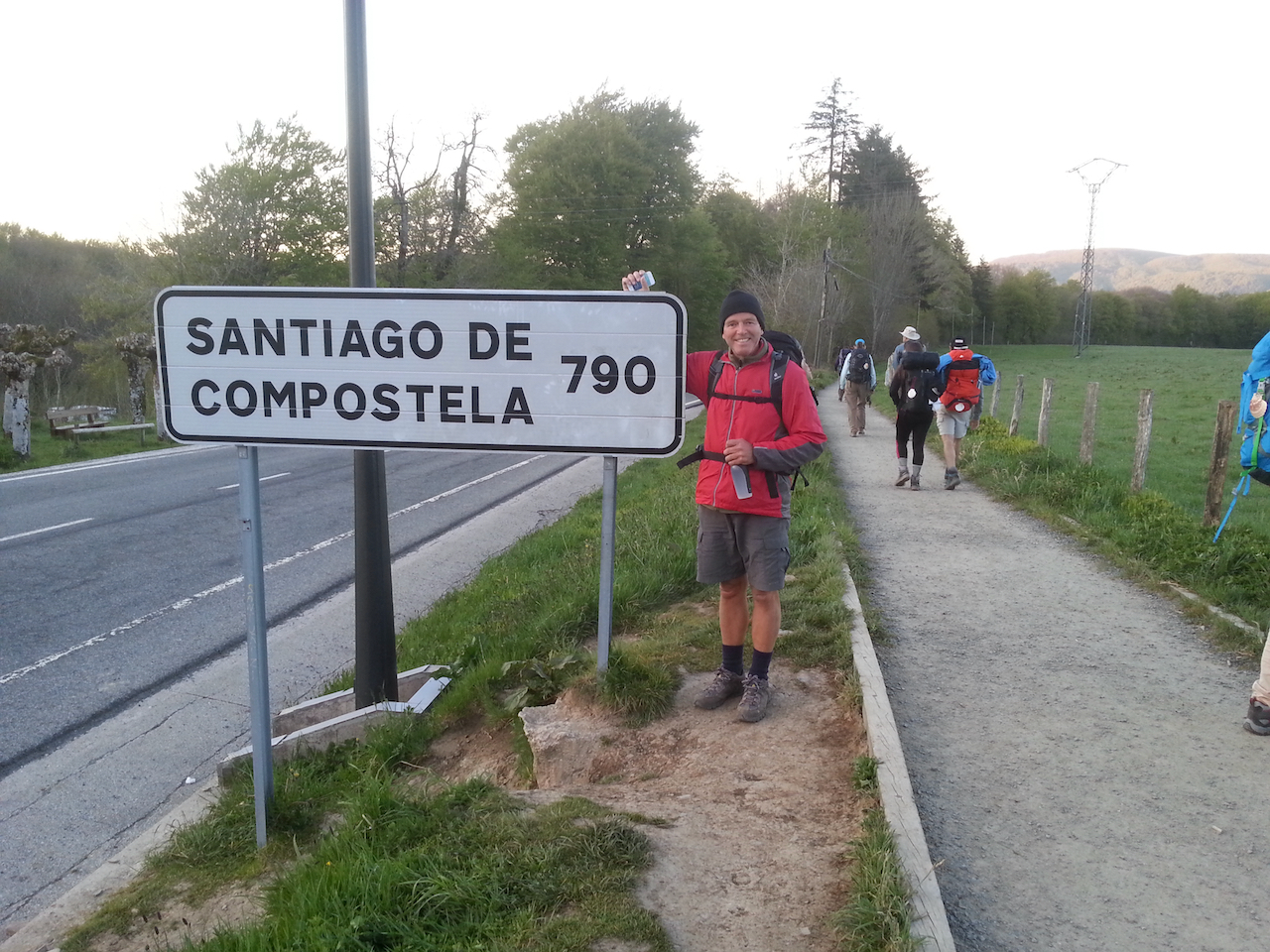
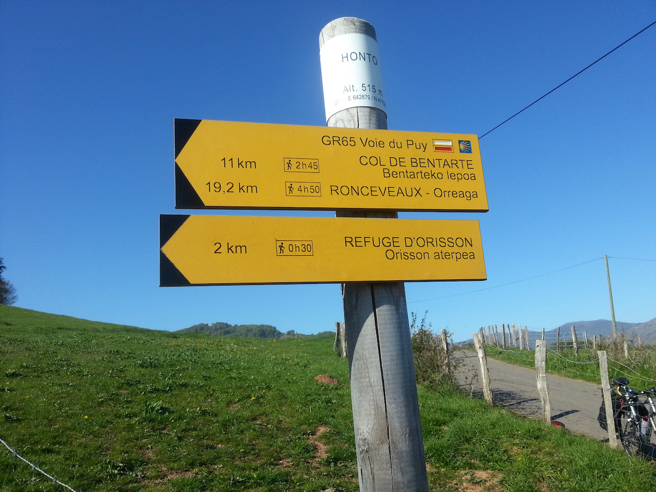
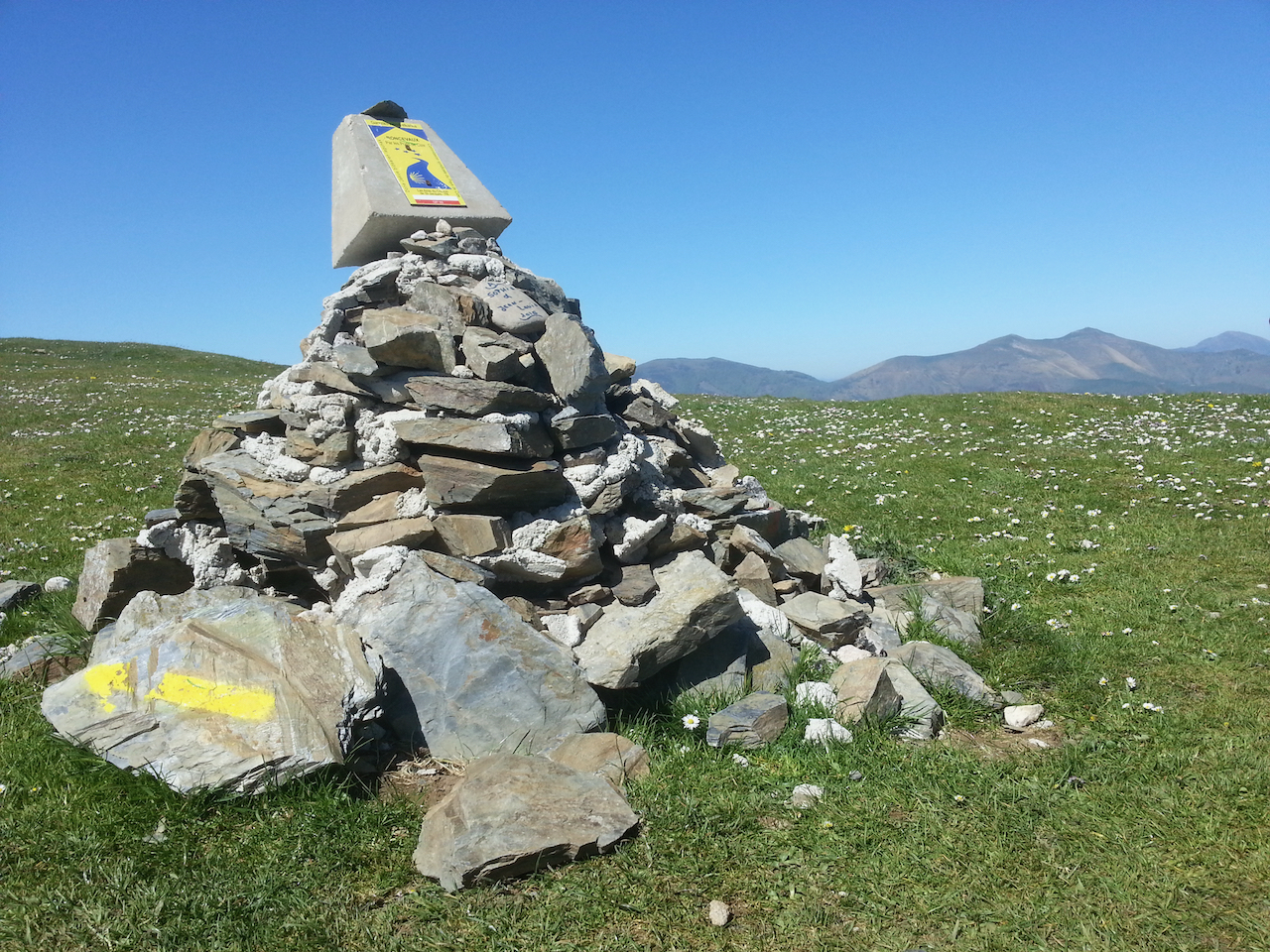
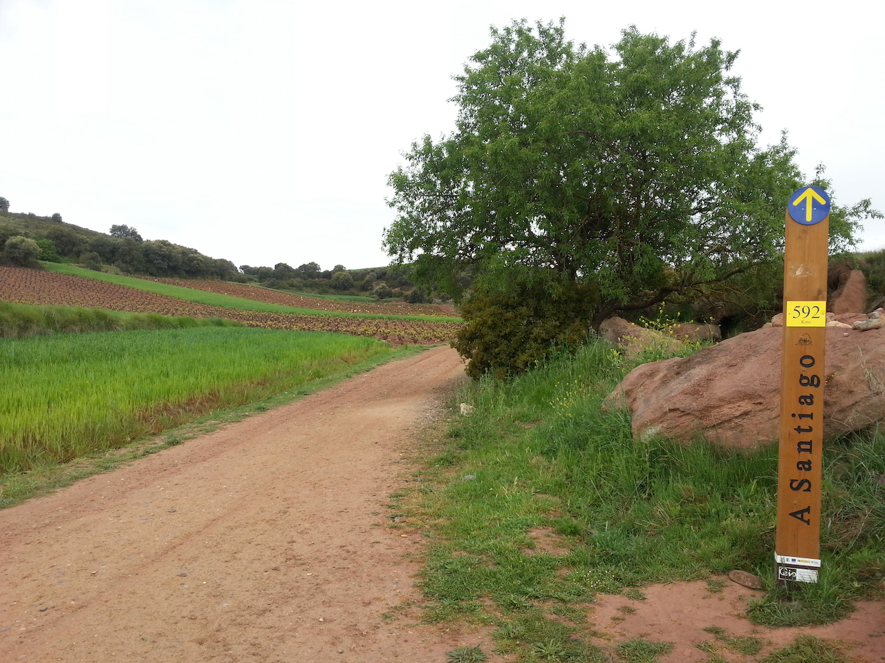
Kilometers-to-Santiago markers are becoming more common.

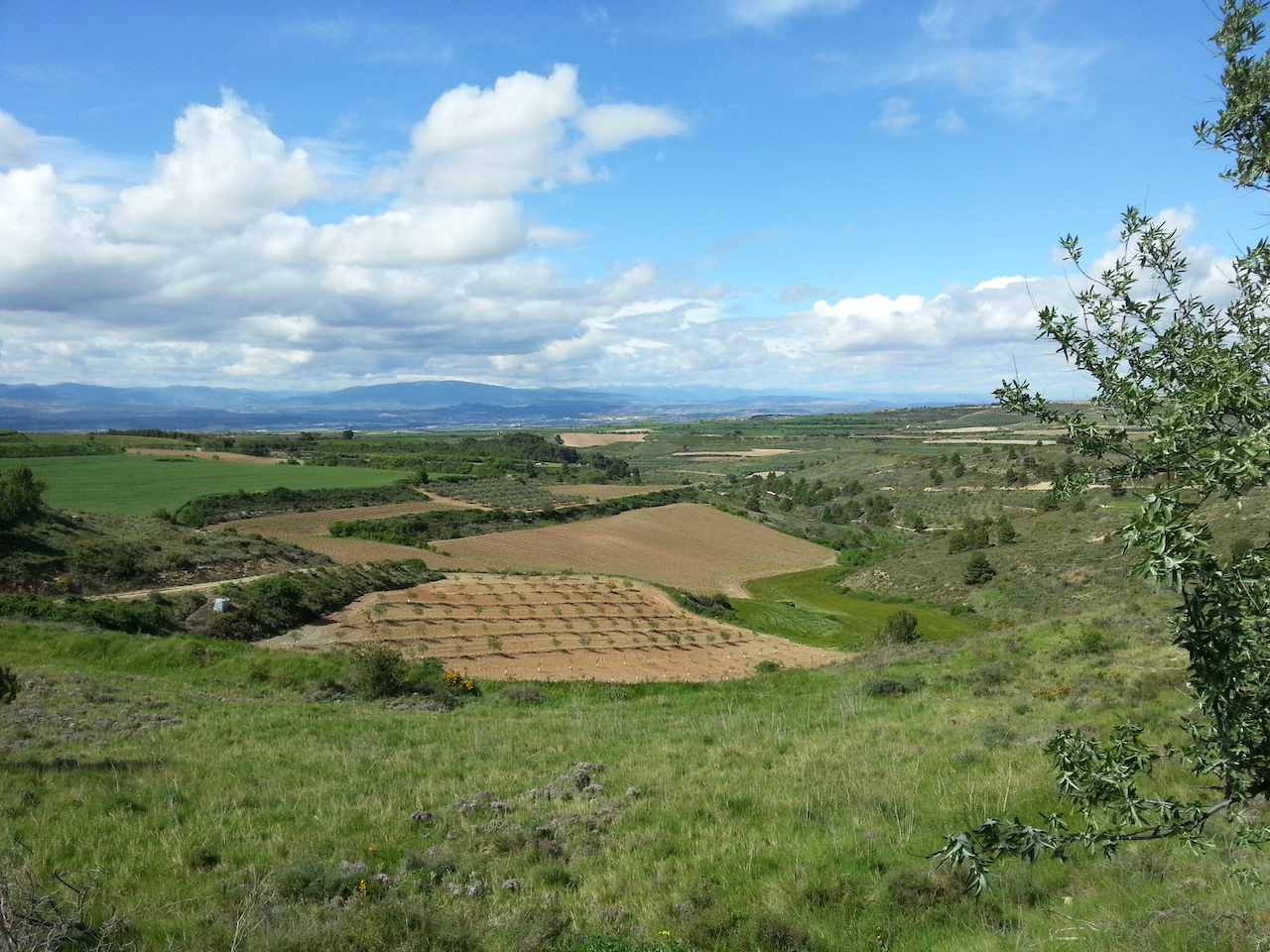
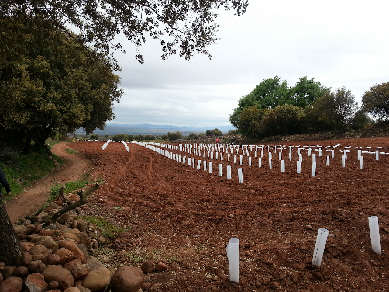
A new vineyard being planted.

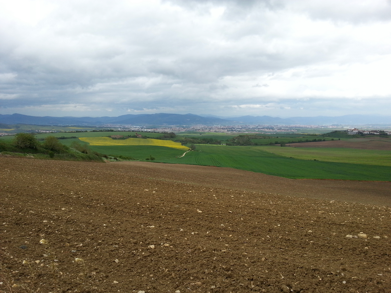
Heavy rain skirting around the hills to the south east. I went south west.

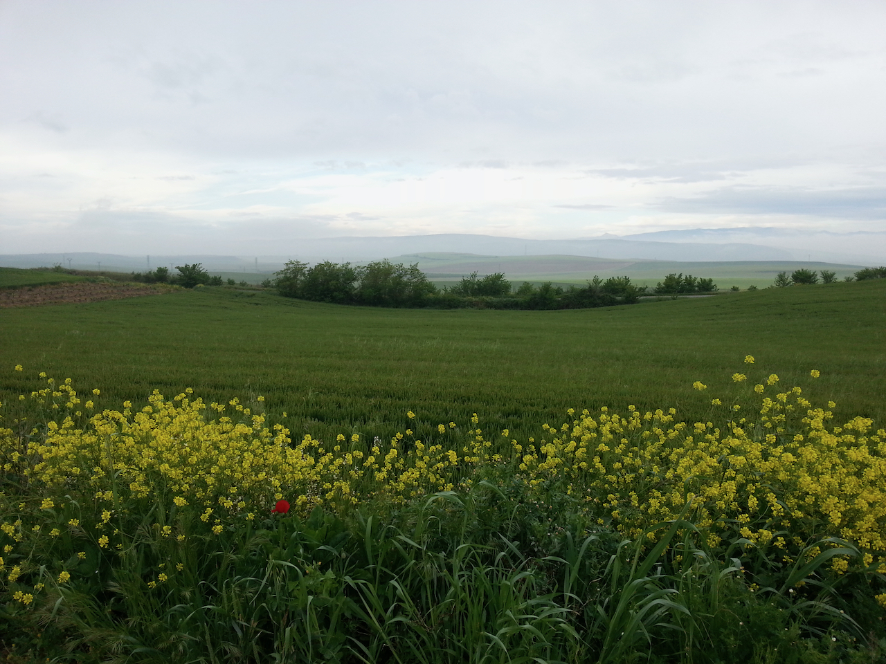
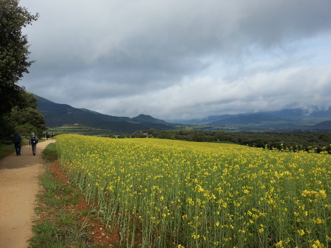
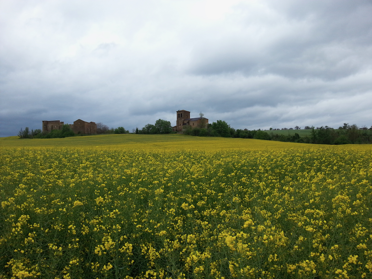
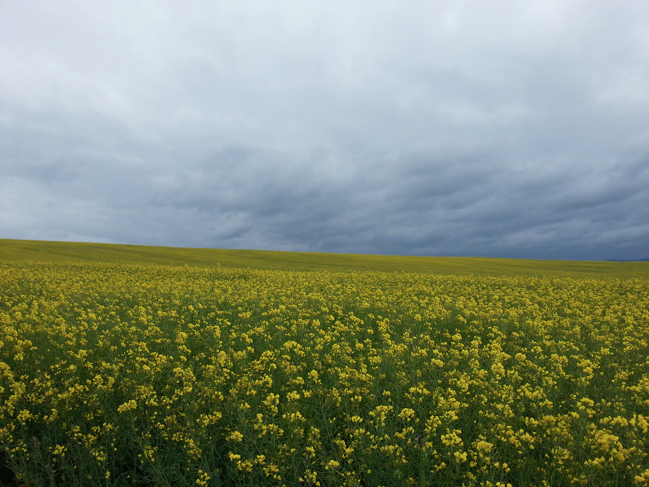
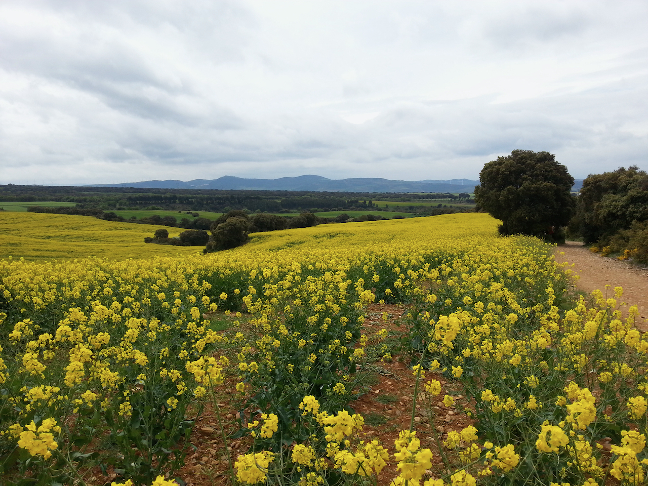
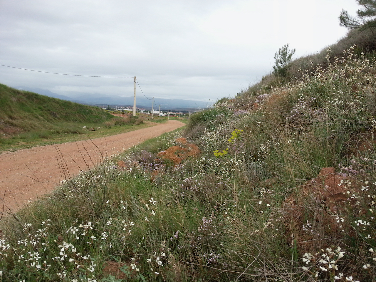
Wild flowers blooming near Nájera.

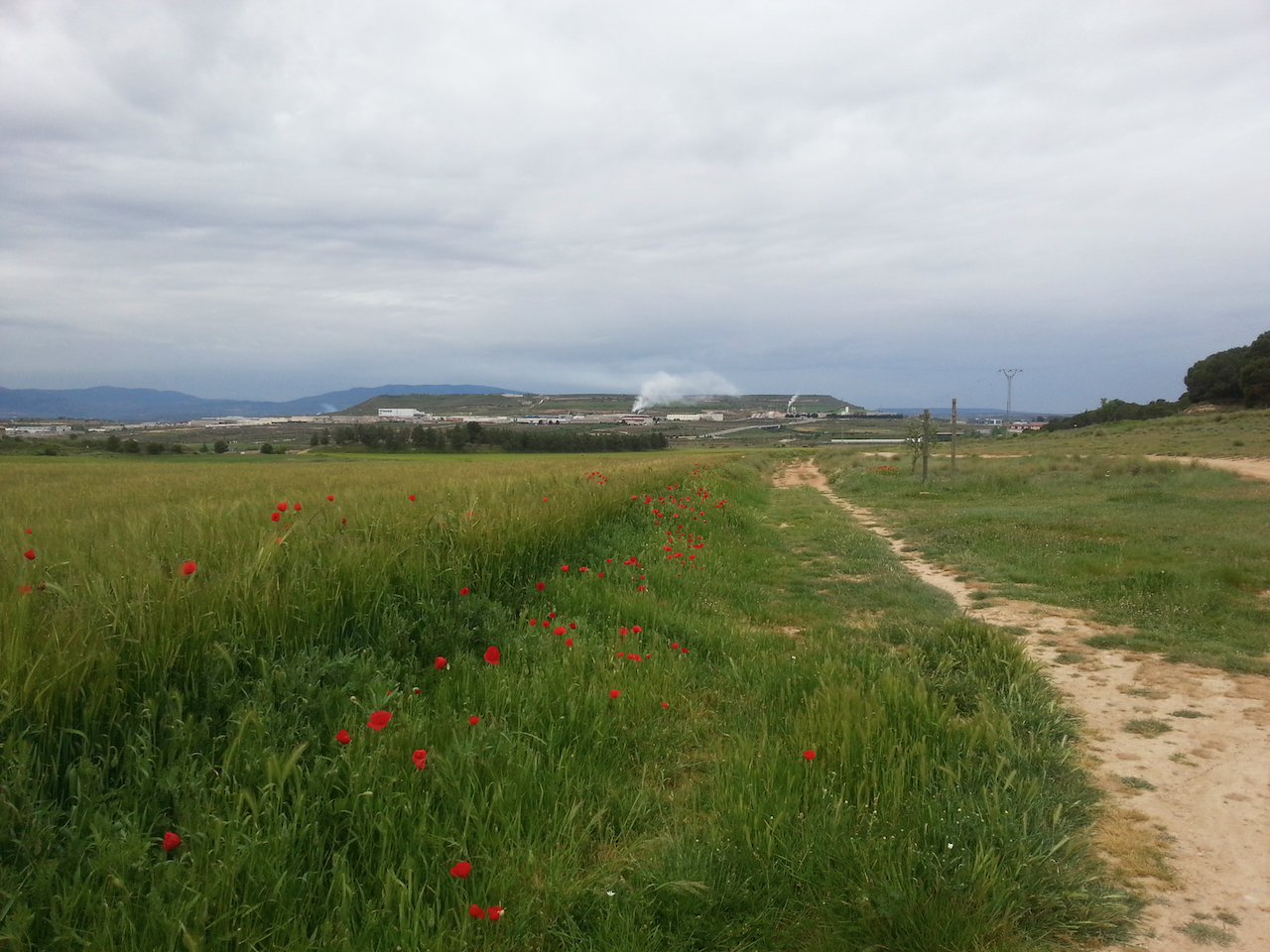
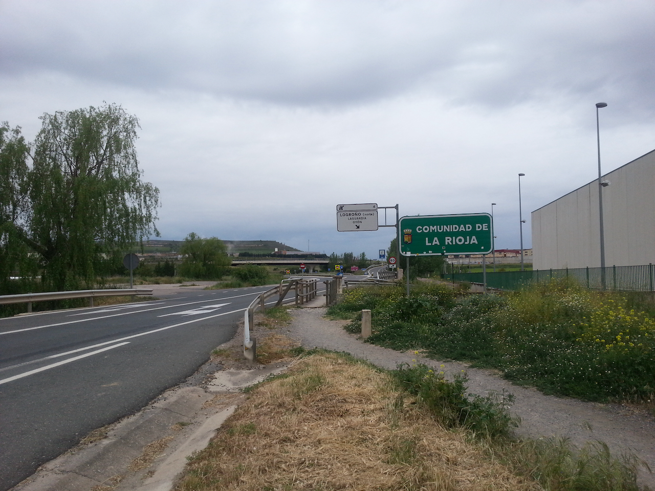
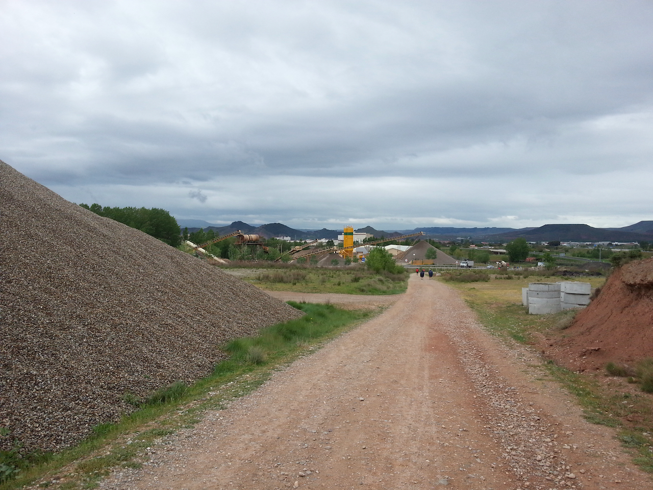
Industry – cement works and gravel crushing – at the outskirts of Nájera.

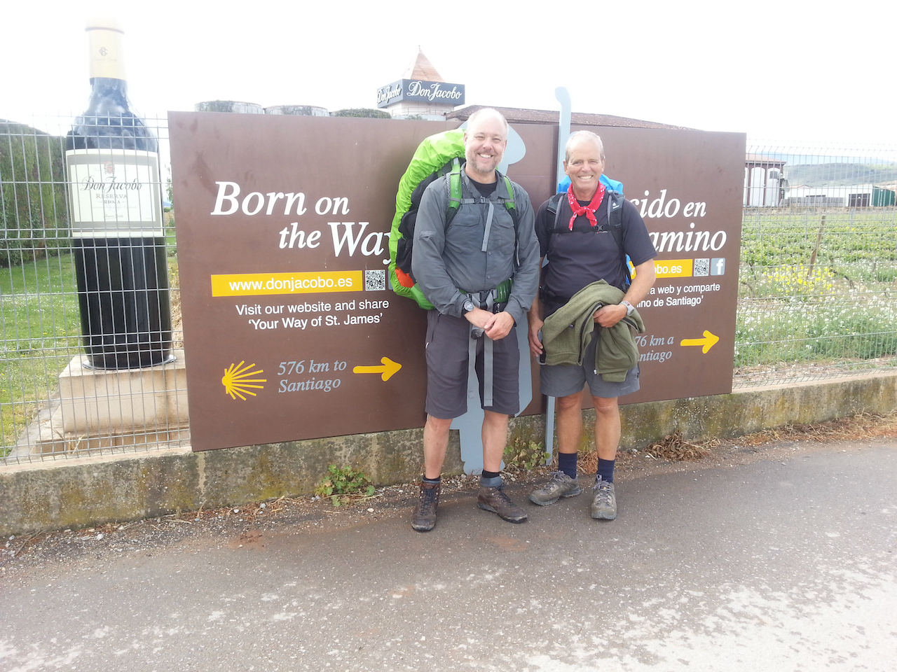
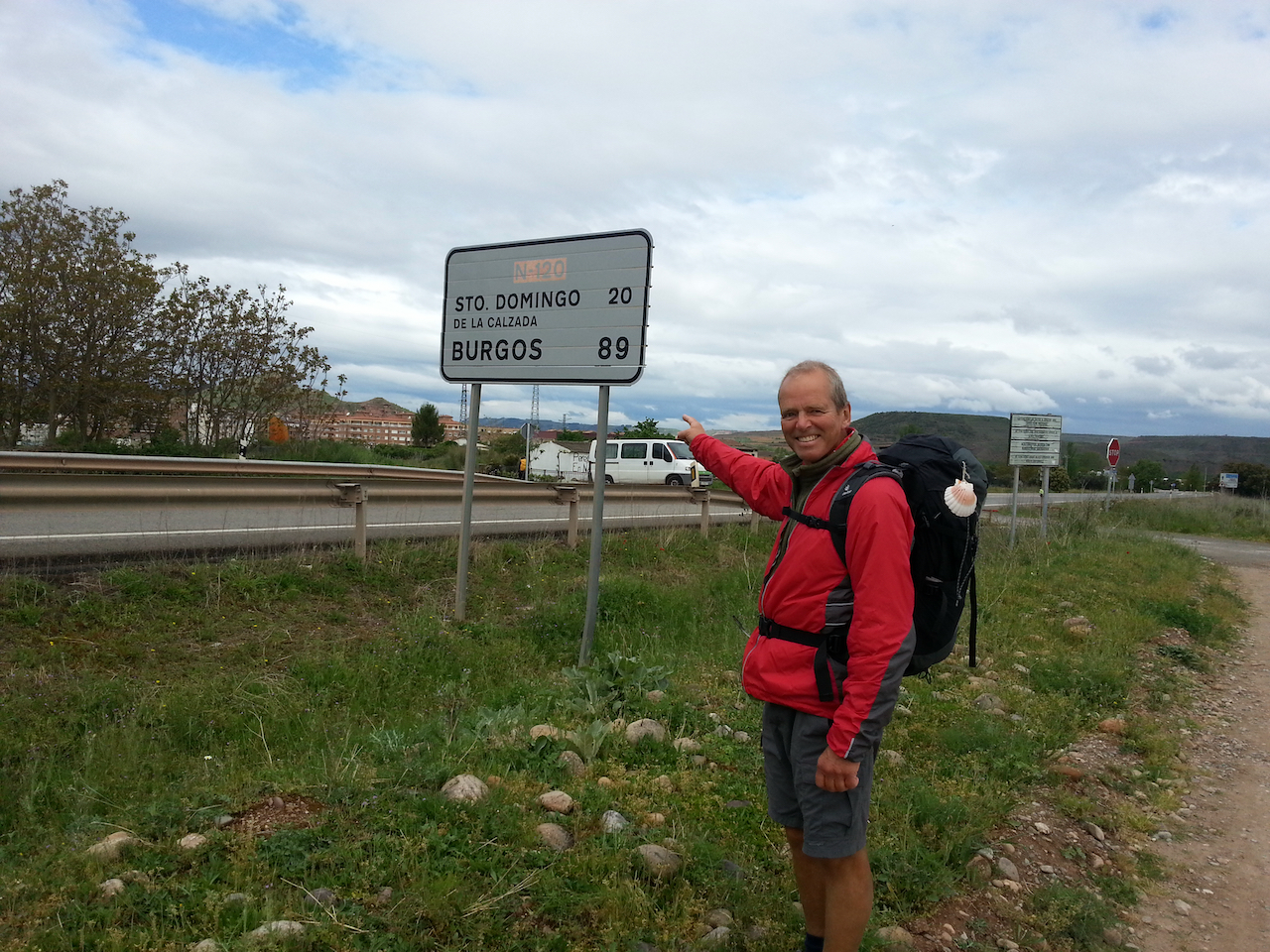
Only 89 km by road to Burgos (a little longer on foot; it will take me four days at the rate I’m going – I expect to arrive there Tuesday next week).
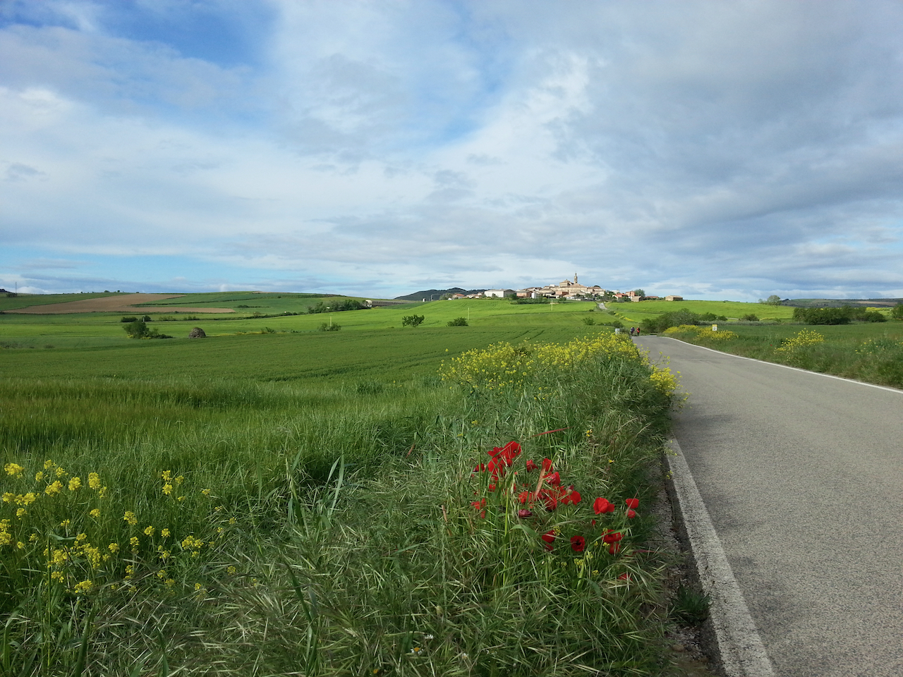
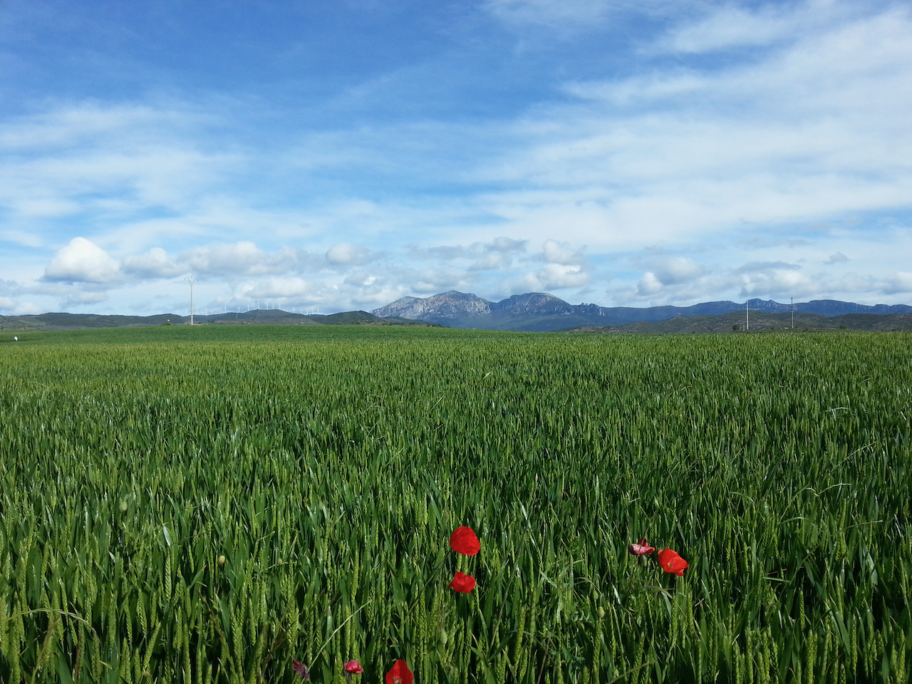
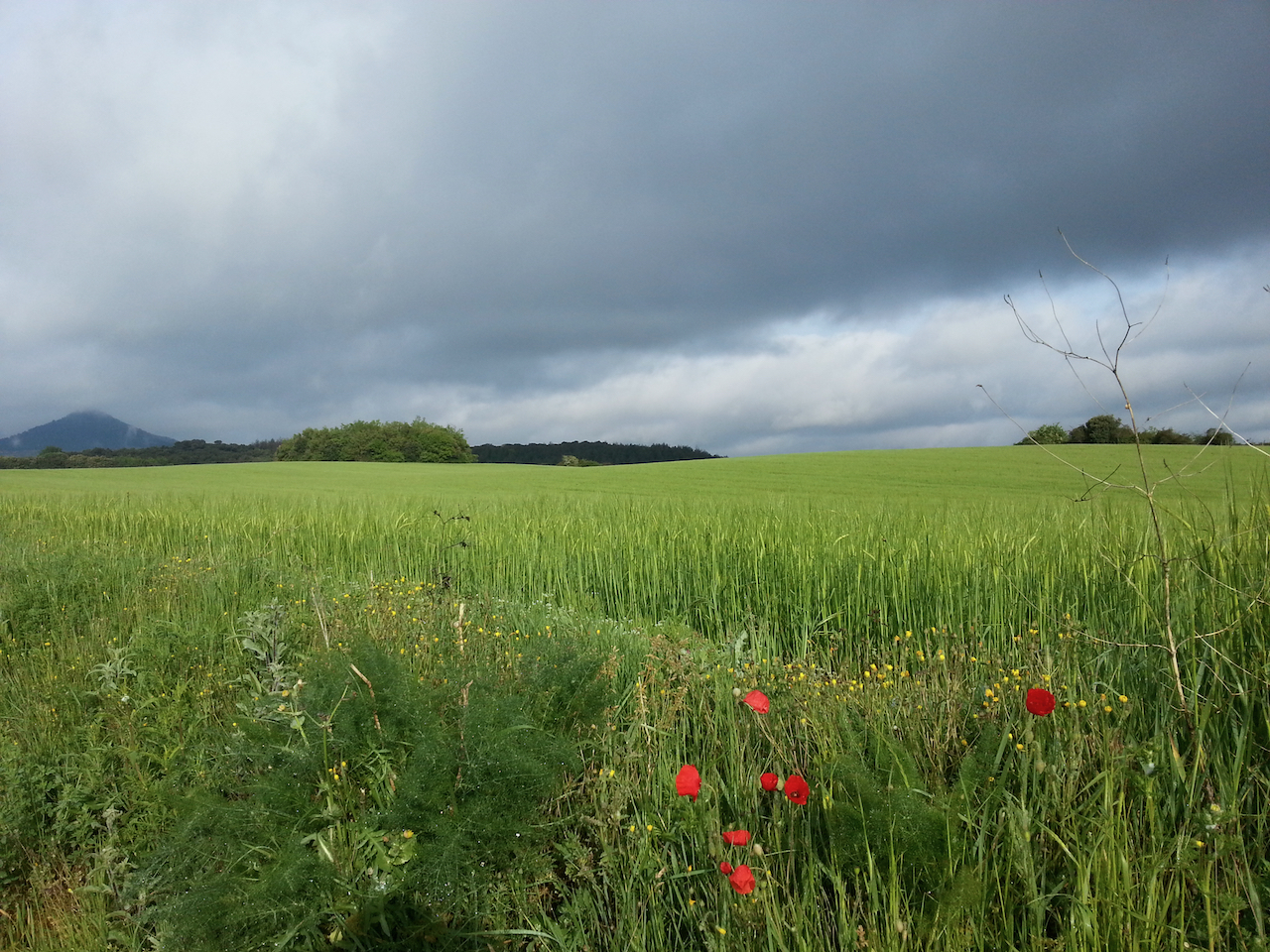
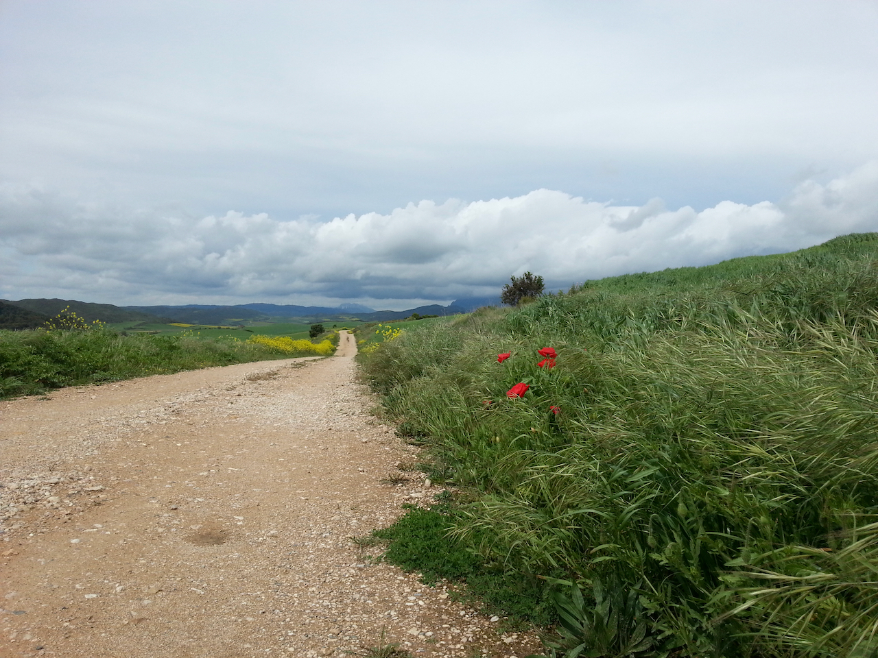
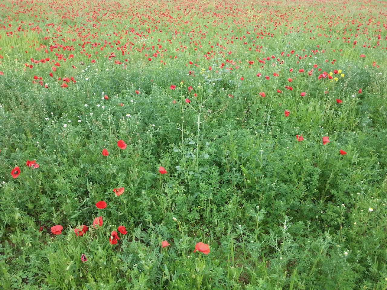
Poppies.

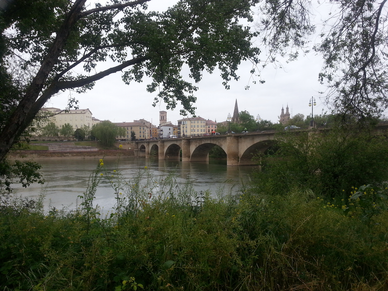
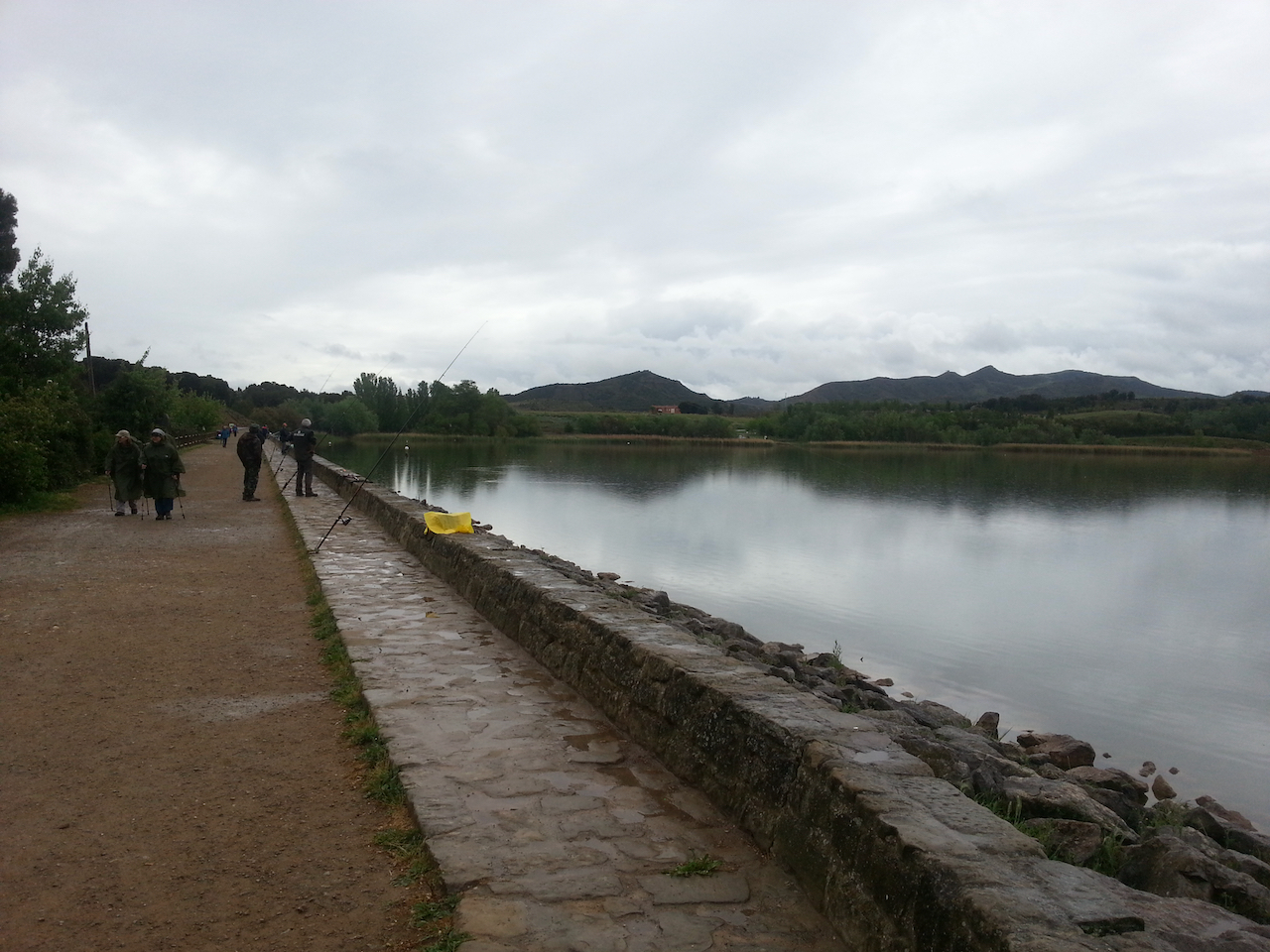
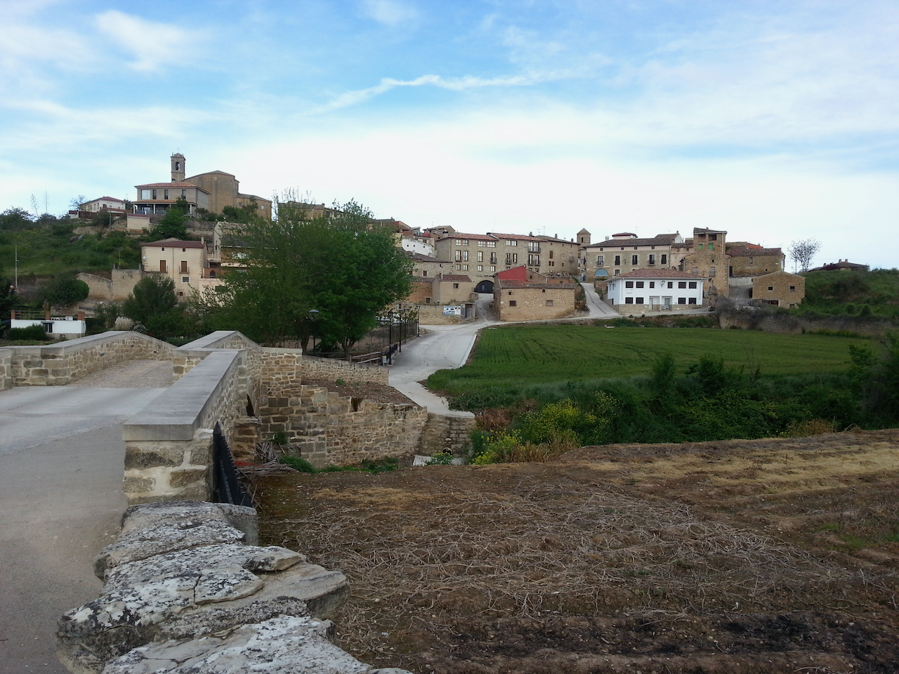
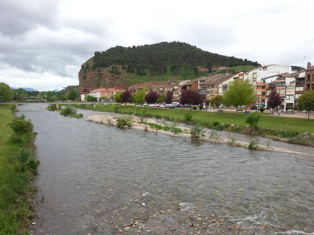
The Rio Najerilla in Nájera.

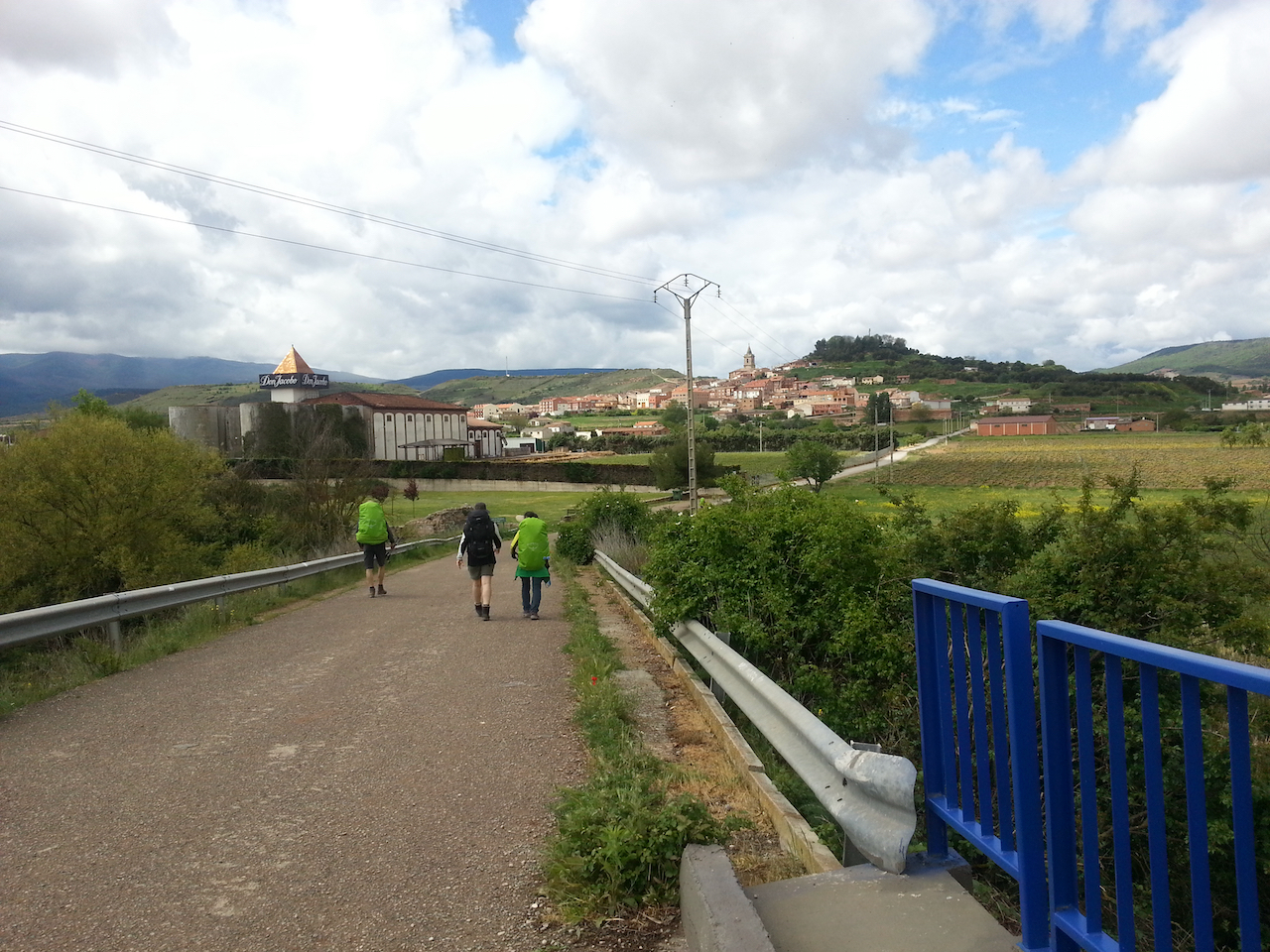
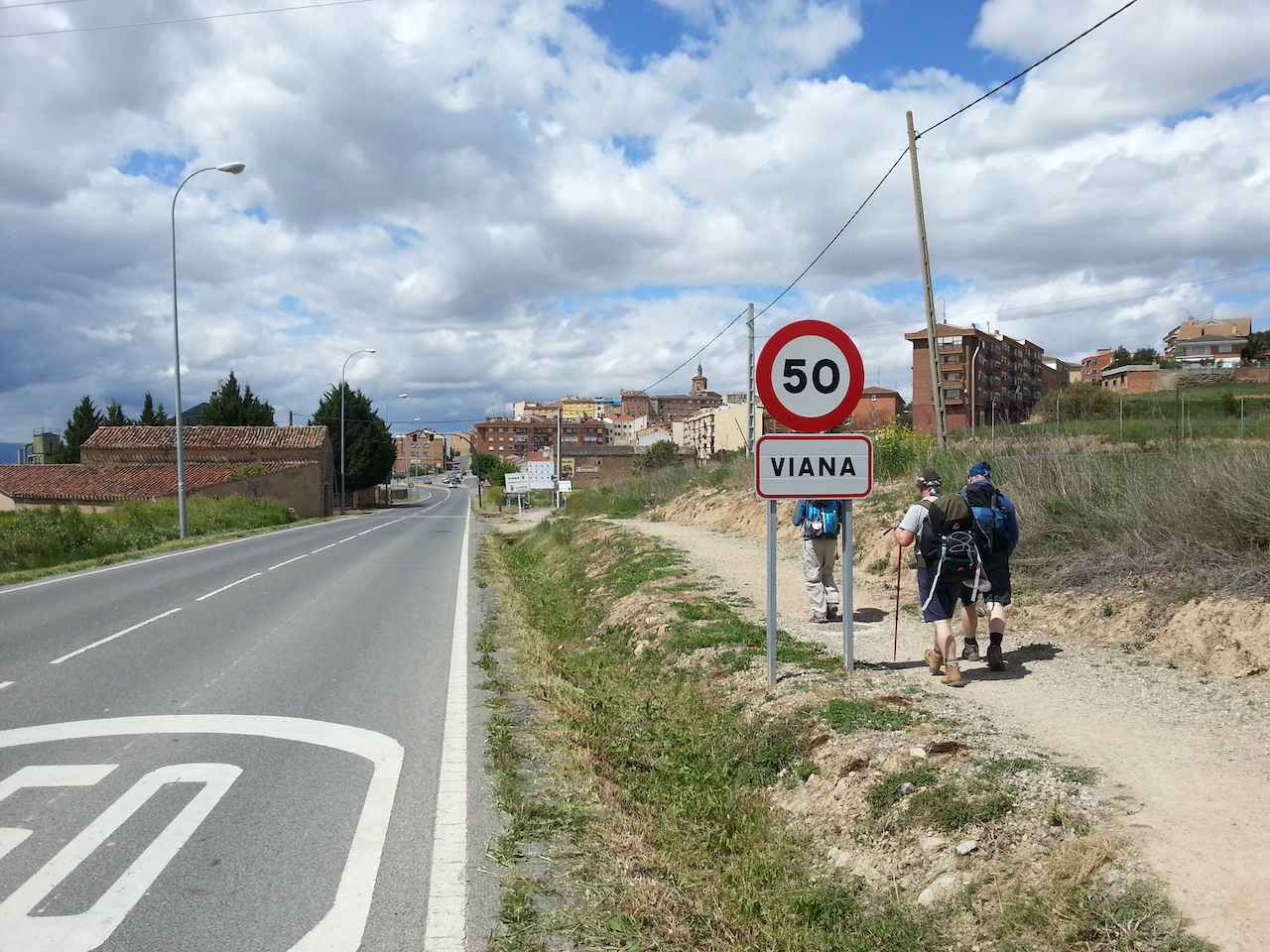
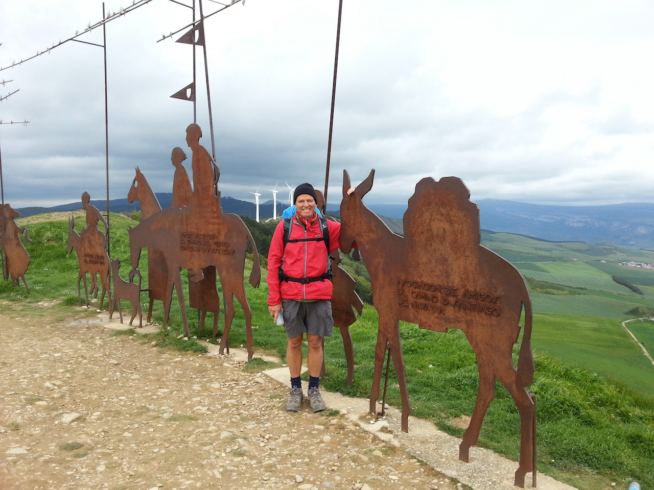
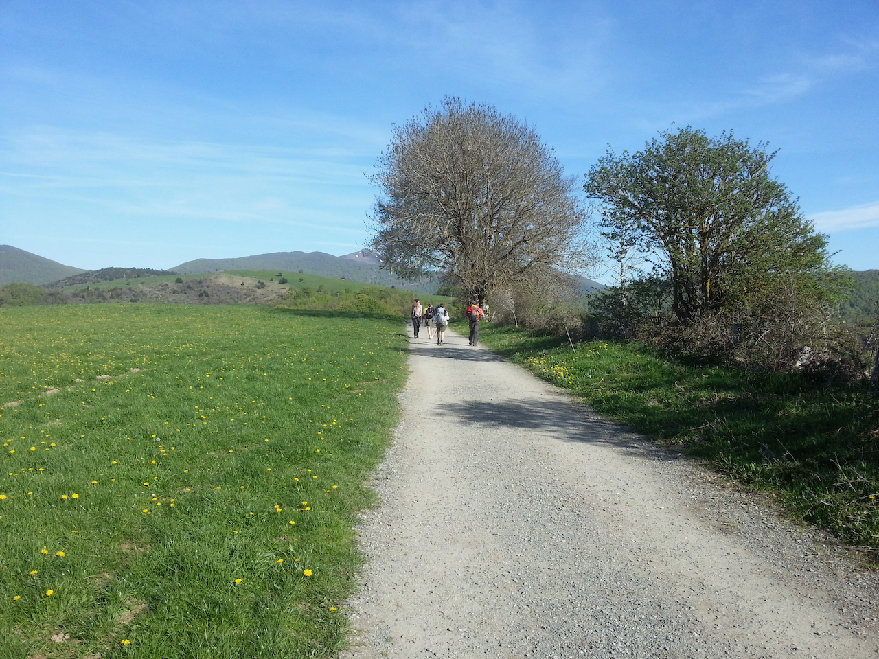
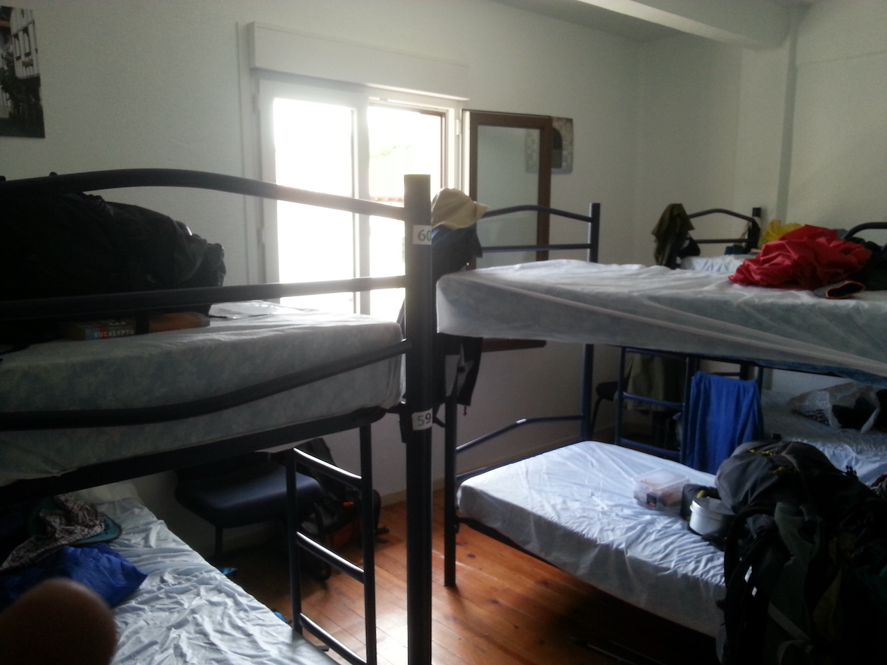
The daily walking cohort is changing daily, as I catch up with others and others catch up with me. Makes for interesting conversations with new friends while walking and while stopped. Despite the changing faces, there are some familiar ones, peregrinos that have been level-pegging with me all the way from St-Jean-Pied-de-Port (seems like such a long time ago I was there).

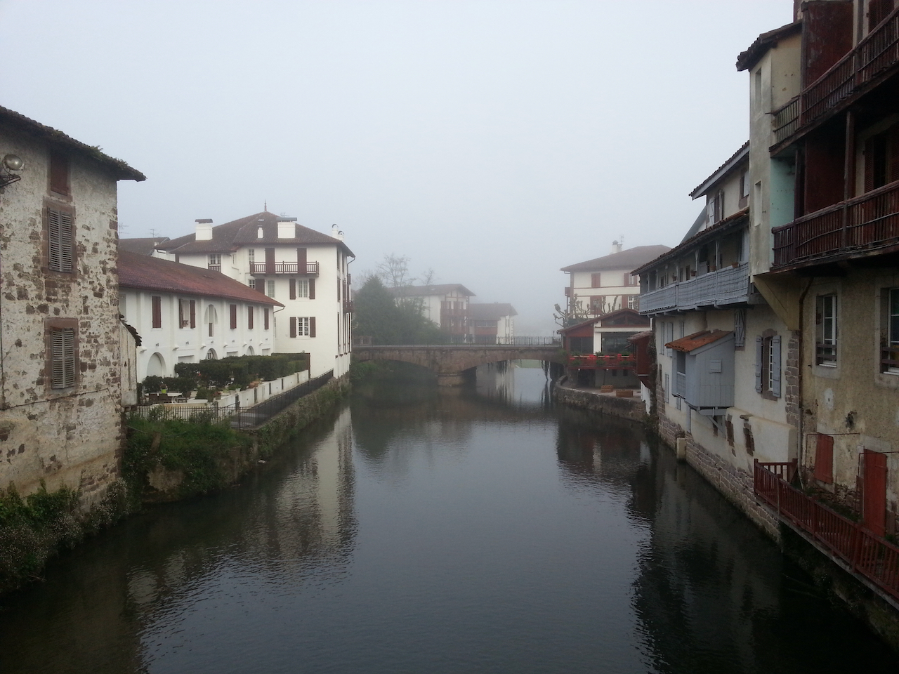
Received a few days back a photo of the folk who stayed at Beilari in St-Jean-Pied-de-Port the first night I was there. I’ve added it to the post for that day.

Viana to Navarrete

22.2 km and 4:39 (see map).

An overcast start to the day. It started raining soon afterwards and didn’t clear for a couple of hours. The stunning landscapes of the past week finally gave way to the drab monotony of a large conurbation, Logrono. Once into the old town though it was a different matter – another lovely medieval town to walk through. Stopped for breakfast for an hour (waiting for the rain to pass as well as filling up on coffee) then headed off again for the final 10 km to Naverrete. The rain stopped, the clouds broke up allowing the sun to shine through and the city was left behind.

At the border between Navarre and La Rioja regions.

Bridge over the Rio Ebro, leading into the old quarter of Logrono.

Tim, my walking companion.

Town plaza in Logrono.

Walking through the Logrono city streets.

Finally at the city outskirts.

Nearing Navarrete.

Only 576 km to Santiago.

Mother walking at least a part of the Camino with young son plus pushchair plus large pack. Didn’t get to hear her story.

Los Arcos to Viana

An easy walk today – 18 km and 3:48 (see map).

The country is opening up now, out of the high passes and deep valleys of the past week. Land use is changing gradually too, from predominantly wheat, barley and rape to grapes and groves of olive and almond trees. Good weather for walking – mild, warm (but not excessively so). Not so many peregrinos on the path either through the day – numbers seem to have thinned out since Pamplona.

With Bill (from Ireland) at a coffee stop.

Estella to Los Arcos

A shorter day today – 20.7 km and 4:28 (see map).

Easy walking, again through lovely rolling countryside.

At the outskirts of Estella …

Then, a stop at the wine fountain for a scallop-shell full of rioja …

The green crops are wheat and barley. The yellow-flowered crops are rape.

Have found a bed for the night in an albergue run by an Austrian (€11 for bunk in 4-bed room, €3.50 for breakfast in the morning). Los Arcos another medieval town with a large church. Nice square to sit in the sun in, and the wifi from the nearby bar is strong.

I’ve been on the camino now for seven days, with one day off. Settling in to a comfortable daily rhythm. Very affordable traveling: accommodation €8-18 a night, the cheaper end of that range in municipal hostels; €1-1.50 for a cup of coffee or tea; €4-5 for breakfast – orange juice, coffee, boccadillo (sandwich with ham and cheese) and about the same for lunch; €10 for three-course peregrinos dinner – salad, main (usually meat and sauce or chips, and tart for dessert, plus glass of passable red); €1.50 for glass of red in a bar.

Pamplona to Puente La Reina

25.5 km and 5:57 (see map).

A dull start to the day. Cloudy and with a cold wind.

First stop out of Pamplona was a panaderia in a side street off the camino. The centre of early Sunday morning life in the small village. The kids took great pleasure selecting their pastries.

Rolling meadows from then on, with a gradual climb up to a ridgeline. Showers became a little more insistent from here on so it was on with the rain coat. Countryside still beautiful though, despite the weather.

A vending machine totally dedicated to the needs of the peregrino – blister pads, nail clippers, tape, wound dressings, etc. Not a pack of potato chips in sight, but there were condoms (€7) – did wonder whether they would be useful on toes to prevent chafing.

Roncesvalles to Zubiri

21.5 km and 4:53 (see map).

Easier walk today – undulating rather than lots of big hills/mountains and some downhill for the last few kms. Another day of spectacular scenery. A few high clouds about, but sunny and warm.

Wifi bandwidth abysmal so far – too many peregrinos trying to access it at once. Consequently uploading photos challenging. Will keep trying.

790 km by road. About the same on foot.

Inquisitive (and, I must say, rather attractive) sheep.

Breakfast stop. Interesting juxtaposition of bar and church, although I suppose each could be considered a sacred place.

Started to see a few rivers today.

Pretty houses in the villages.

Typical countryside for the morning.

Morning tea stop.

A slug.

Haven’t seen or heard any wild animals yet. Greatest danger faced so far is spearing by an errant walking pole.

Not much grass in this small village.

Blind corners abound.

A coffee cart a few km before Zubiri.

The municipal albergue at Zubiri.

€8.00 for a comfortable bunk bed in a bright airy room.

Saint-Jean-Pied-de-Port to Roncesvalles

24.2 km and 6:23 (see map).

Clear blue skies, warm, nary a breeze. 16 km up to 1,400 m, then level for a while before 5 km descent into Roncesvalles. Beautiful walking. Bunk for night in 180-bed albergue in old monastery. €10. Albergue is full. Phone about to run out of charge so this will be all I’ll post until later. Will put some photos up too – took at least a hundred or so.

Leaving Saint-Jean-Pied-de-Port. About 5 deg and foggy.

8.75 kg pack weight. Not bad. Includes sandwiches and copy of Eucalyptus.

Into the mist we go.

Out of the fog after a few km, to rolling rural vistas.

The camino diverges from the road part way up the hill to Orisson.

Lots of signs pointing the way. Not much chance of getting lost.

The approach to Orisson albergue and an espresso. Did think of staying here for a night, but it was full and anyway was keen to go through to Roncesvalles. Nice albergue nonetheless.

Post-espresso view of Orisson albergue, looking back down the hill.

Getting higher.

Some snow on the distant big peaks of the Pyrenees.

Ever higher and what do I see around a corner? A coffee cart. Turned out to be a good place for a lunch stop.

The unprepossessing marker of the border between France and Spain.

Through a dead forest, well that’s what it seemed like – leaves from last autumn on the ground and no new growth on the trees. Late bloomers.

Emergency shelter near the Col Lepoeder.

Snow near the col.

Emergency wifi at the col. Social media updates not supported.

Down through a grand forest …

… to the albergue in an old monastery. €8.00 for the night.