O Pedrouzo to Santiago de Compostela

19.7 km and 4:25 (see map).

So the walking is done, the Camino finished. I don’t think it has sunk in yet. I feel elated; privileged; weary. 783 km over 37 walking days plus 7 rest days. I’ll reflect on this extraordinary experience in the days to come, but right now I’m looking forward to catching up for a drink and meal with some Camino friends and then a long sleep.

To the walk into Santiago …

Onto forest trails not far out of O Pedrouzo.

A few more peregrinos on the path as the morning progressed.

A lot of folk at the first coffee stop, although many turned out to be in a school group of 14-15 year olds.

Rain clouds loom …

… with the rain coming for the last hour into Santiago (quite heavily at times).

Santiago nears.

First sighting of the cathedral.

There at last.

Then the queue for the compostela.

Molino de Marzán to Gonzar

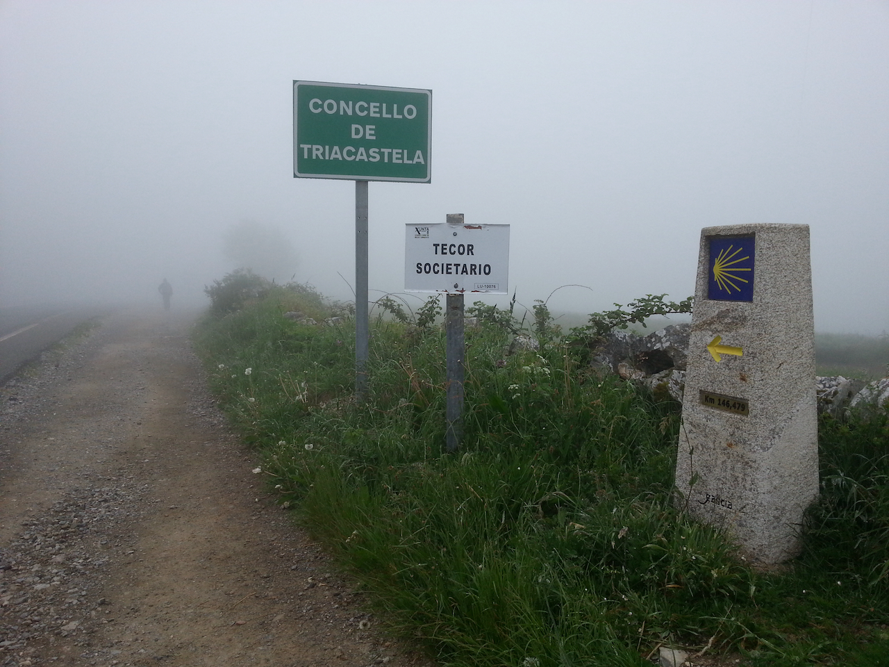
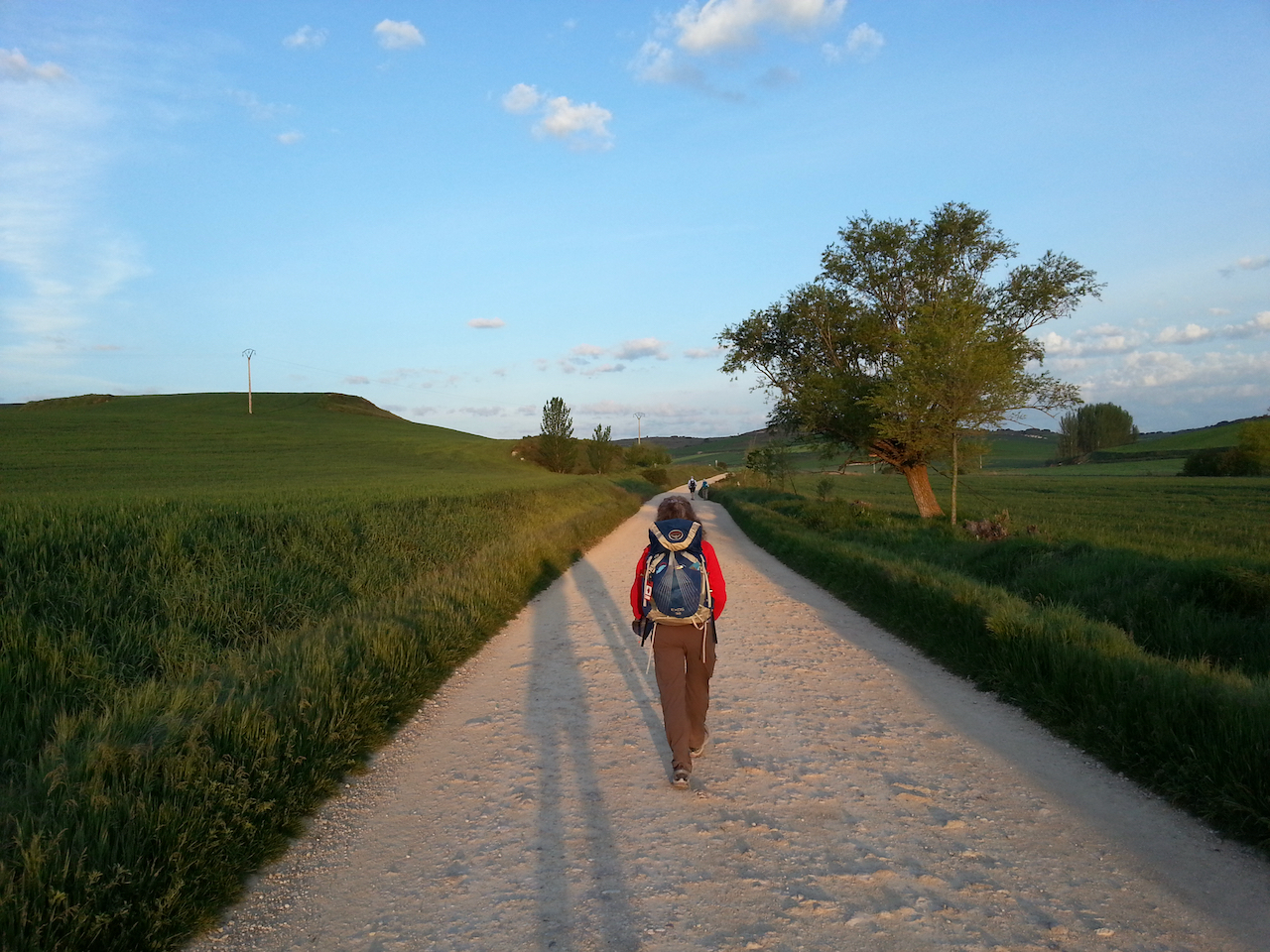
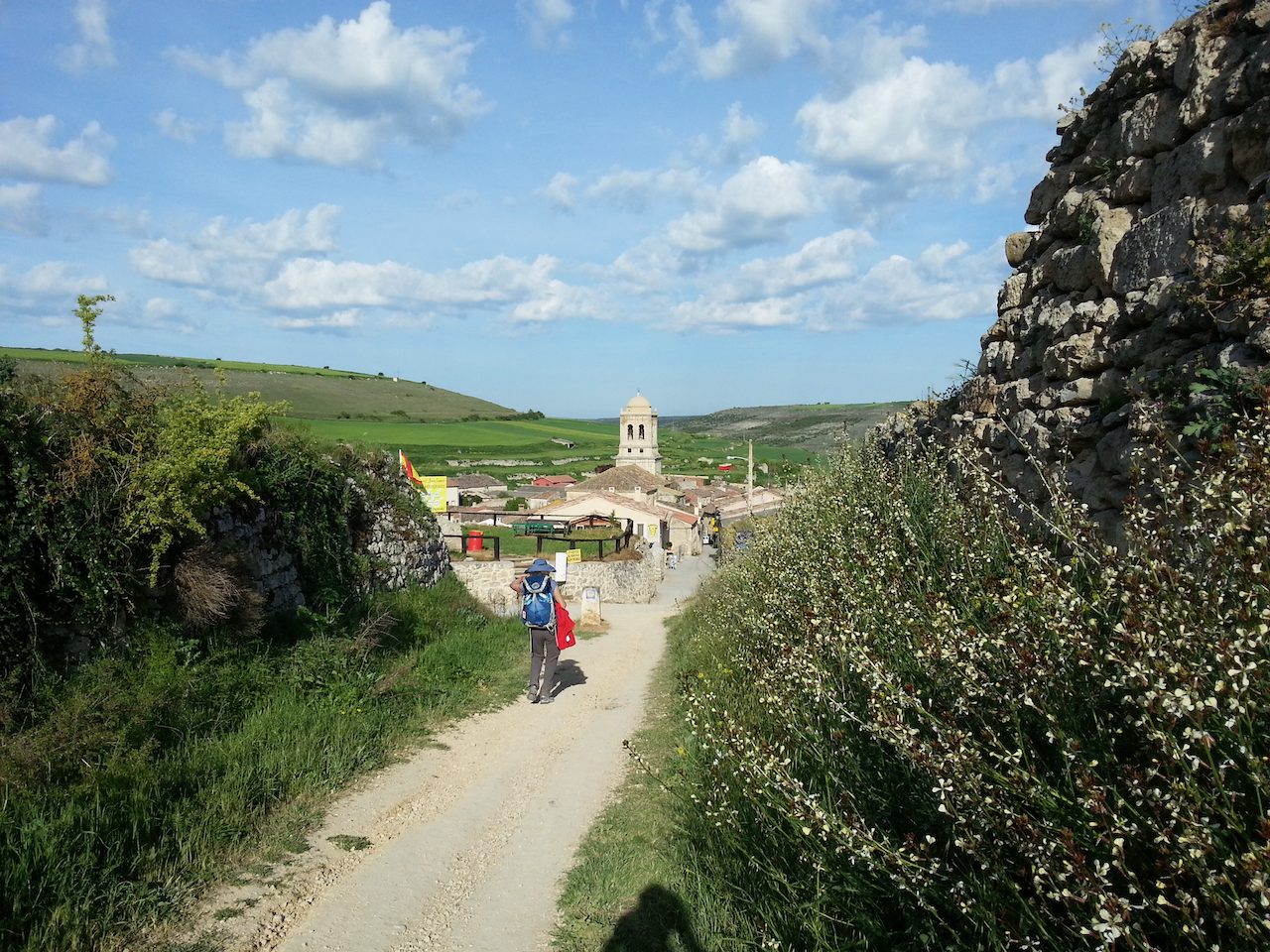
22.6 km and 5:34 (see map).

Uploading photos en route has become almost impossible, with wifi bandwidth at the albergues, cafés and bars along the way heavily used by the increasing numbers of peregrinos. Uploading and downloading text is ok (e.g. emails, chat messages), but image file transfers invariably crash. So for the next few days I’ll just write a few thoughts from the day and will upload photos to the posts after I get to Santiago. (I’ll still try to add a photo or two each day if there’s a chance.)

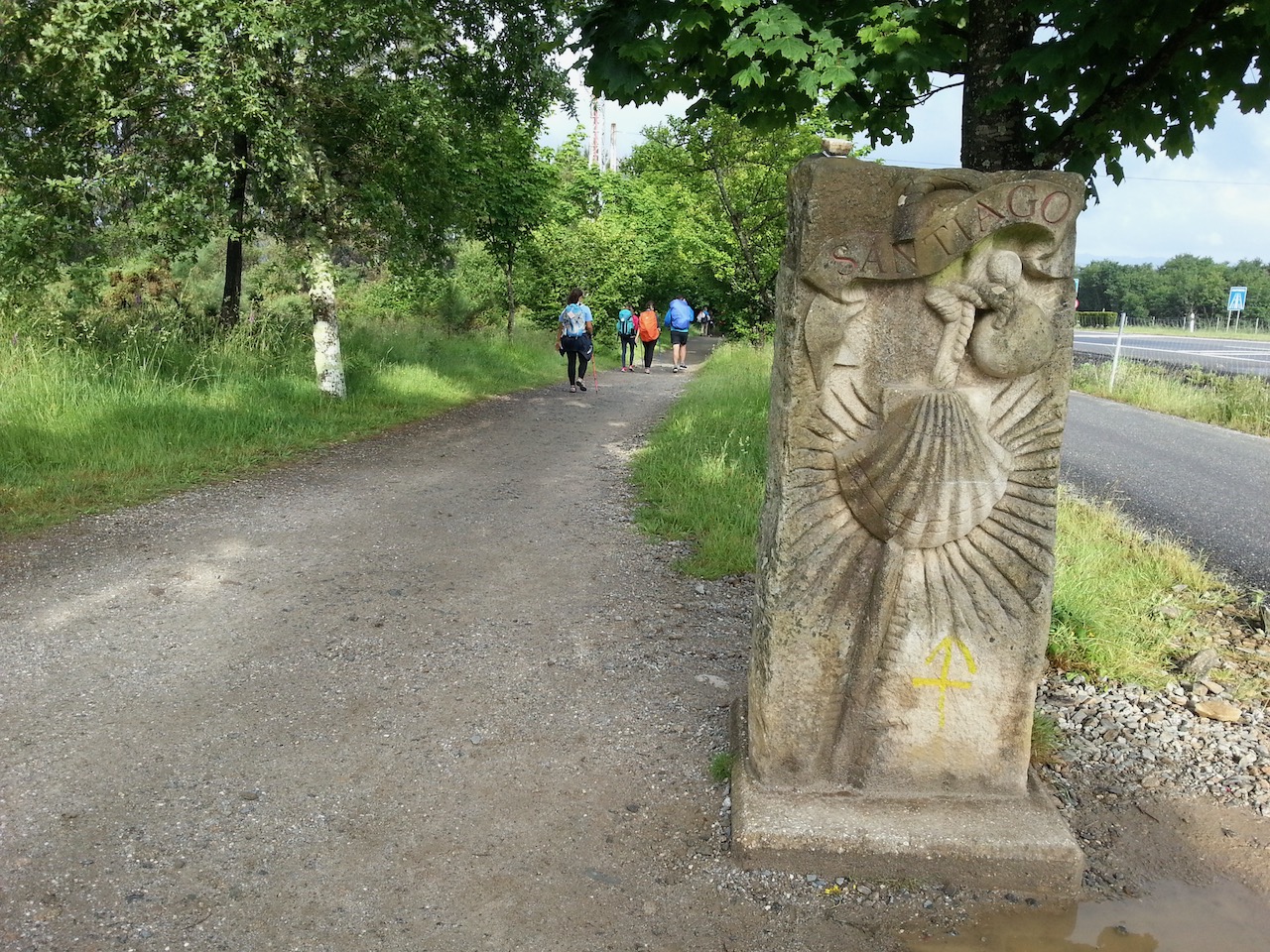
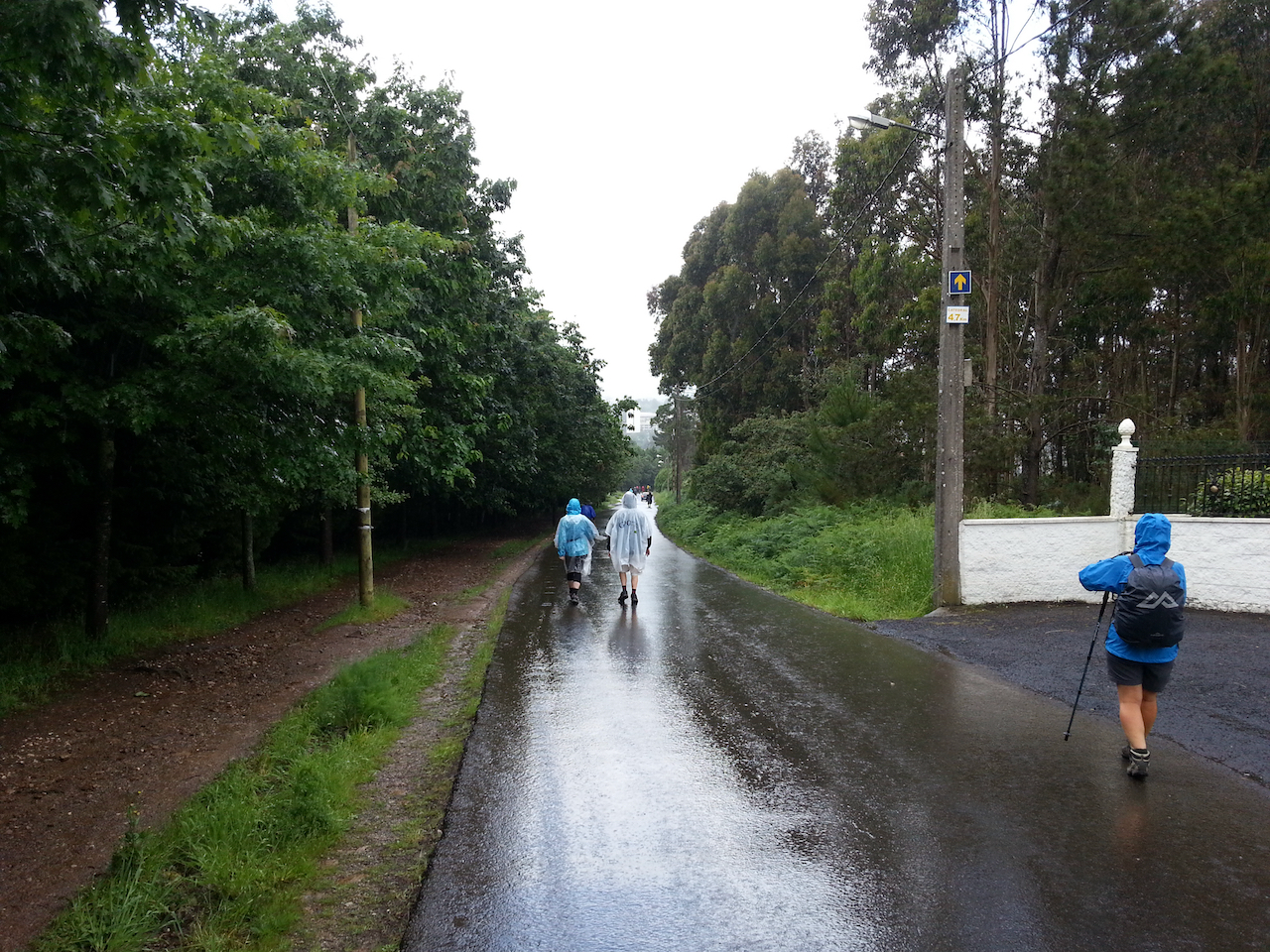
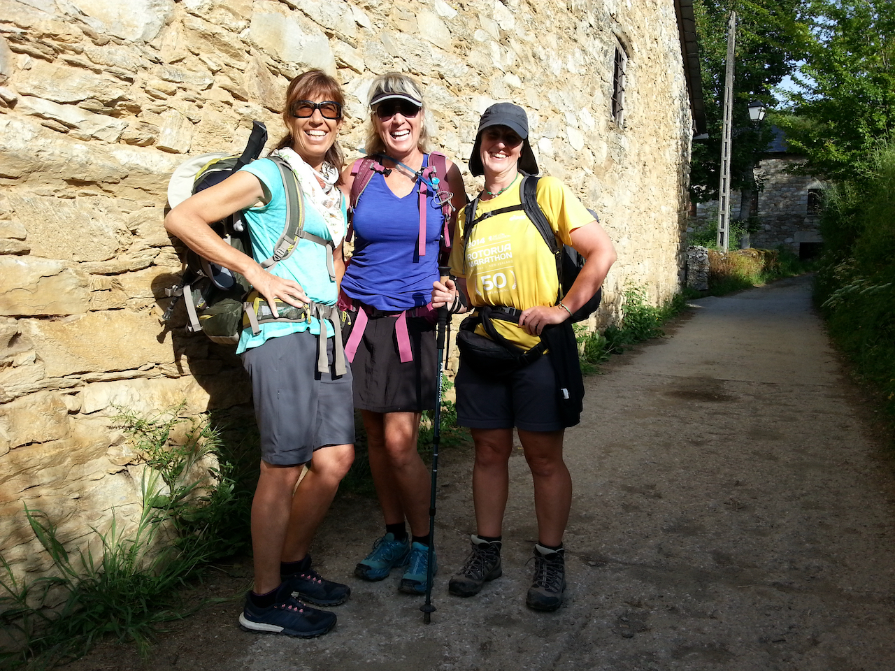
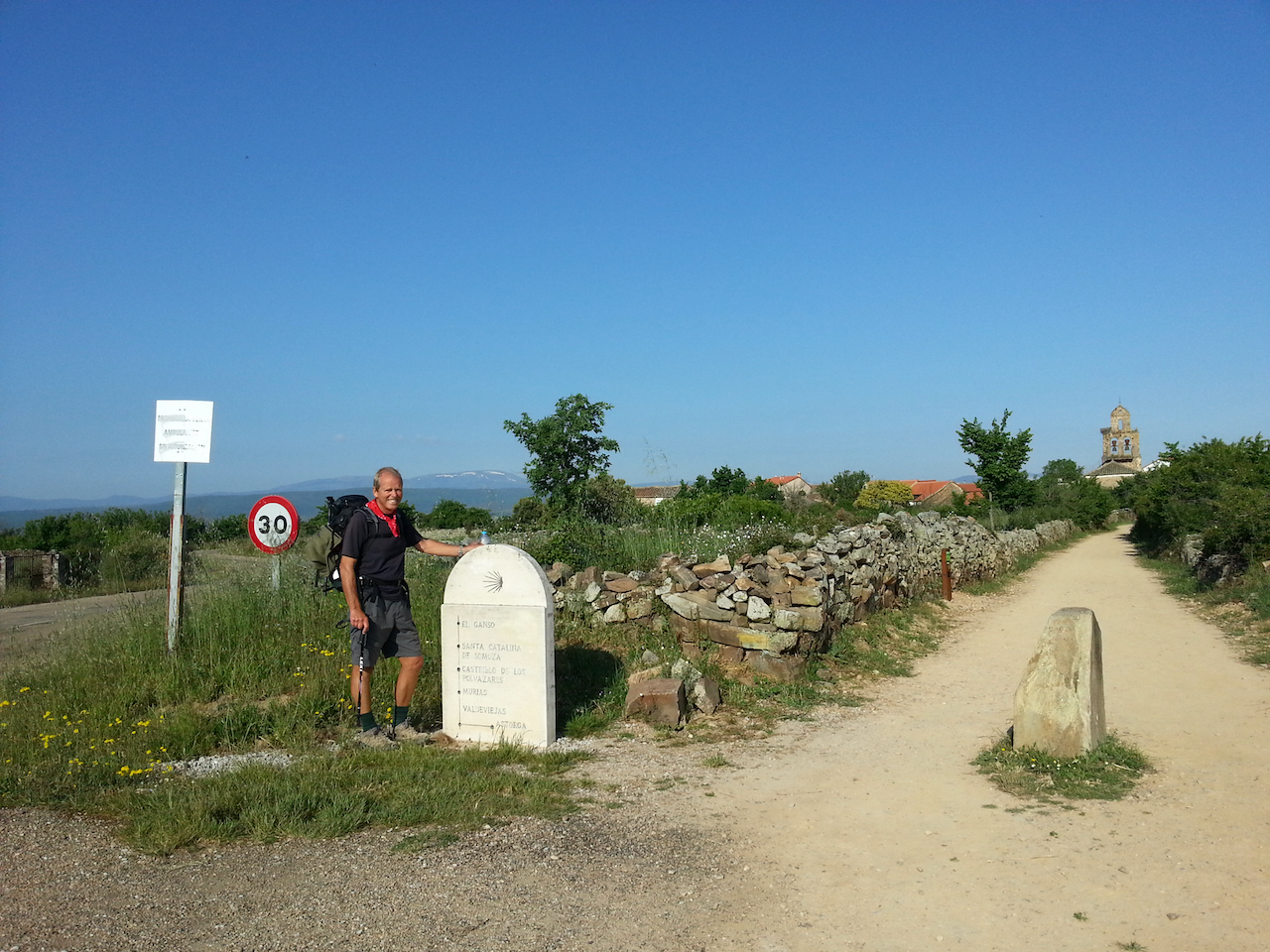
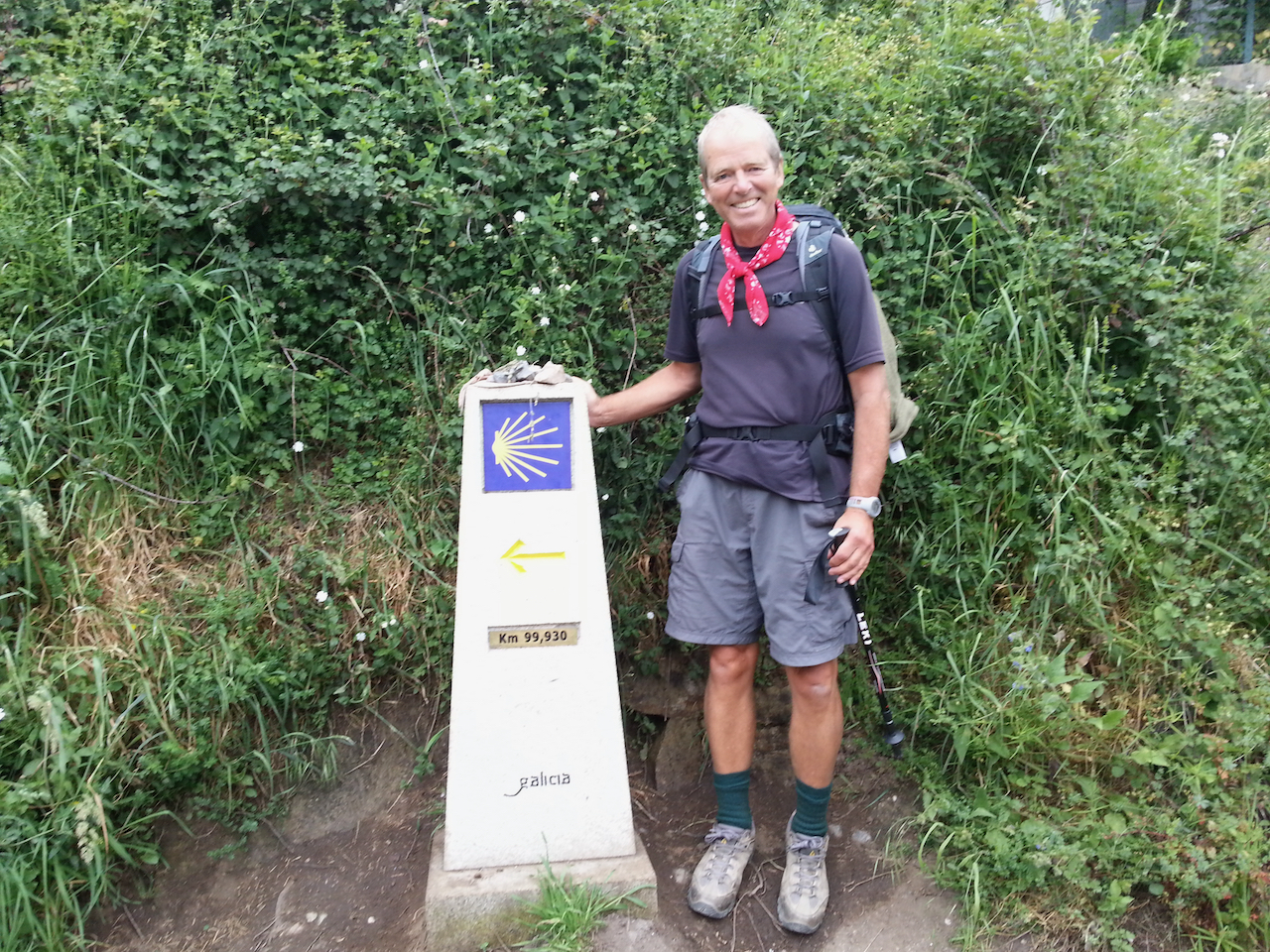
It was a good day for walking today – mild with some cloud cover. I passed the ‘99.930 km to Santiago’ marker early on, just past Ferreiros. Lots of peregrinos were stopping to have their photos taken standing by it.

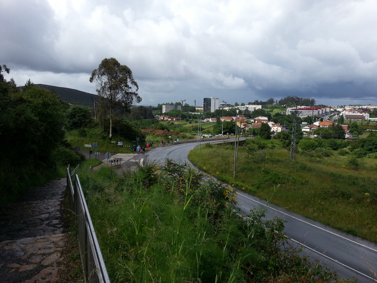
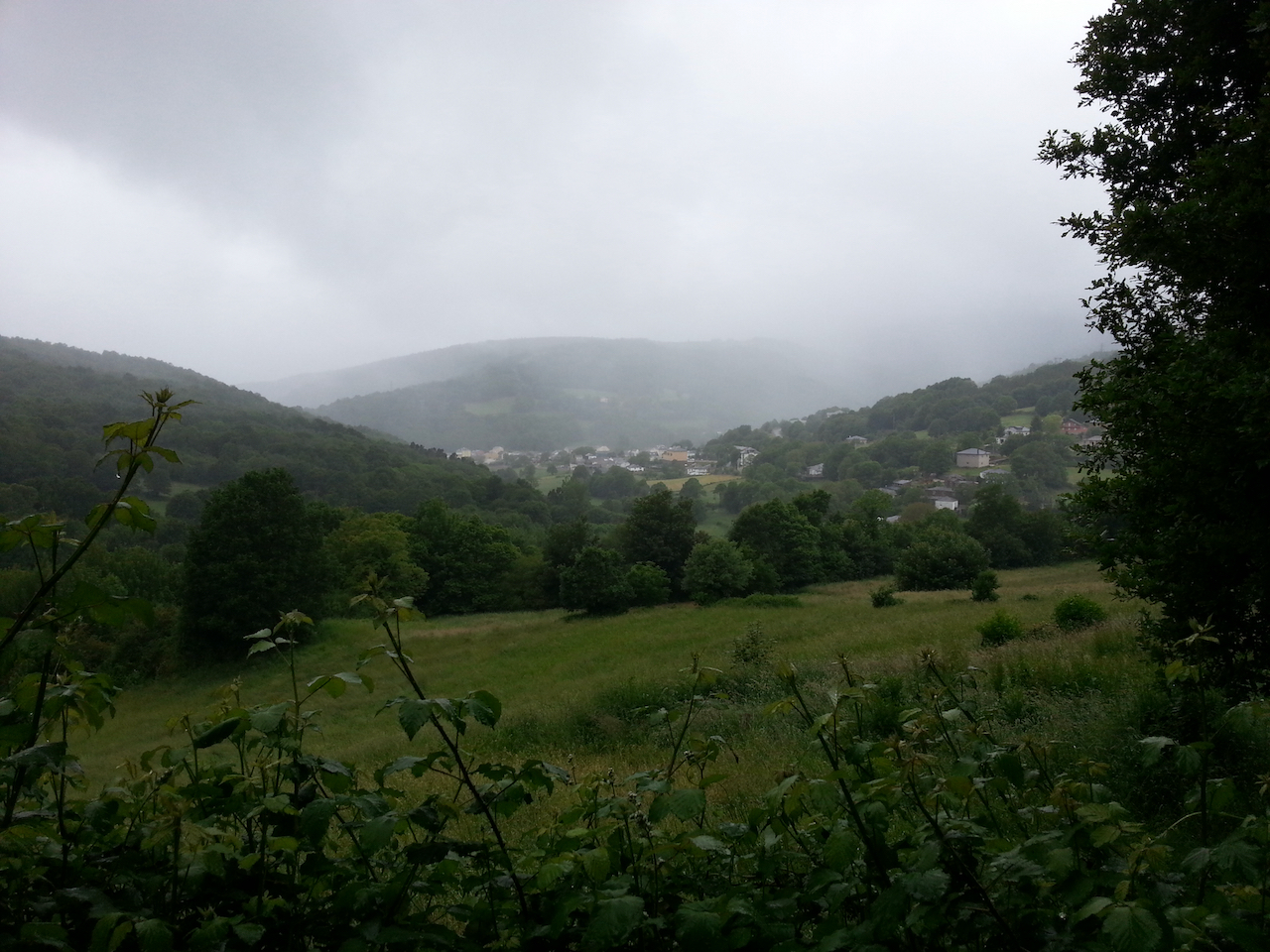
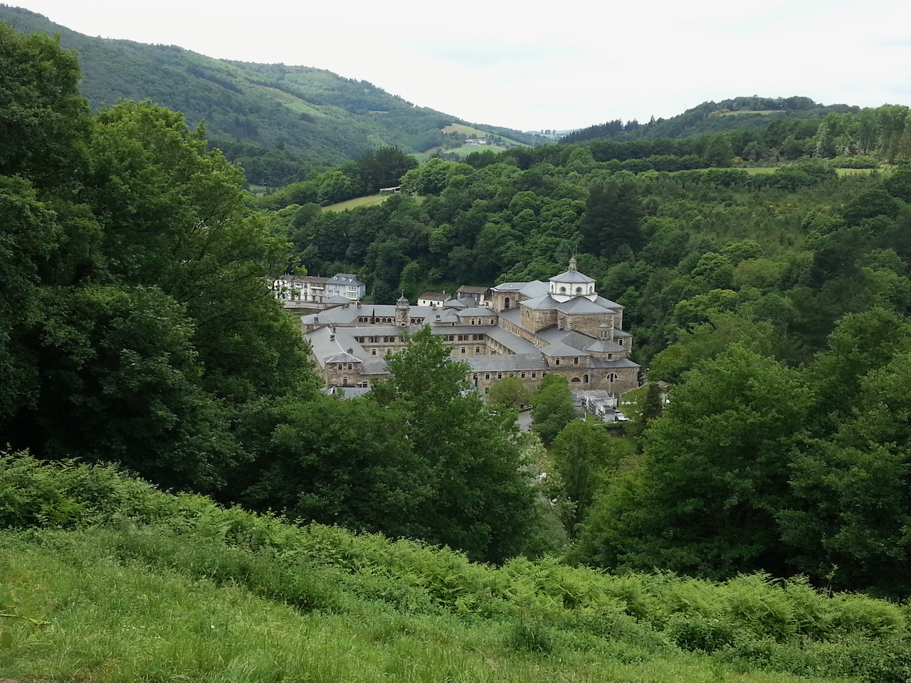
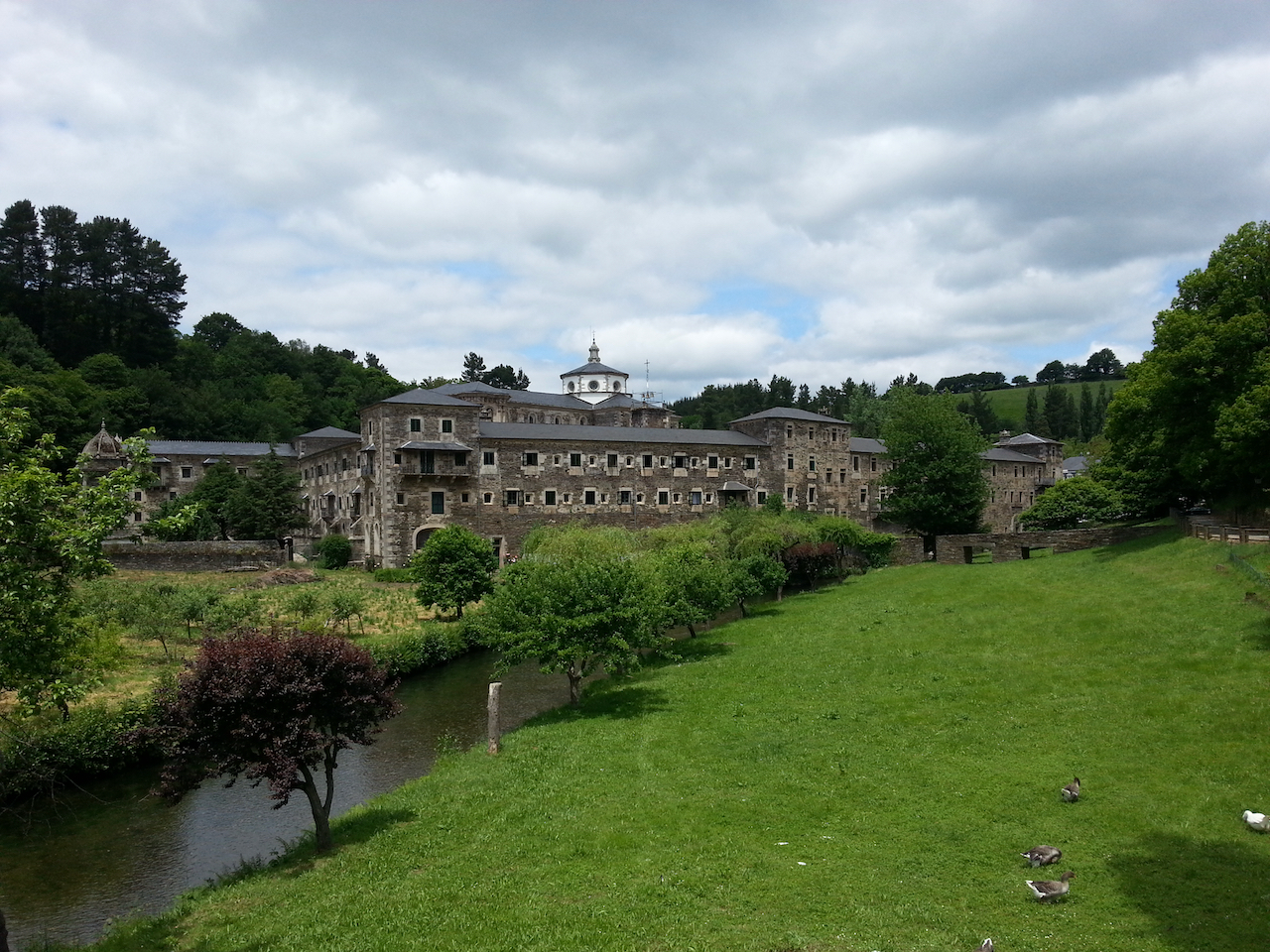
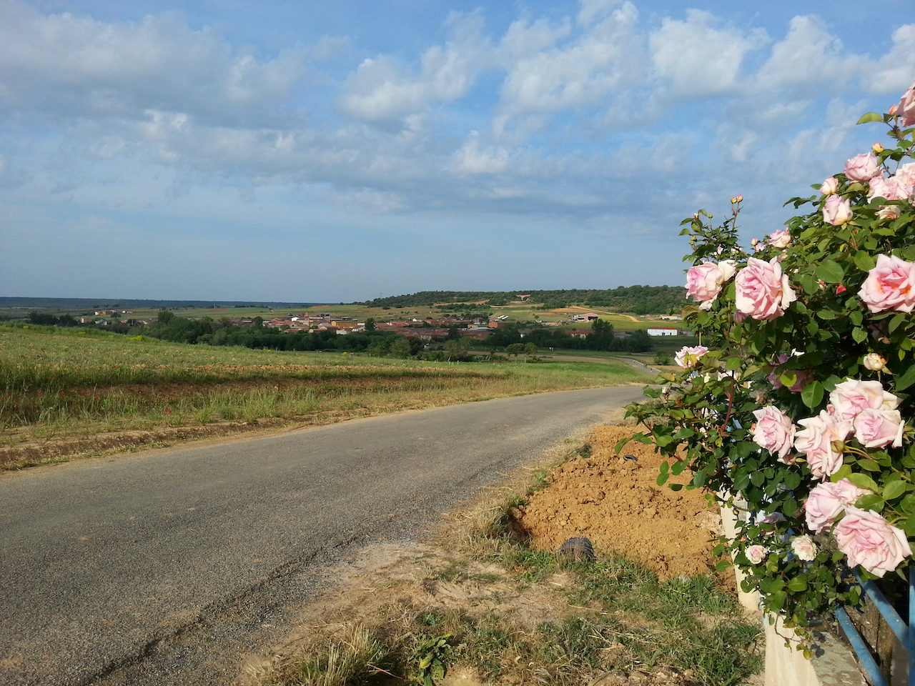
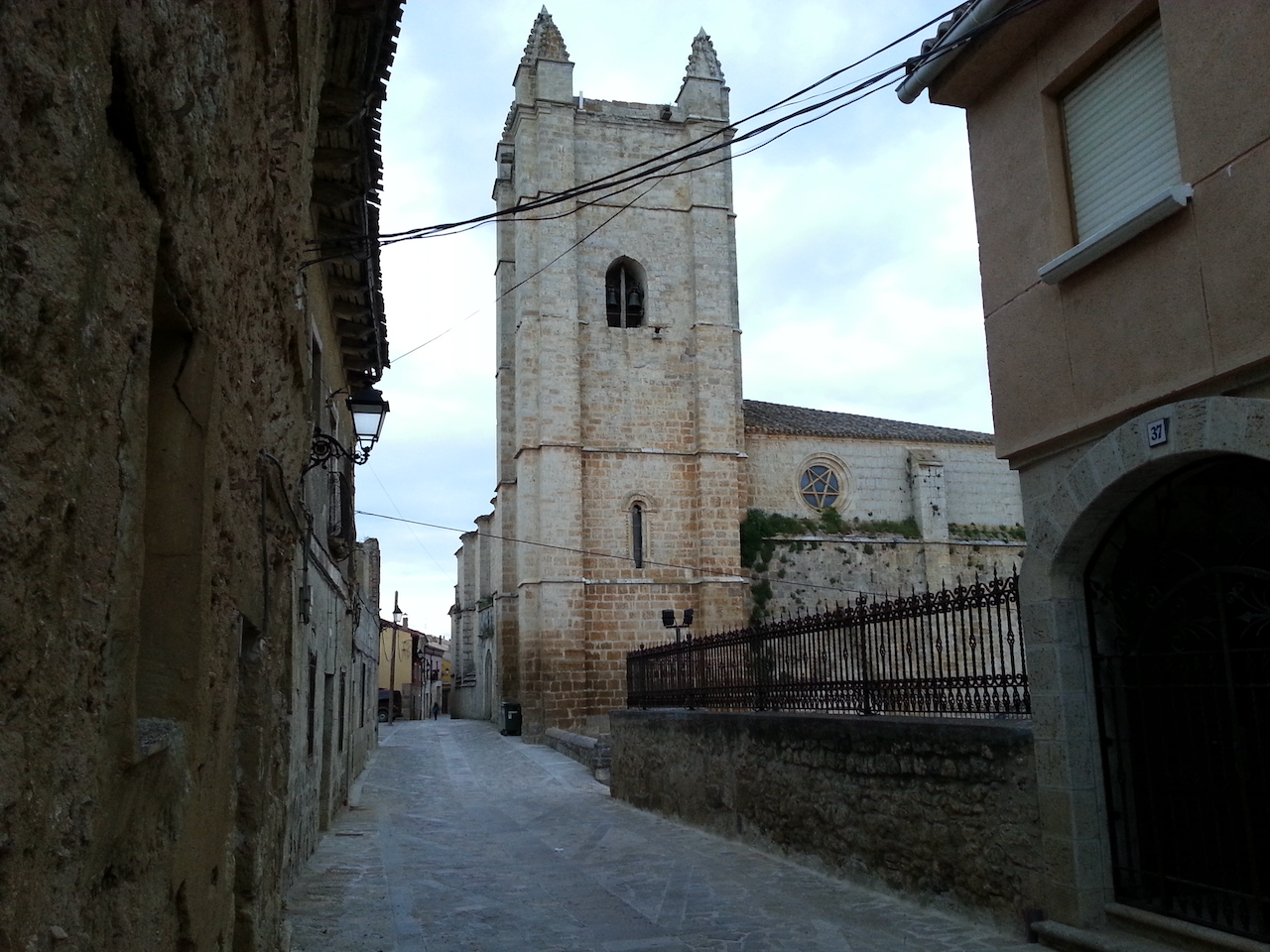
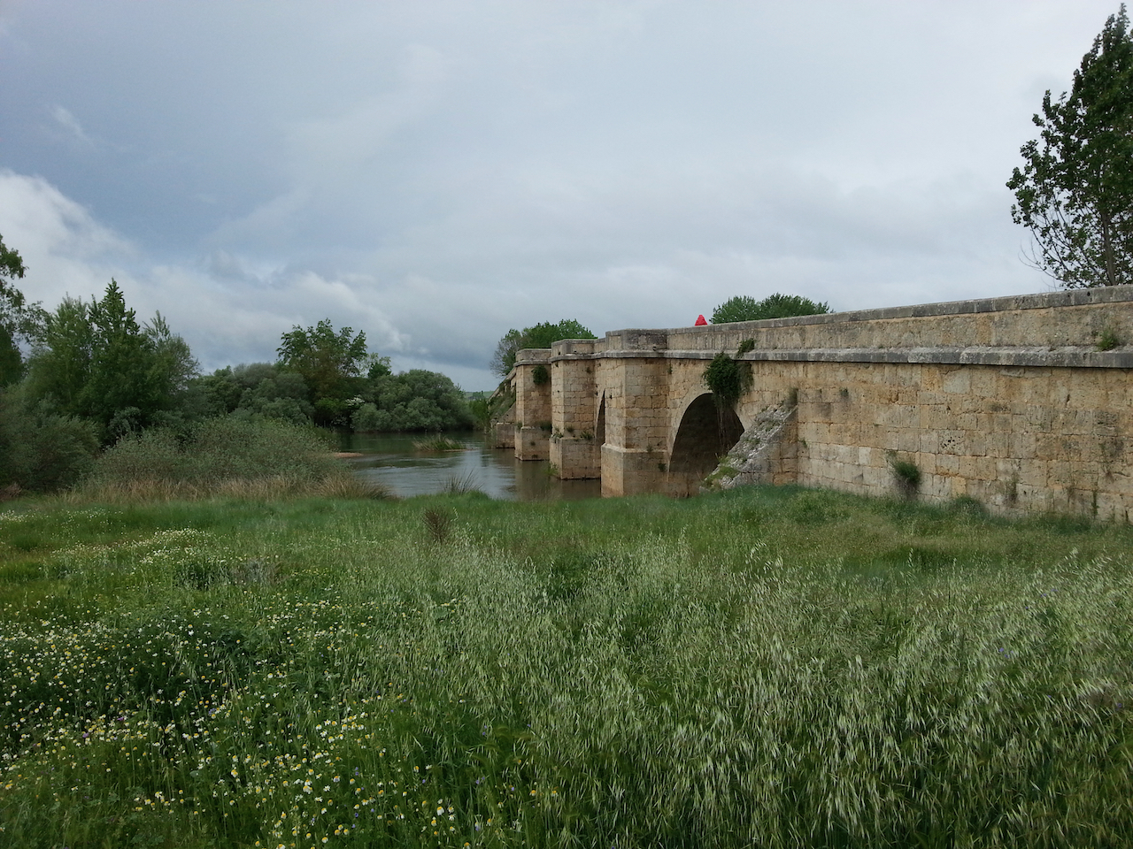
Passed through Portomarín, the largest town of the day and one set picturesquely on a hill overlooking a large expanse of water (the Río Miño).

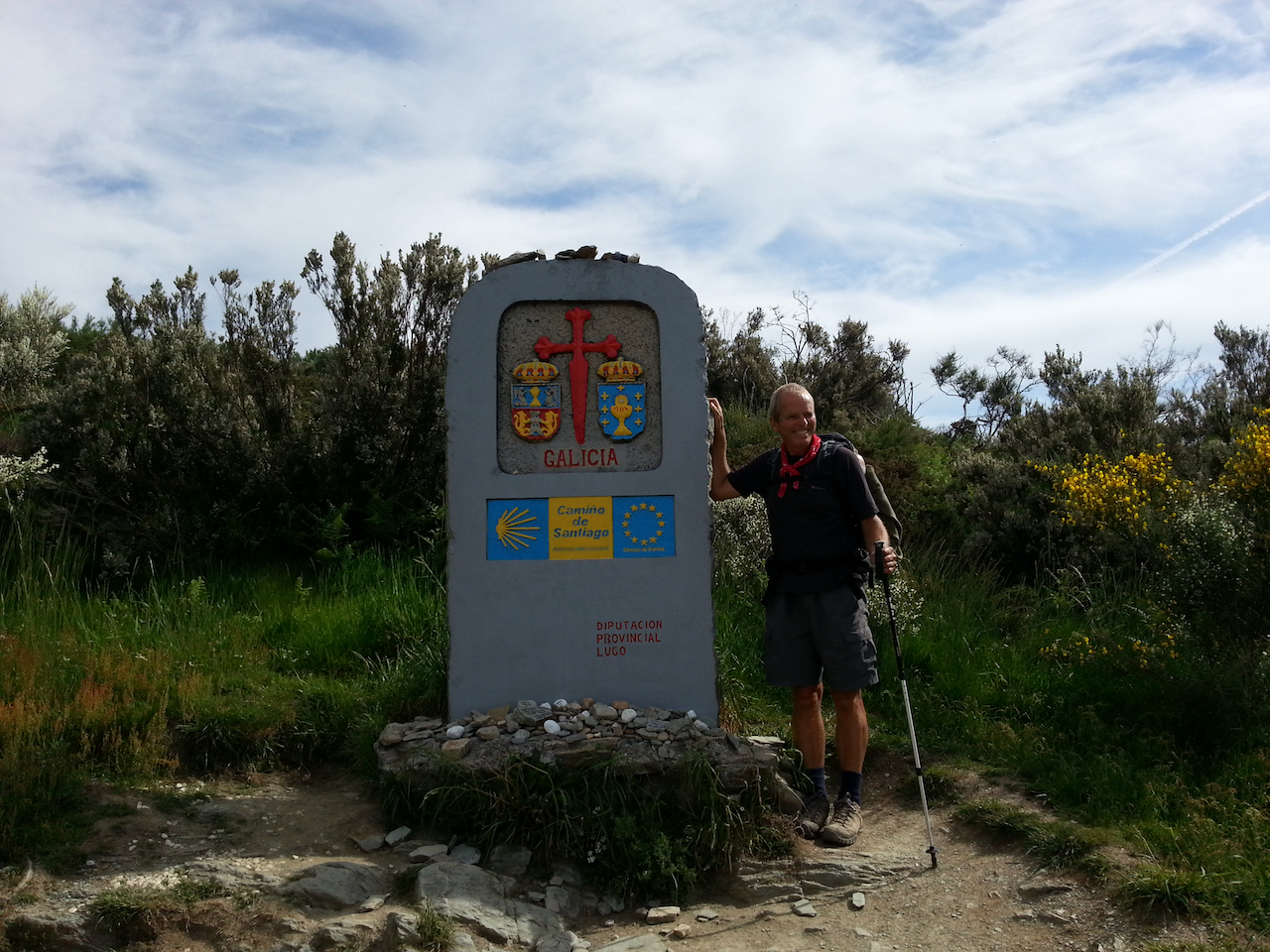
Strangely I think these last few days are probably the hardest of the entire Camino even though the walking itself isn’t particularly challenging. It’s the dawning awareness that the end is near that is playing with my mind a bit and at one level makes me want to just get it over and done with. But that sense is offset by the desire to continue to live in the present and experience each day as it comes. I plan to be in Santiago de Compostela four days hence i.e. Thursday 16 June (86 km to go).

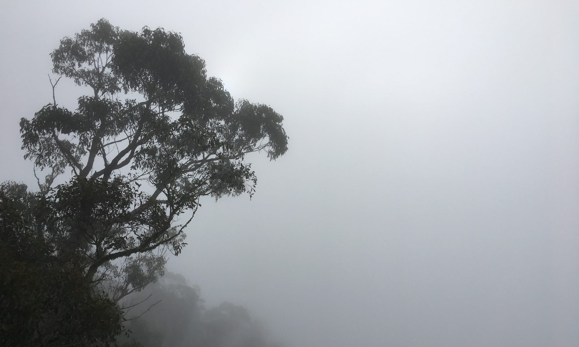
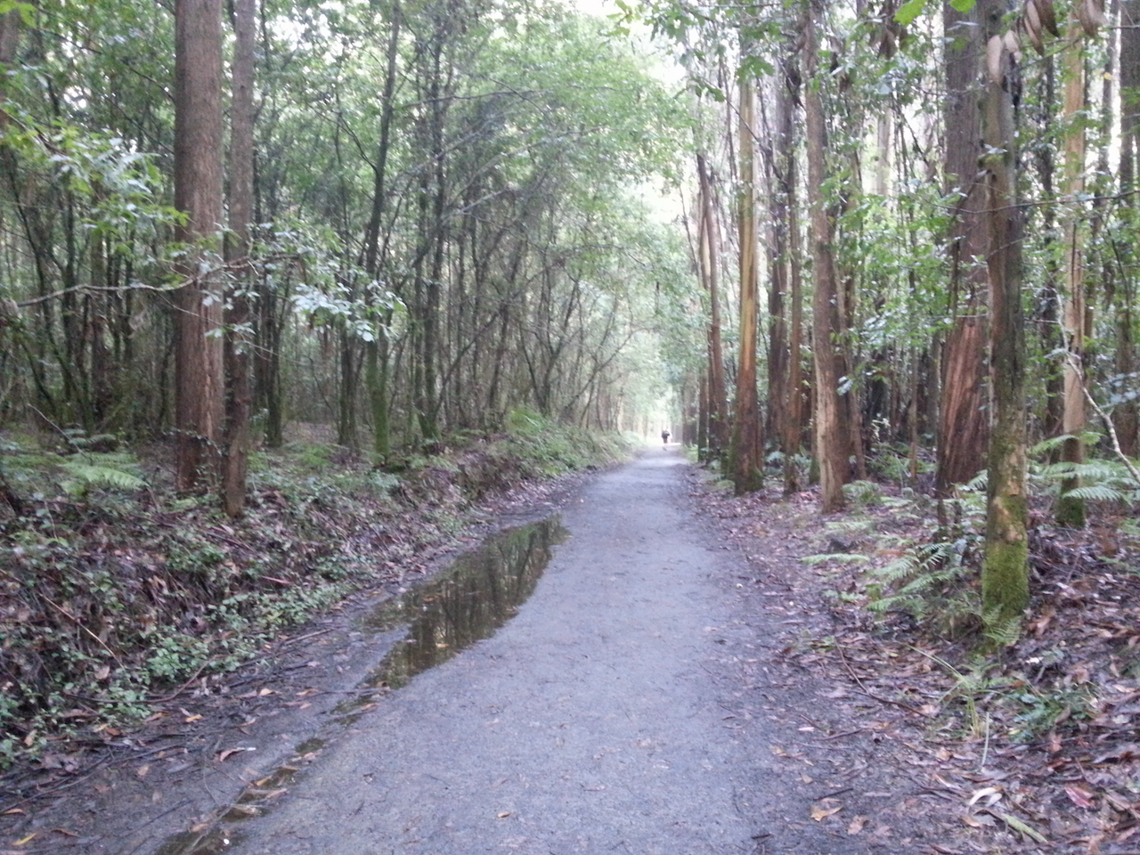
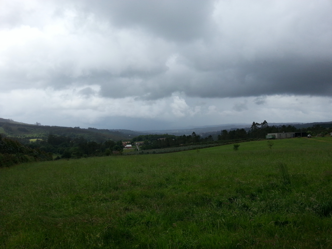
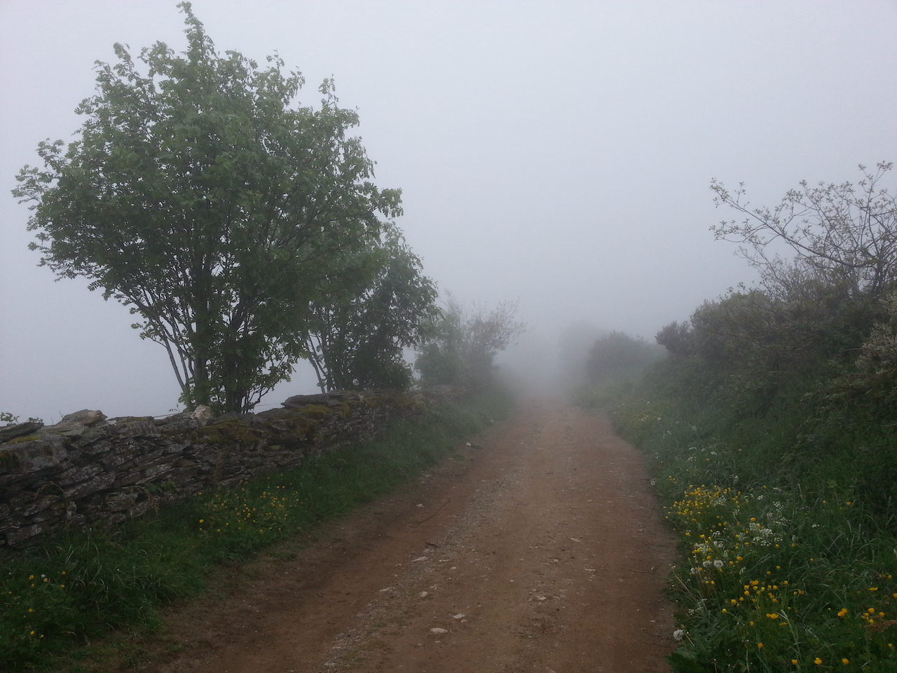
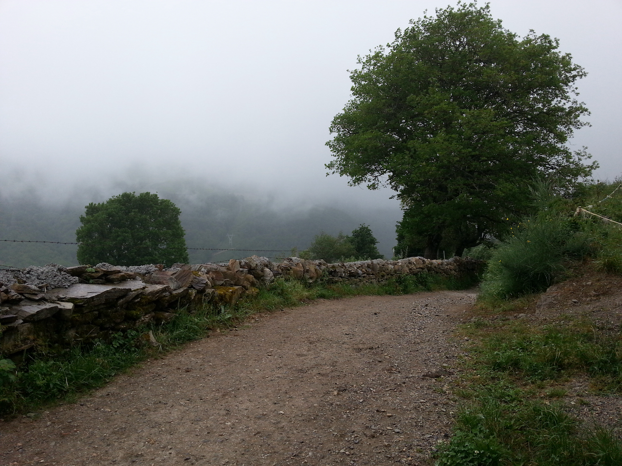
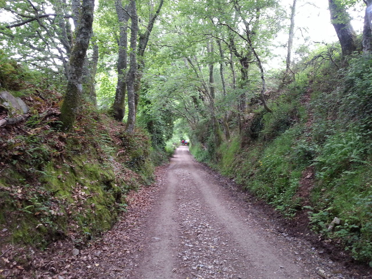
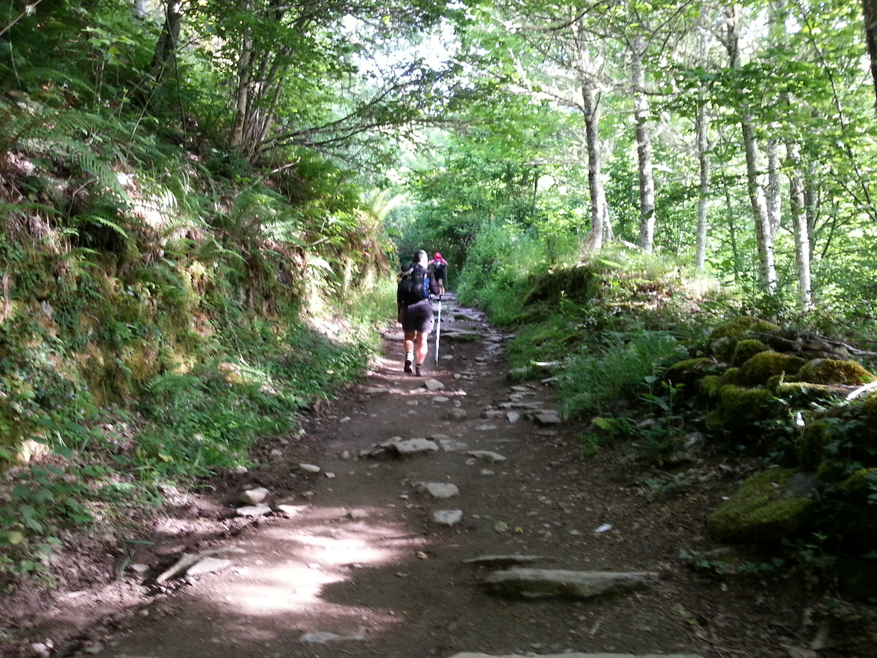
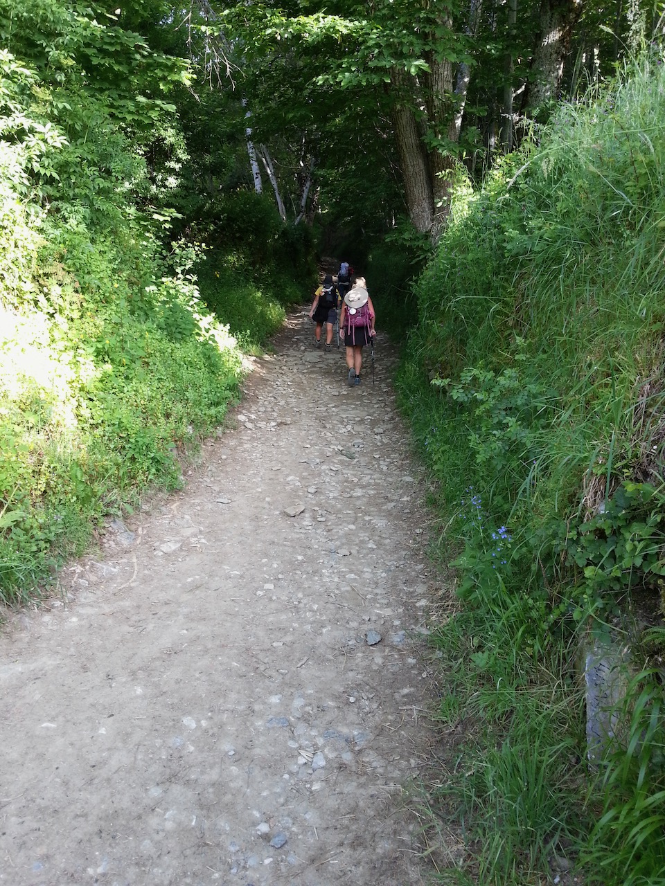
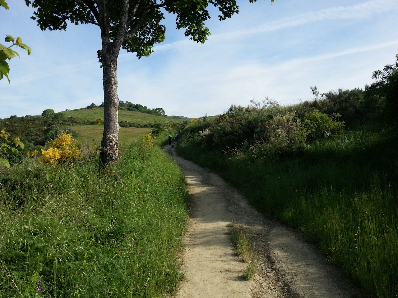
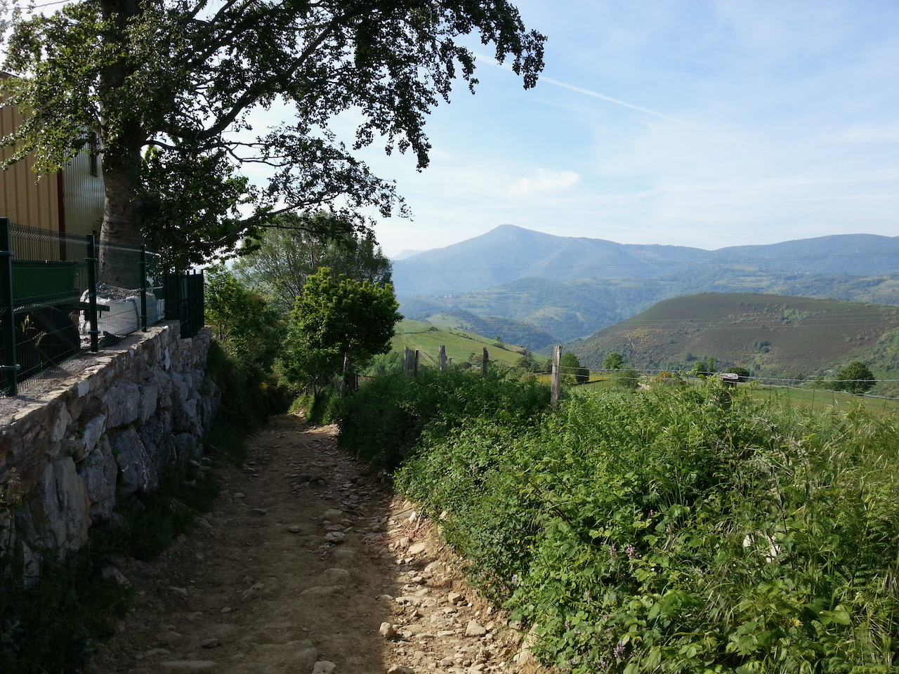
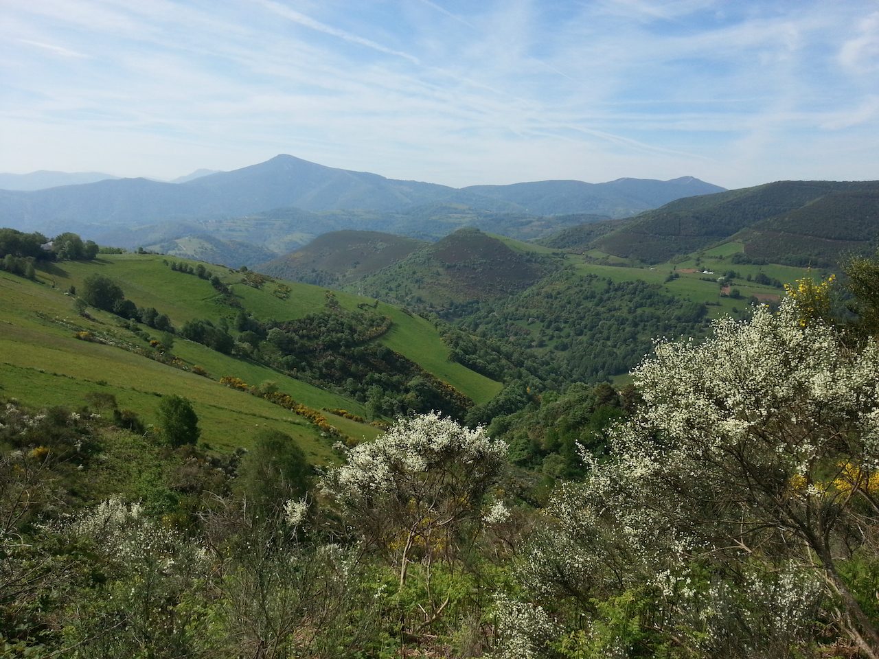
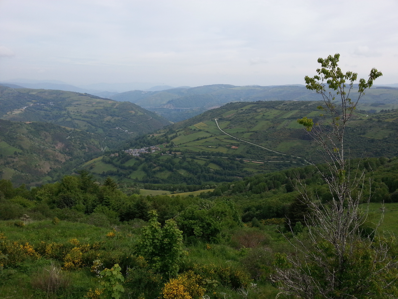
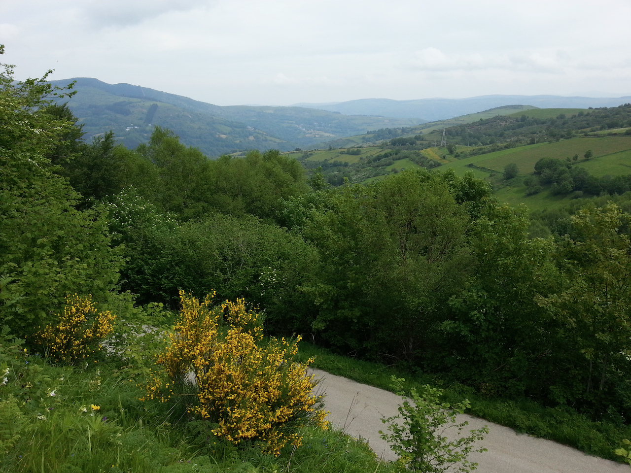
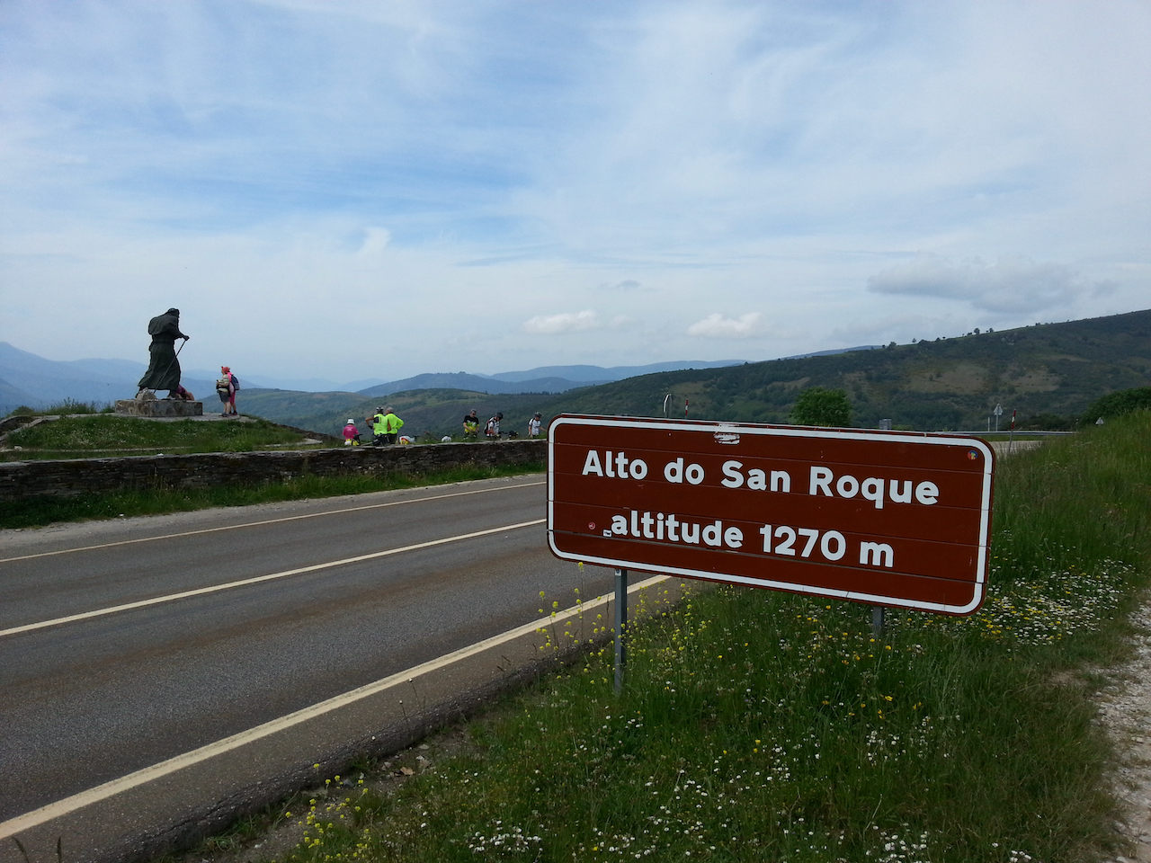
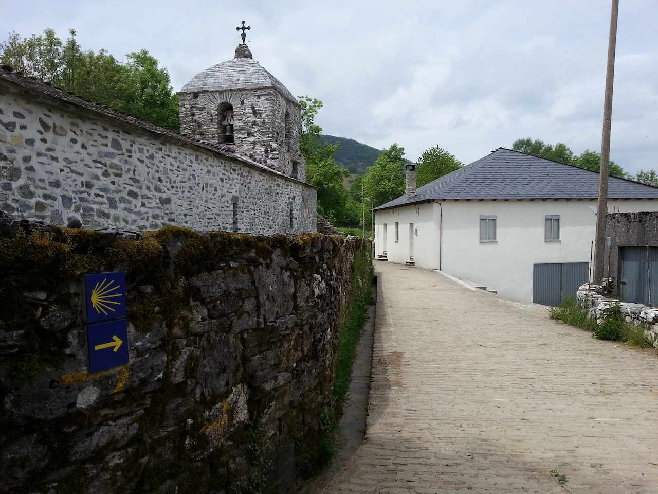
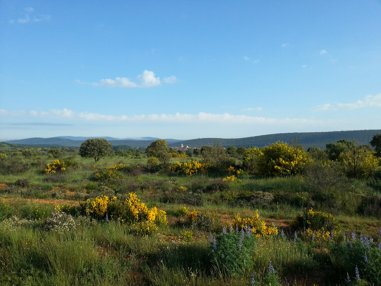
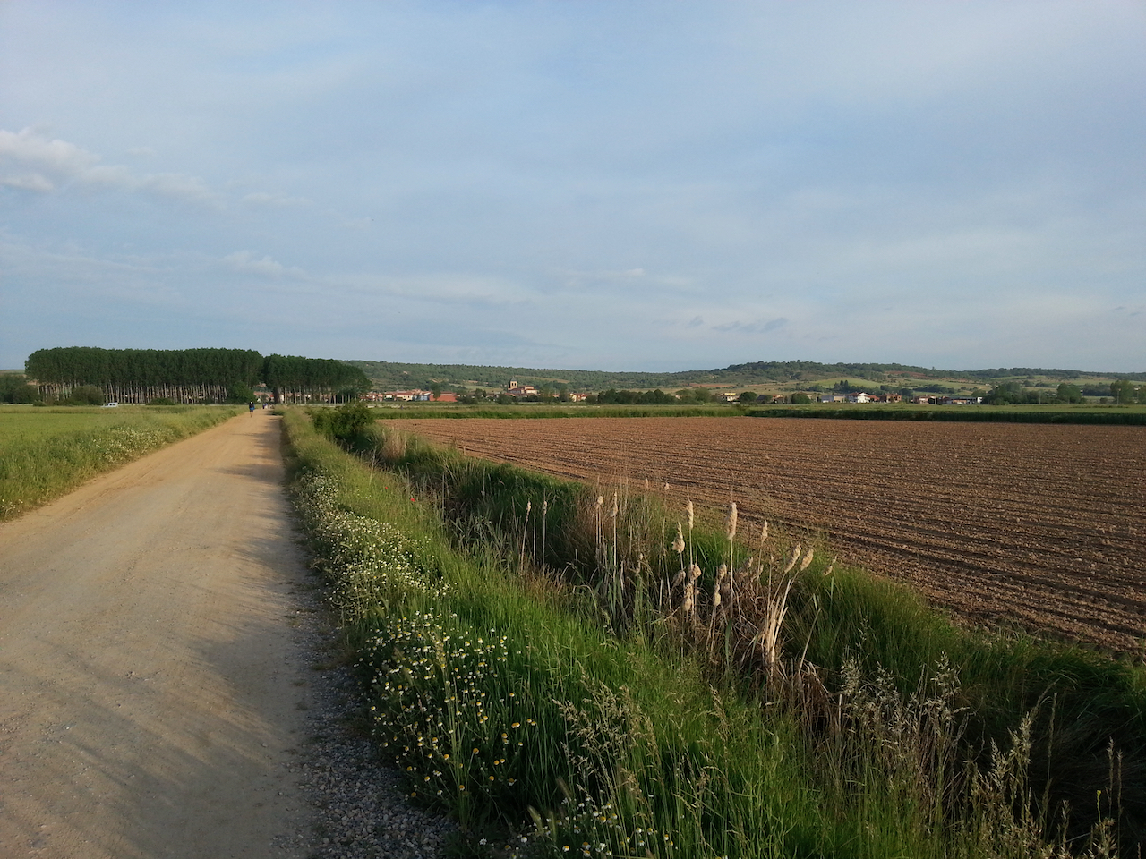
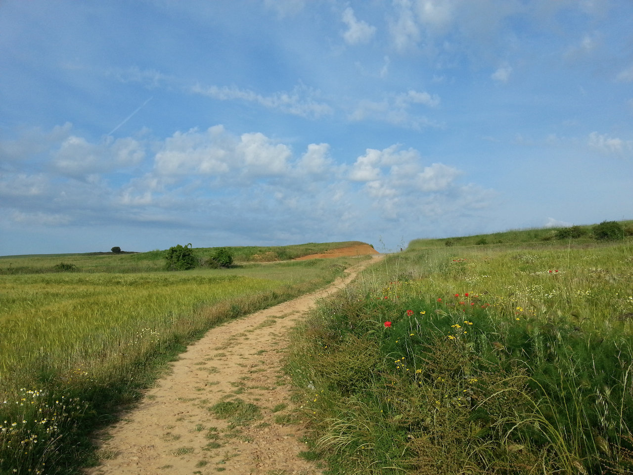
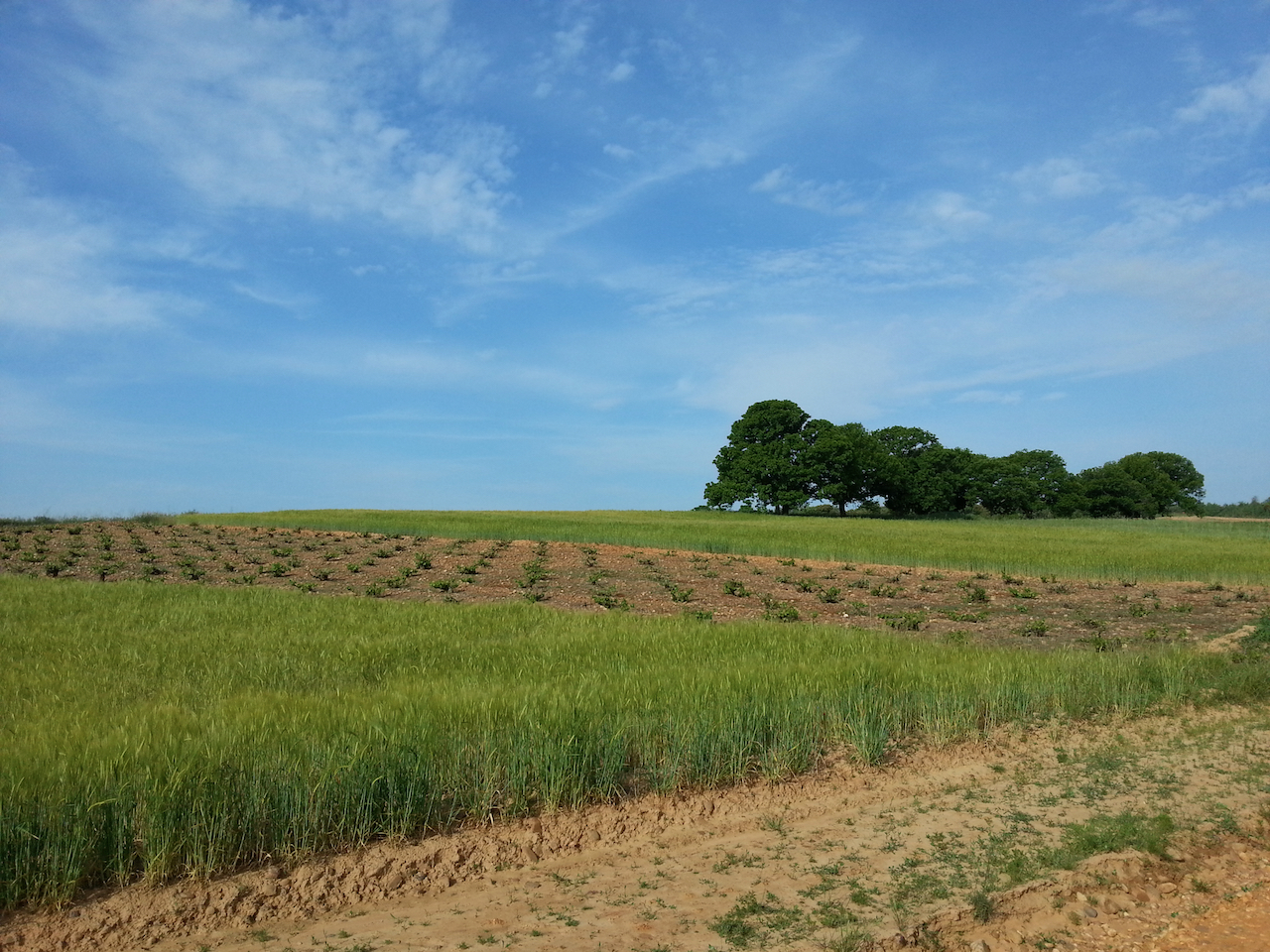
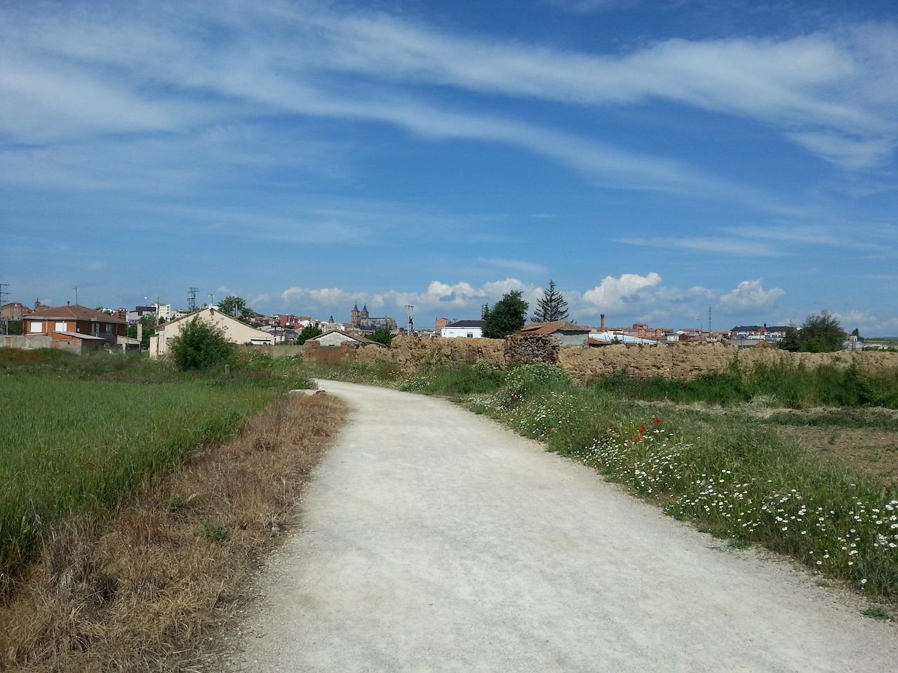
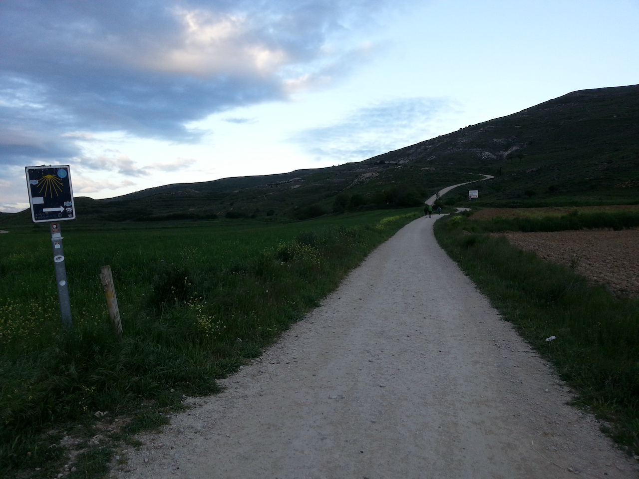
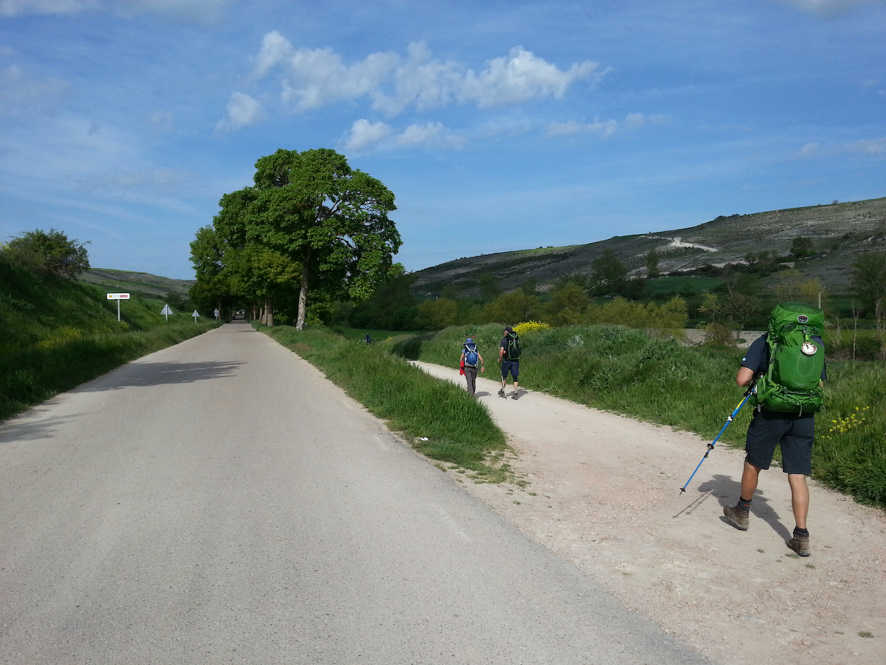
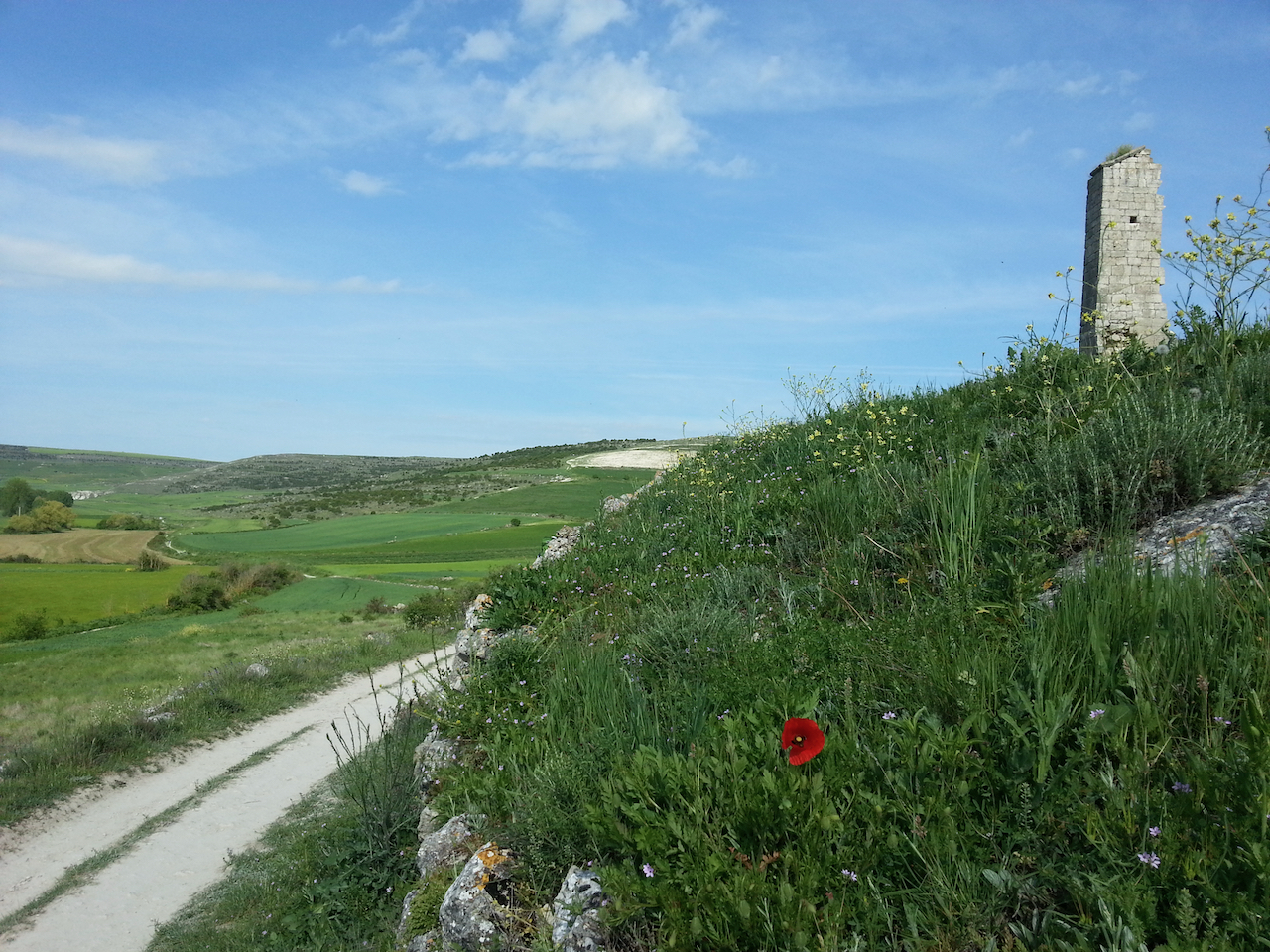
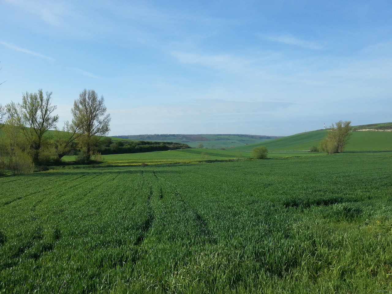
There’s a lot more up and down in Galicia than earlier in the Camino. Sure there were the Pyrenees to cross at the beginning, but once over them it was essentially down ever-widening valleys to Burgos and there weren’t many hills at all across the Meseta. The Galician hills aren’t particularly big, but the country rolls and undulates and the Camino follows many of the contours. It makes for interesting and varied walking … and a good workout over the 21-23 km of a typical day.

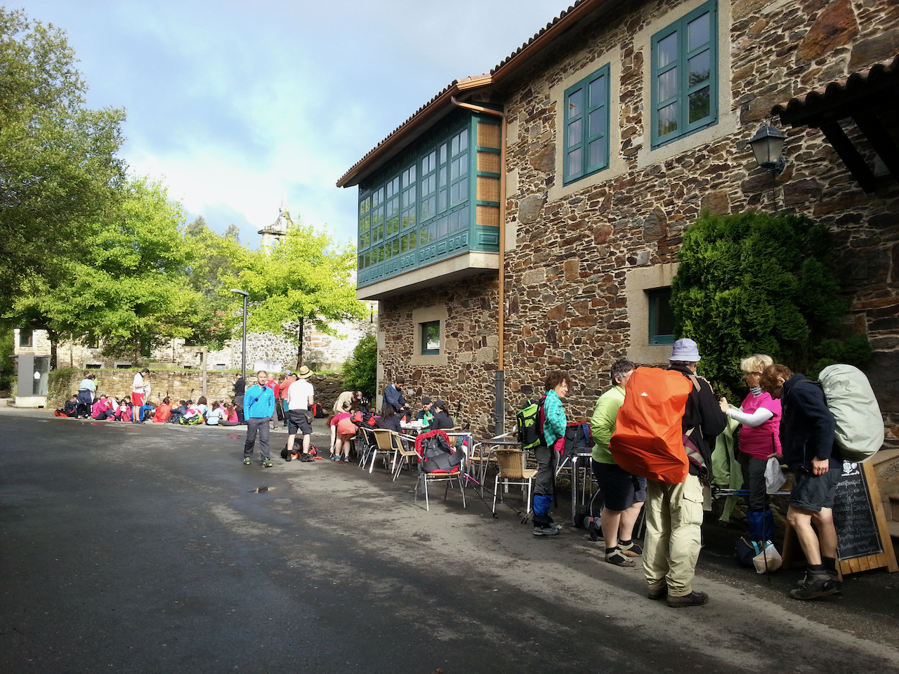
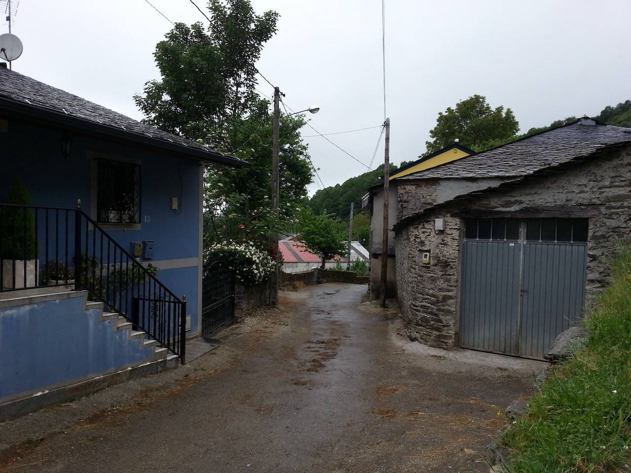
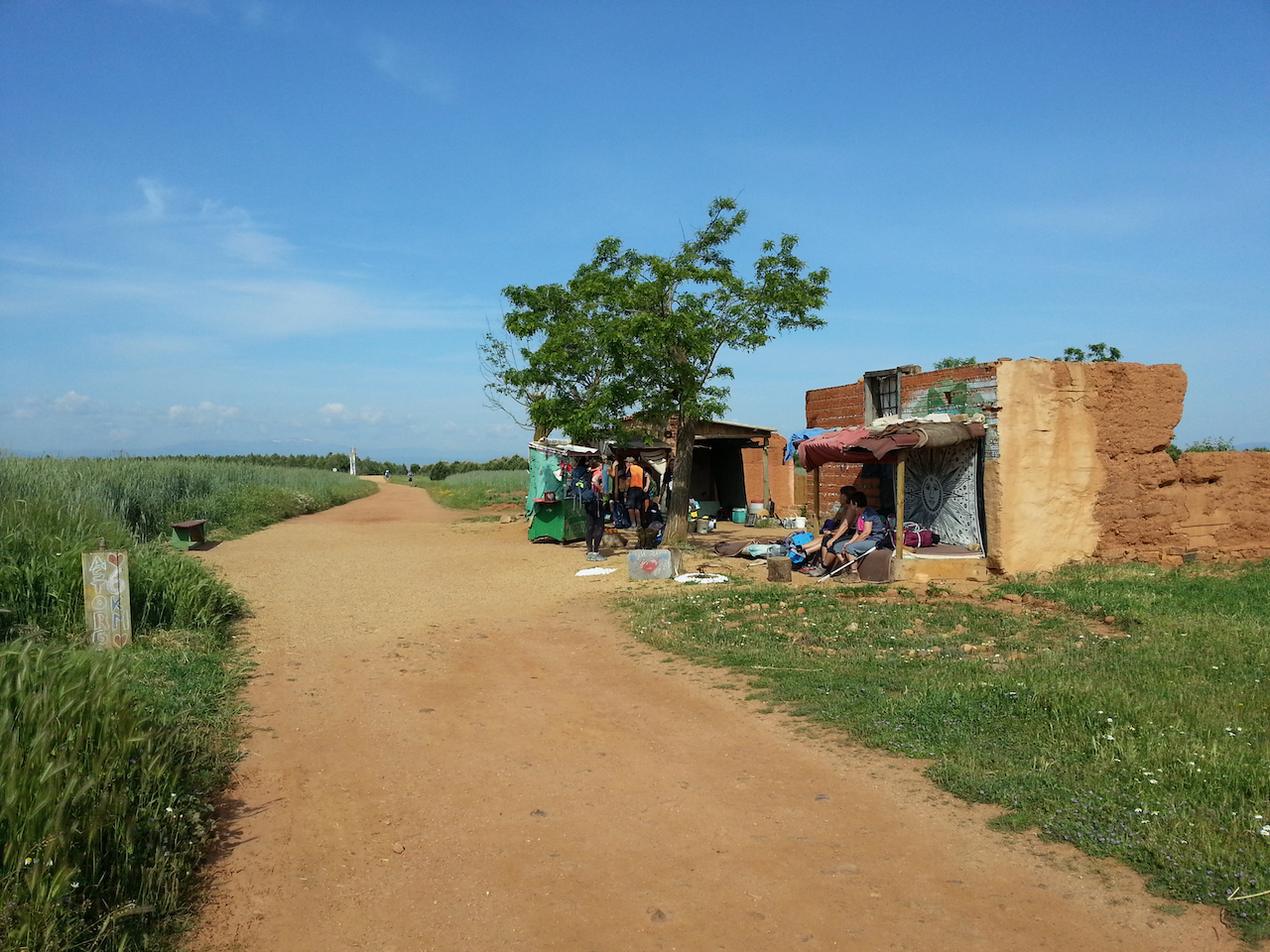
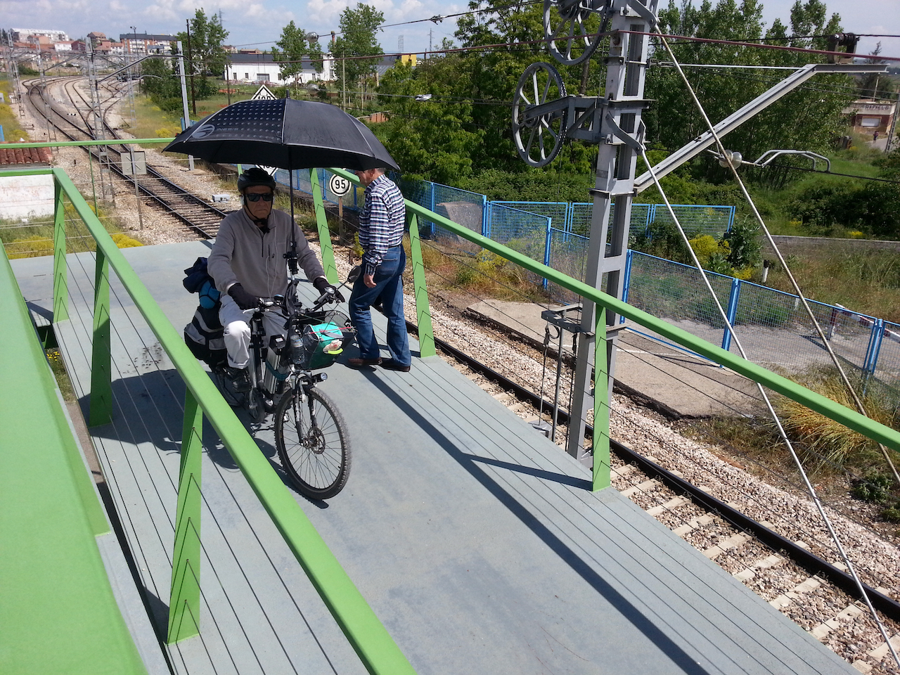
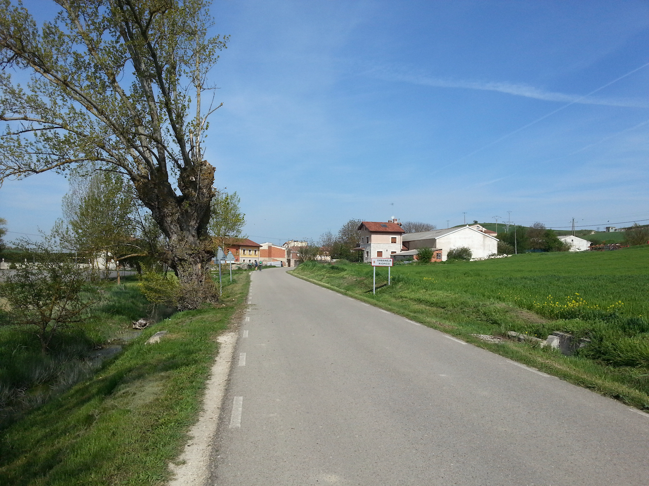
I haven’t yet come across the hordes of bus- and taxi-borne pilgrims I had, from reports, half expected from Sarria on. I’m sure there are increased numbers, but I’m starting and finishing each day at villages that are not part of the ‘standard’ John Brierley daily schedule and that makes a difference. Today I encountered very few people, with many stretches where I was the only one around.

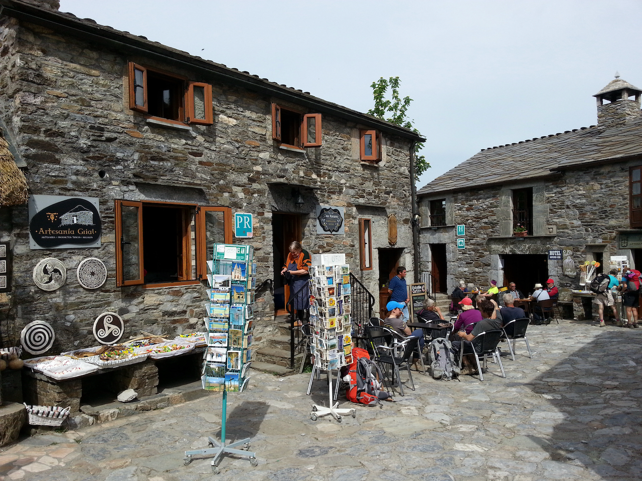
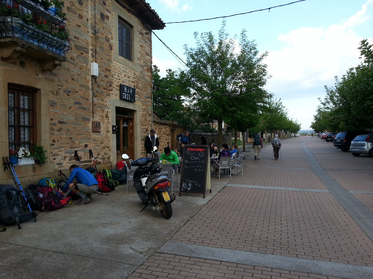
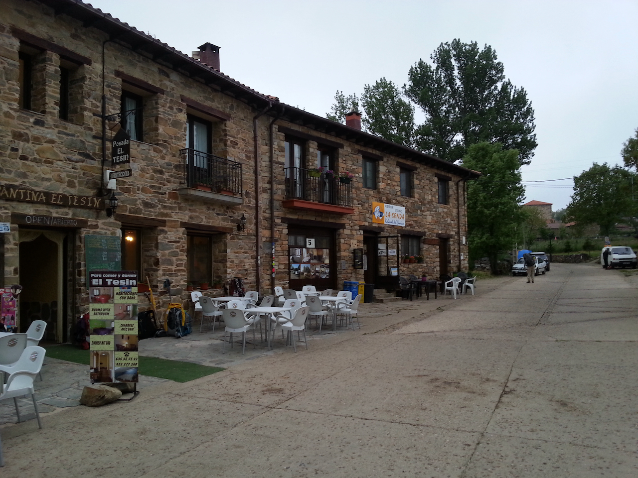
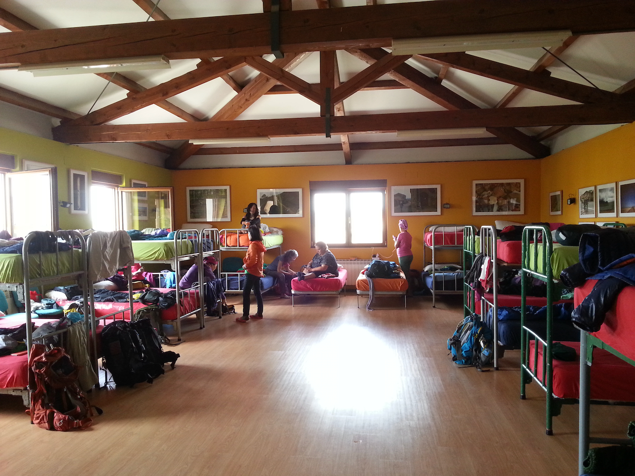
It’s easy to spot the peregrinos amongst everyone else in town at the end of the day. They’re the ones hobbling, walking stiffly or with an unusual gait, with tape on toes, heels and shins, etc. The walking wounded!

Alto do Poio to Samos

23.4 km and 5:3 (see map).

Heading off from the rather rustic albergue at Alto do Poio. The mountain top was enveloped in low cloud, but it wasn’t particularly cold.

The Camino followed the road for a short distance then cut off onto cross country tracks through small hamlets and villages.

The Camino way markers in Galicia are concrete and apart from having the stylised Camino scallop shell and a direction arrow include a metal plate stamped with the remaining distance to Santiago.

Dodgy selfie, taken after stop for coffee and to shelter from passing shower.

Onward towards Triacastela.

Lots of small hamlets/villages like this. Cattle kept in the buildings, and obviously herded through the lanes at times.

Triacastela nestled down in the valley.

Great walking on these forest paths.

Samos near; the monastery dominant.

And a closer look at the monastery. I’m staying in the parroquial there.

Vega de Valcarce to Alto do Poio

19.5 km and 5:03 (see map).

An easy walk for the first four km through Ruitelán and Las Herrerias, then a climb of around 700 m over the next eight km to O Cebriero (1,330 m). Stunning countryside and views (especially so the higher you went) and great walking along shaded paths on the lower flanks of the mountains. O Cebreiro was an option for a stop for the night, but the weather was good so decided to carry on for another couple of hours to Alto do Poio (1,337 m).

Arriving in Ruitelán, two km into the day’s walk.

On the way out of Las Herrerias after a stop for a coffee and napolitana (a sweet pastry filled with chocolate cream).

The early stages of the track up the hill.

Walked with (L-R) Lisa and Julie (from the USA) and Steph (UK).

More forest path …

… then out into the open, above the treeline.

Looking back along the path.

And the view off to the left.

Out of the Castilla y Leòn region and into Galicia.

Along to O Cebreiro.

And O Cebreiro itself.

Following shots from walk across to Alto do Poio from O Cebreiro, via Linares, Alto de San Roque and Hospital de la Condesa.

Astorga to Rabanal del Camino

19.6 km and 4:37 (see map).

Up more into the hills today. 300 m elevation gain over the 20 km, so a very gentle almost indiscernable climb (Rabanal del Camino at 1,150 m).

First cross of the day …

…and a short distance further on, the first church.

Coffee stop in this village.

Typical scenery in the early stages of the walk

Another village and coffee stop coming up.

Towards Rabanal del Camino.

A scramble up a small hill …

… and we’re there, Rabanal del Camino.

Hospital de Órbigo to Astorga

17.6 km and 4:27 (see map).

First rate walking today, through villages, rolling hills, farmland, trees.

Decorated streets in Hospital de Órbiga, in readiness for jousting festival on the weekend.

Heading out into the countryside … and for the distant hills.

Found a friend at the first village. Conversation not up to Tim and David’s standards, but equally as friendly.

Up the first hill, maybe the first since leaving Burgos and crossing the Meseta.

Down the other side.

And up again.

Pilgrim memorial along the way.

Crossed a plateau once the (shortish) climb was done.

Enterprising soul running a massage, fruit juice and open-air refuge not far from the start of the descent to Astorga.

A cross – Cruceiro Santo Toribio – where some leave a stone that represents their worries and that they’ve carried with them since the start of your Camino. I heard a cyclist remark to his wife, who was struggling up the hill behind him, that he should leave her there.

Astorga, about 4 km away.

And a little closer.

This fellow doing the Camino on an electric bike, with a large umbrella deployed as a parasol.

Castrojeriz to Frómista

25.6 km and 5:11 (see map).

Start of the day at one of the churches in Castrojeriz.

On the way out of Castrojeriz.

A hill to climb. Alto de Mostelares – 910 m; 20 minutes to get up (Castrojeriz is at 808 m.)

At the top of Alto de Mostelares. A vendor has just set up her stand so a cup of tea is in order.

And on the other side of the hill … the Camino stretches into the distance.

Approaching the church at Itero del Castillo.

Medieval bridge. Over the Rio Pisuerga.

Modern peregrino. It had been showering for half an hour before this point on the path and there was a cold wind blowing so the heavy duty rain coat was on over layers of tops. Kept me warm enough.

Public art on the way out of Itero de la Vega, where I stopped for a late breakfast. Still haven’t seen any stags.

Further along the road from Itero de la Vega.

The Canal del Pisuerga.

Along the way to Boadilla del Camino.

Leaving Boadilla del Camino.

The last section of today’s walk tracked along by the Canal de Castilla, part of a large irrigation scheme for watering the wheat crops.

The irrigation channel at Frómista. I know everyone will be really interested in this.

Hornillos del Camino to Castrojeriz

20.2 km and 4:02 (see map).

Early in the walk. Long shadows from the sun rising behind us.

Standard scene for the first few hours – green crops, blue skies, cotton-wool clouds.

Further along the meseta.

Wind farms all around. Counted 35 generators in this one (on the skyline).

The path down to Hontanas …

… and morning tea (well, a coffee actually and a fabulous sandwich called a zapatilla – crusty bread, with tomatoes, olive oil and lashings of jamon serrano).

Met up at Hontanas with Tim again and his friend David also from the UK and who joined the Camino at Burgos. Tim at the rear in this shot, David in front with June from Canada who I walked with to Hontanas.

En route to Castrojeriz, from Hontanas.

San Antón.

David from the UK.

David from Australia.

Entering Castrojeriz.

Room at the municipal hostel. €5 for the night. No extra for snorers.

Burgos

0 km. Rest day!

Breakfast. Most food groups represented.

A clear, sunny day. The Rio Arlanzón and the Arco de Santa María.

Lunch with the girls.

(L–R) Mercedes, Sara and Isi. Three generations. Maria (Mercedes’ sister) present in spirit.

Spied Richard Flanagan’s The Narrow Road to the Deep North for sale in a bookshop. Spanish edition. Wouldn’t mind reading it (I enjoyed his Death of a River Guide), but my Spanish isn’t good enough (yet) to tackle a novel.

Local bar with good variety of pinchos.

Agés to Burgos

22 km and 4:24 (see map).

A foggy start, but the sun was out within the hour and it cleared to a beautiful day. Nice walking to the outskirts of Burgos, a bit of a slog through the outer suburbs and then back into interesting areas as the old city neared. Quite elated to be here. And looking forward to a rest day tomorrow and catching up with Maria and Manuel’s family.

First stop of the day, for coffee. 10 m from my albergue.

Didn’t see any bounding beasts …

… but there was a flock of sheep a little further along the path (only the second I’ve seen so far – the other was being driven towards Santo Domingo de la Calzada by a shepherd with dogs).

Loud explosions from the military area off to the right not long after I passed this point.

Over the top and down towards Burgos, which is somewhere on the horizon.

Getting close to outer limits of Burgos now.

The road skirted Burgos airport …

… and then I was at the outer edge of the city.

A long walk through the outer suburbs.

Later …

Domestic chores before dinner.

I’ll post some photos of the old town tomorrow.