19.5 km and 5:03 (see map).
An easy walk for the first four km through Ruitelán and Las Herrerias, then a climb of around 700 m over the next eight km to O Cebriero (1,330 m). Stunning countryside and views (especially so the higher you went) and great walking along shaded paths on the lower flanks of the mountains. O Cebreiro was an option for a stop for the night, but the weather was good so decided to carry on for another couple of hours to Alto do Poio (1,337 m).
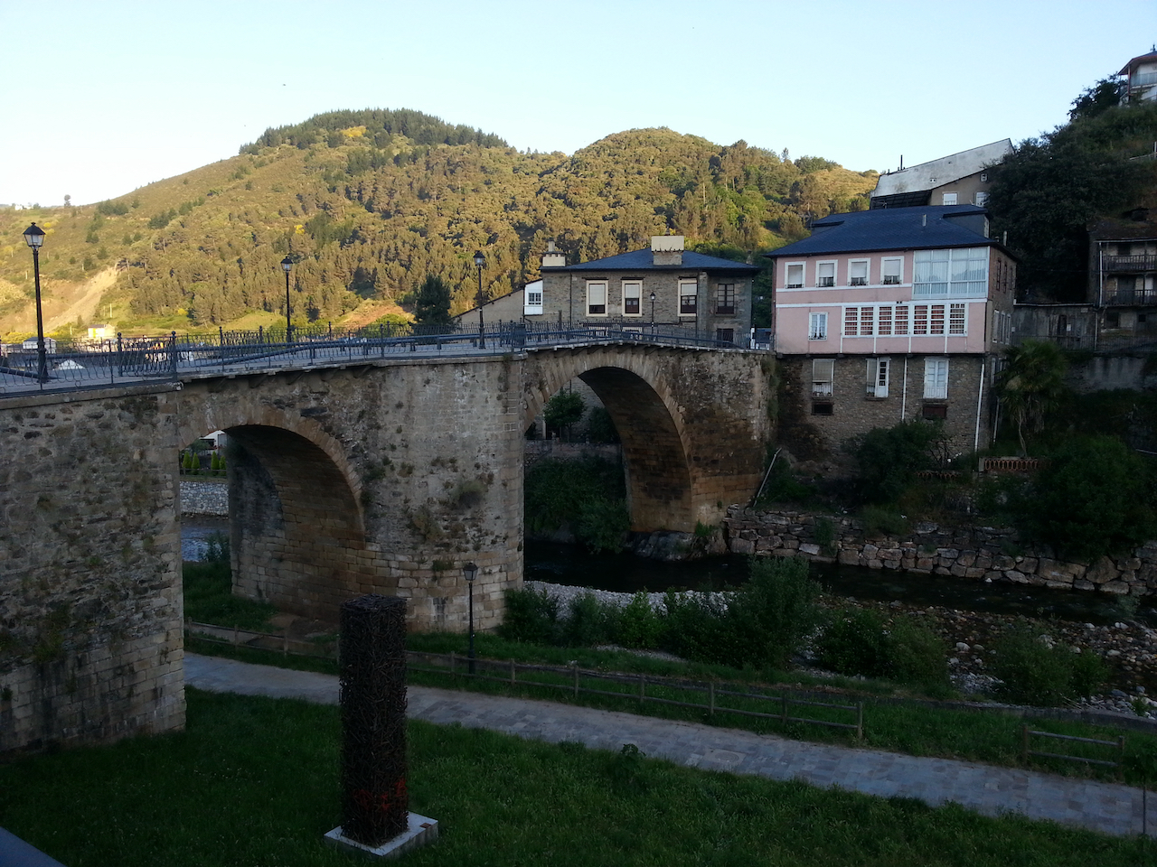
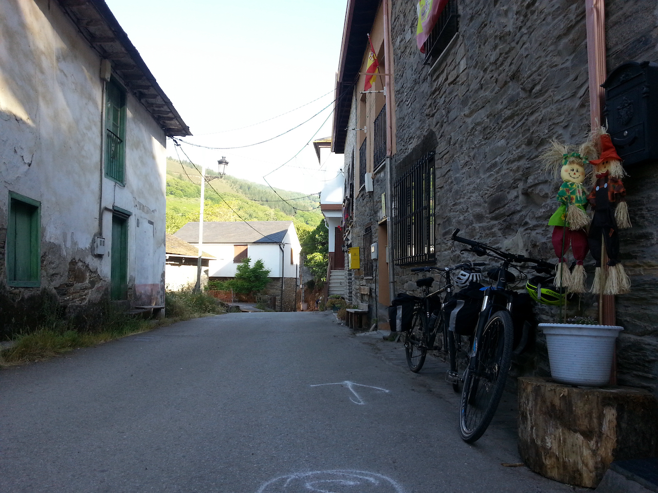
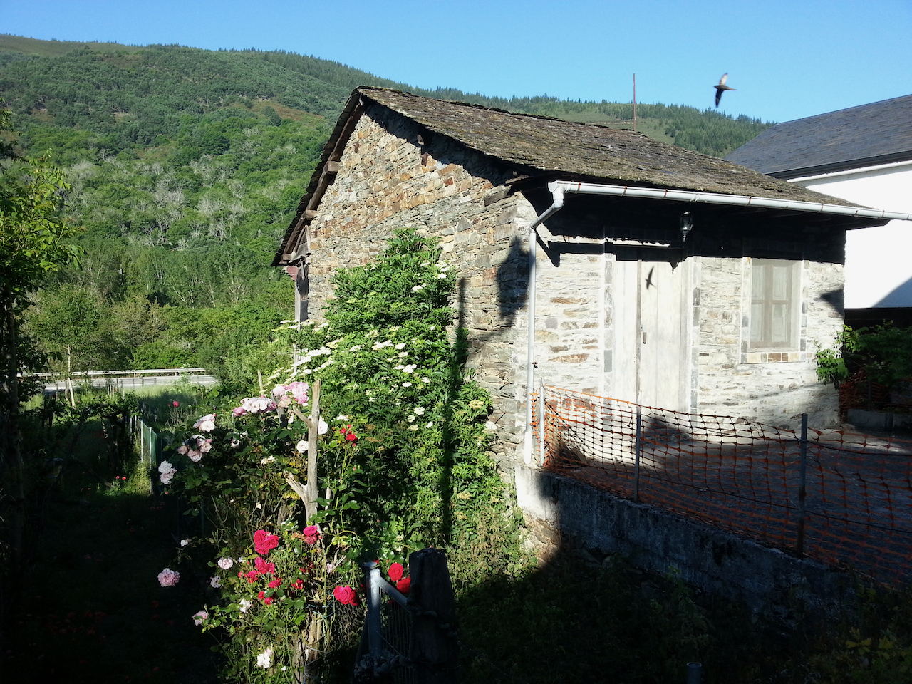
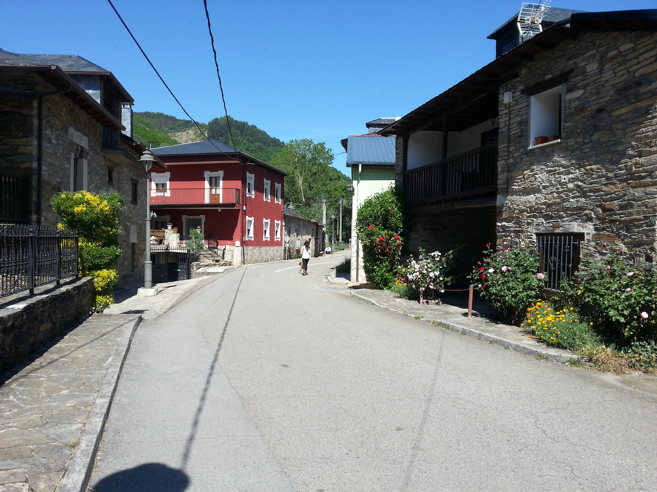
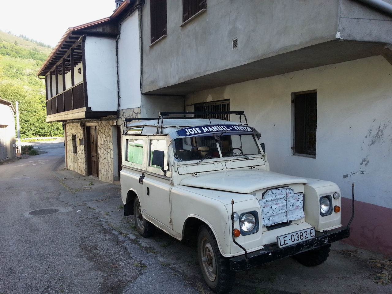
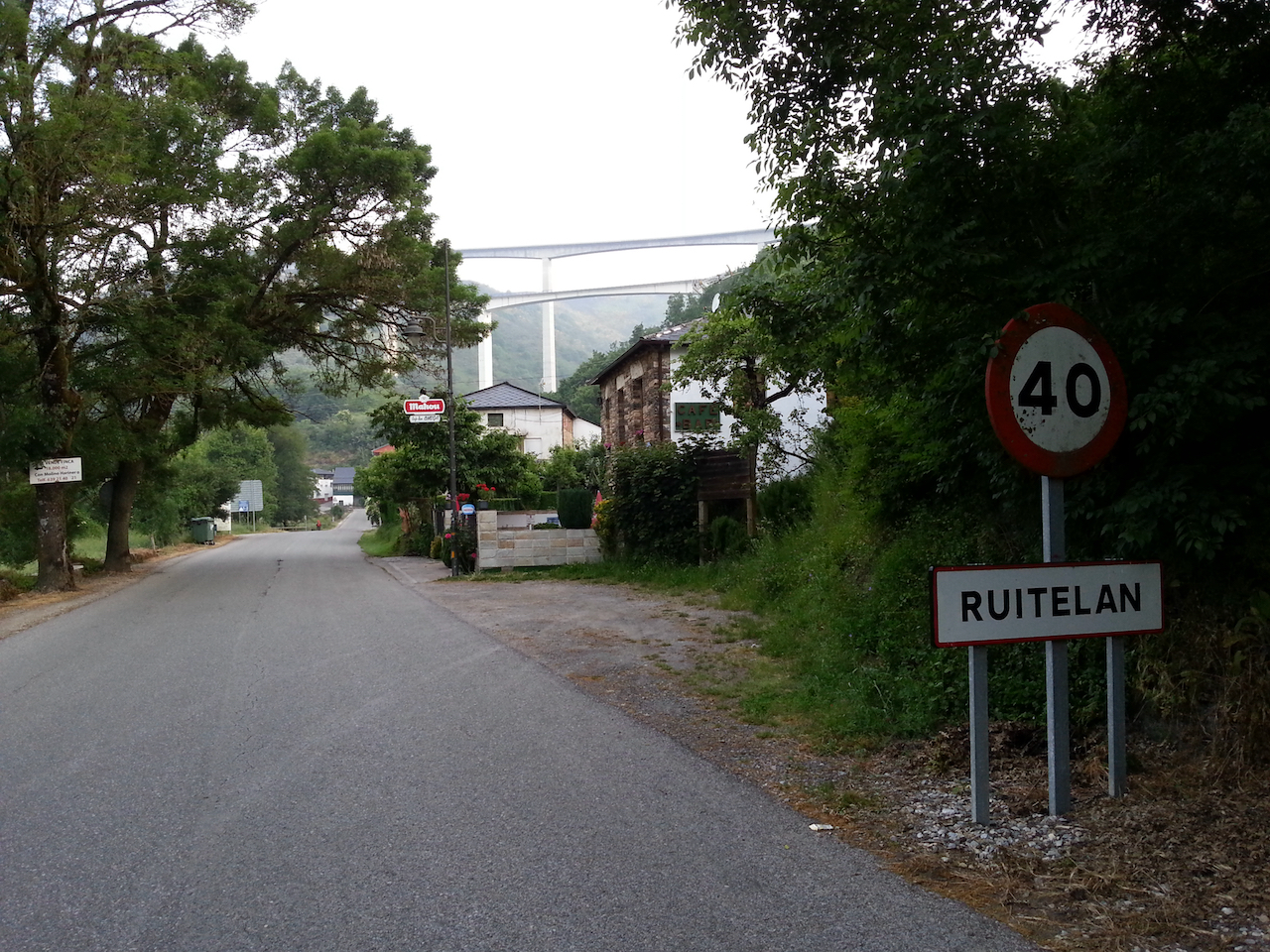
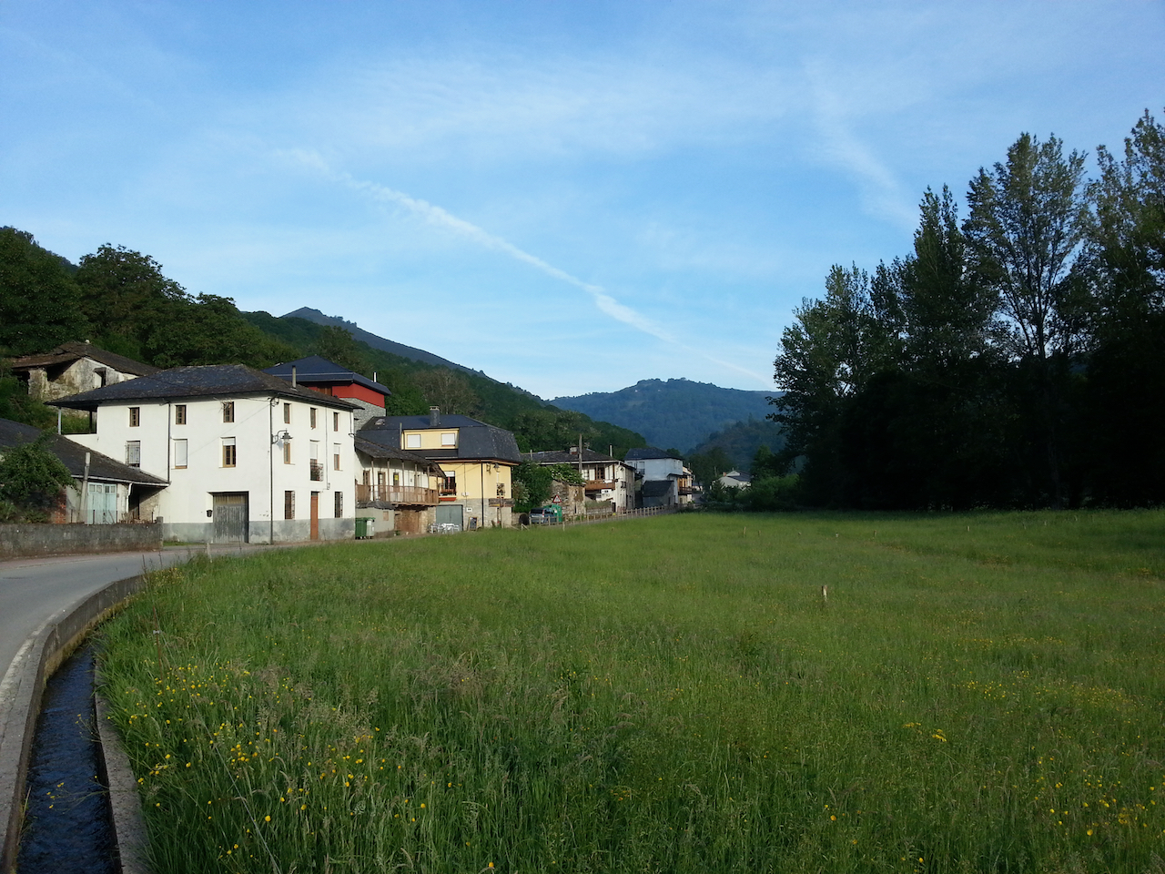
Arriving in Ruitelán, two km into the day’s walk.
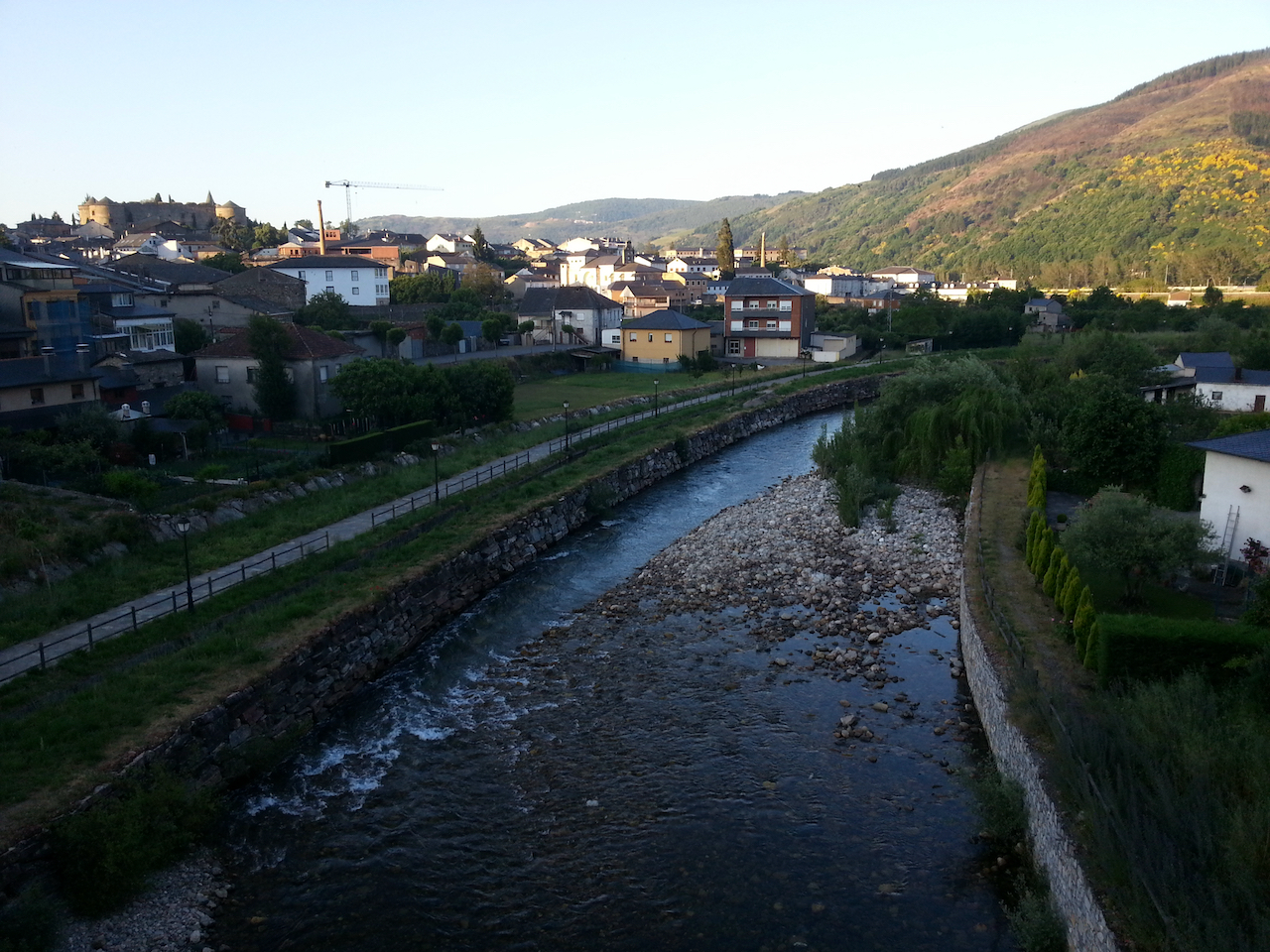
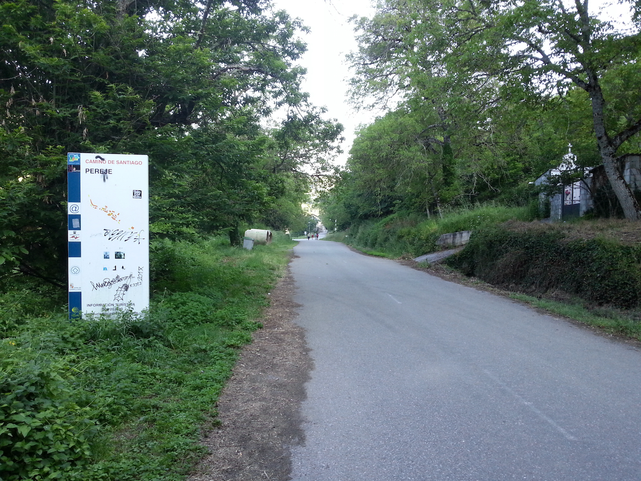
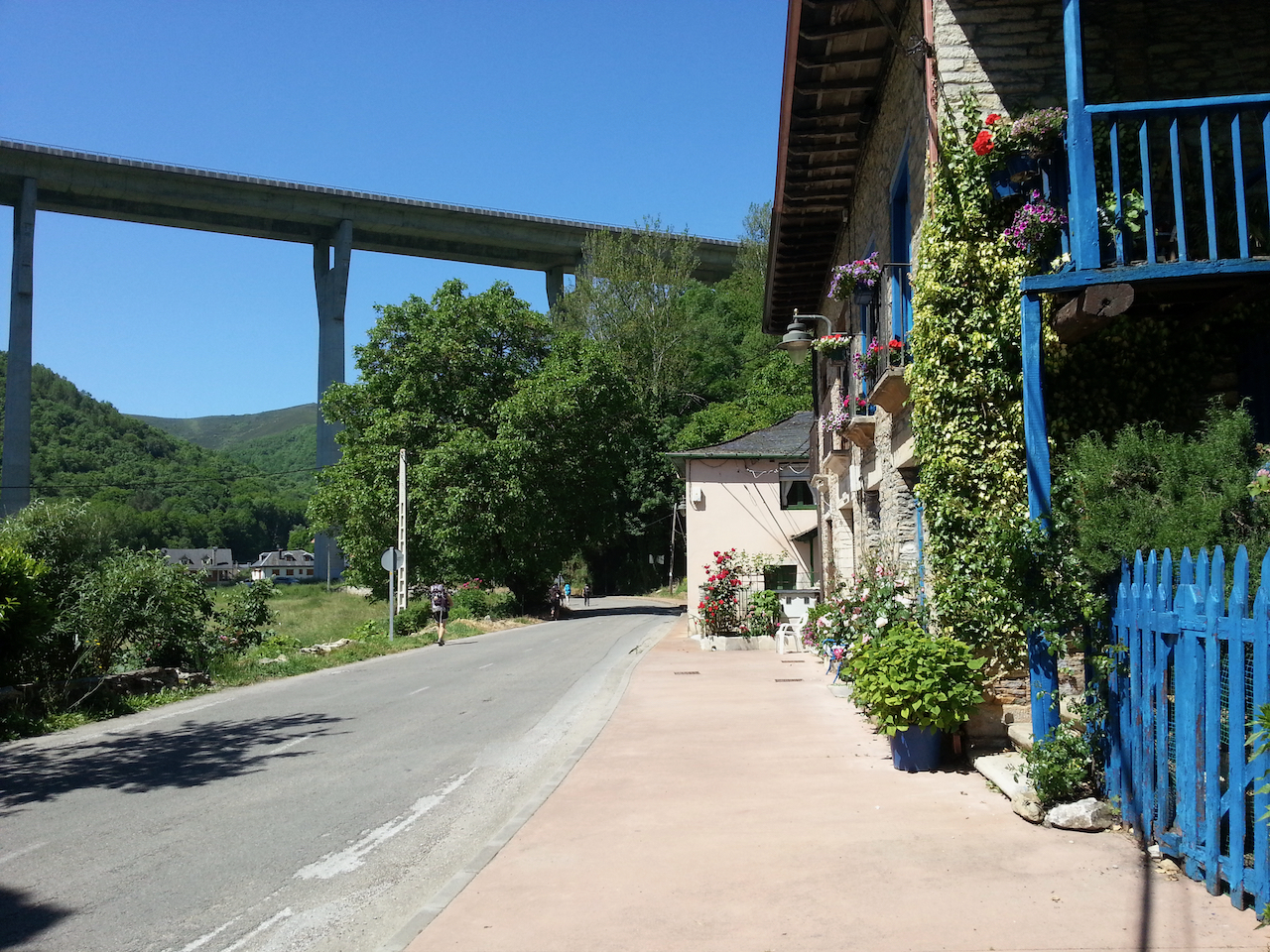
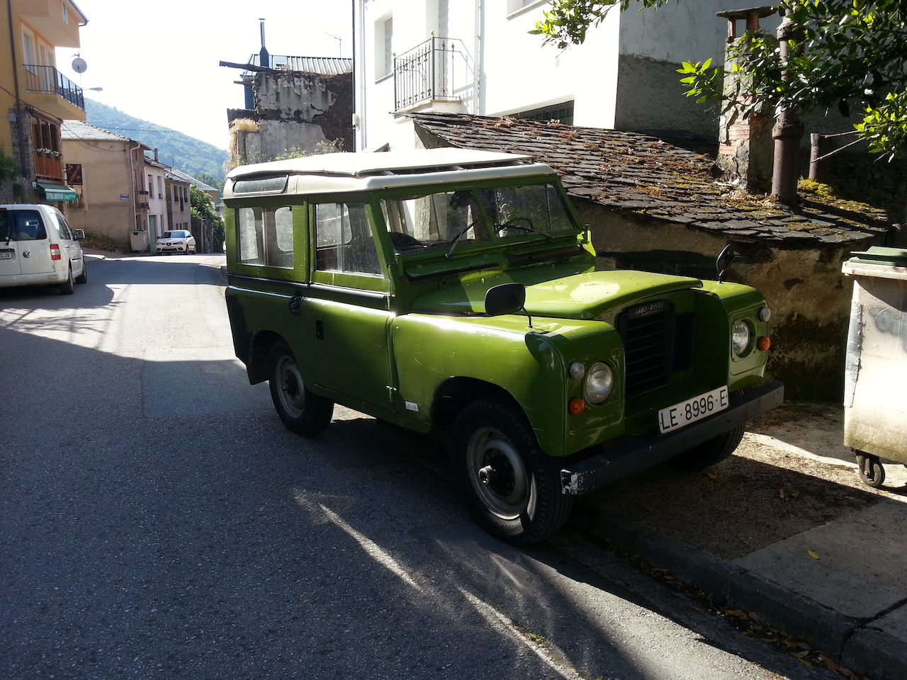
On the way out of Las Herrerias after a stop for a coffee and napolitana (a sweet pastry filled with chocolate cream).
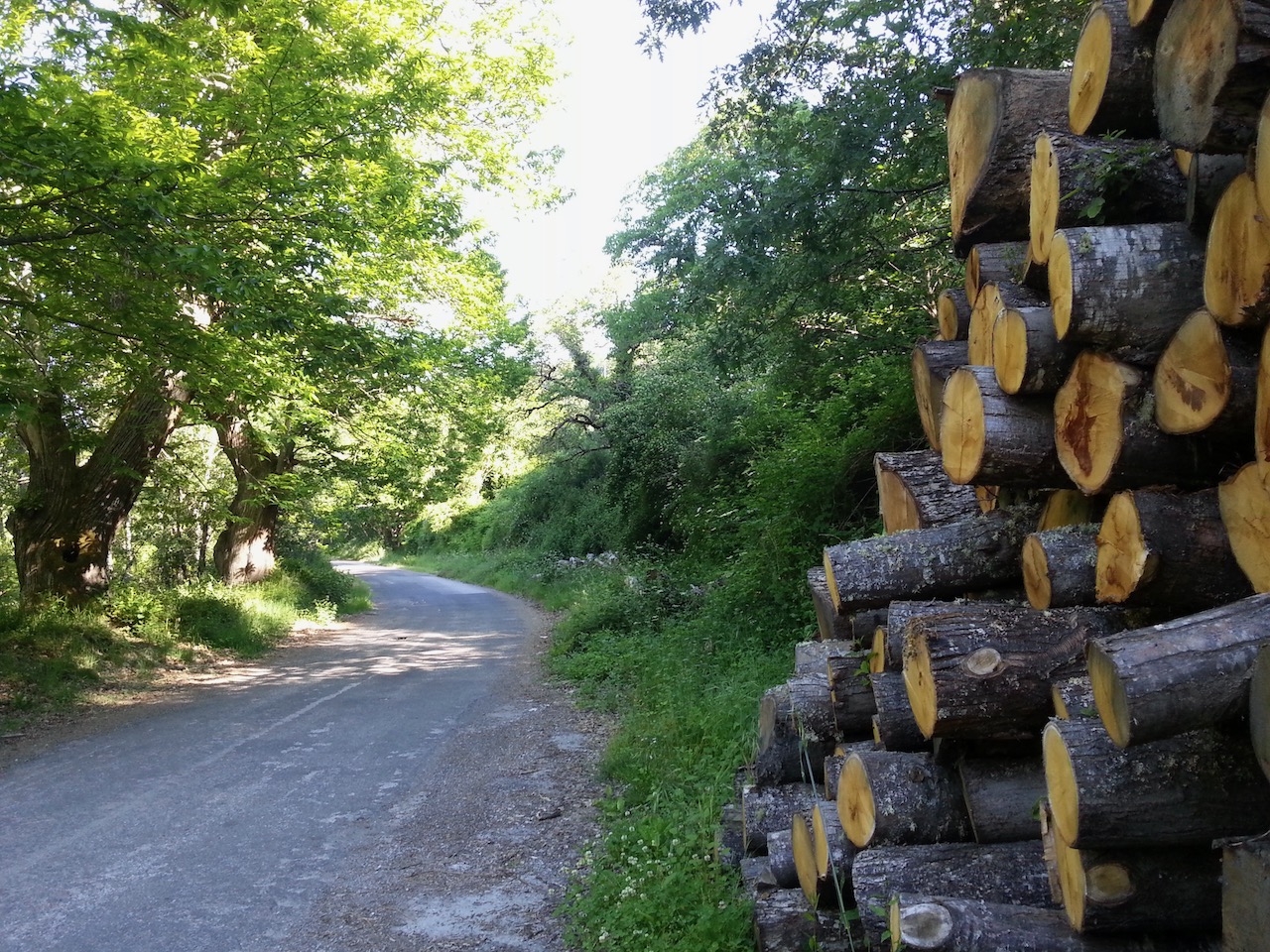
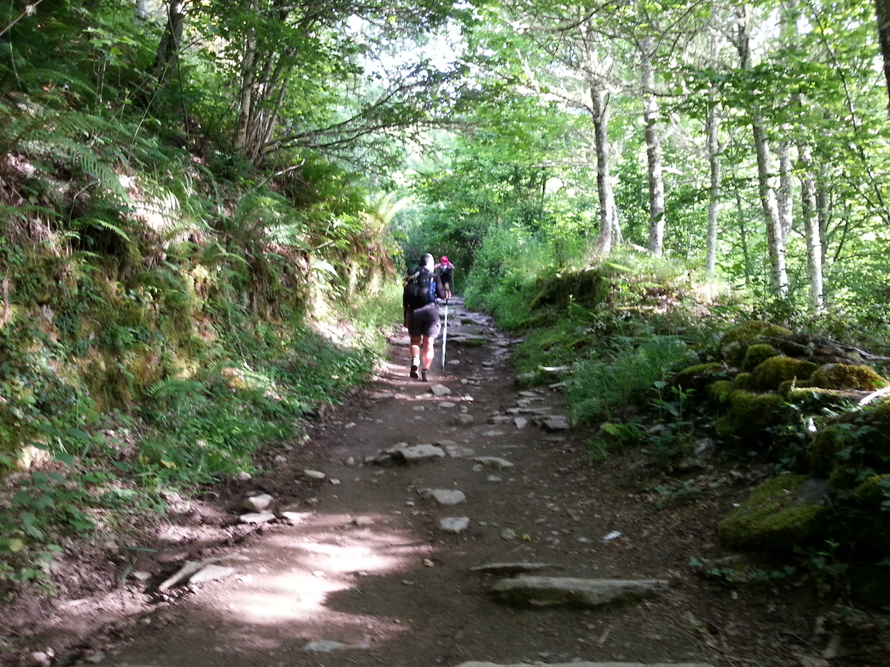
The early stages of the track up the hill.
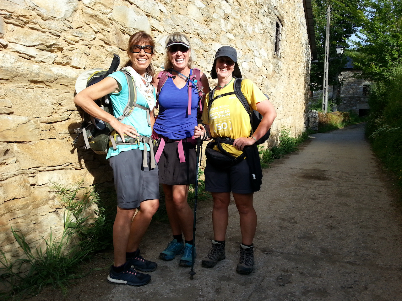
Walked with (L-R) Lisa and Julie (from the USA) and Steph (UK).
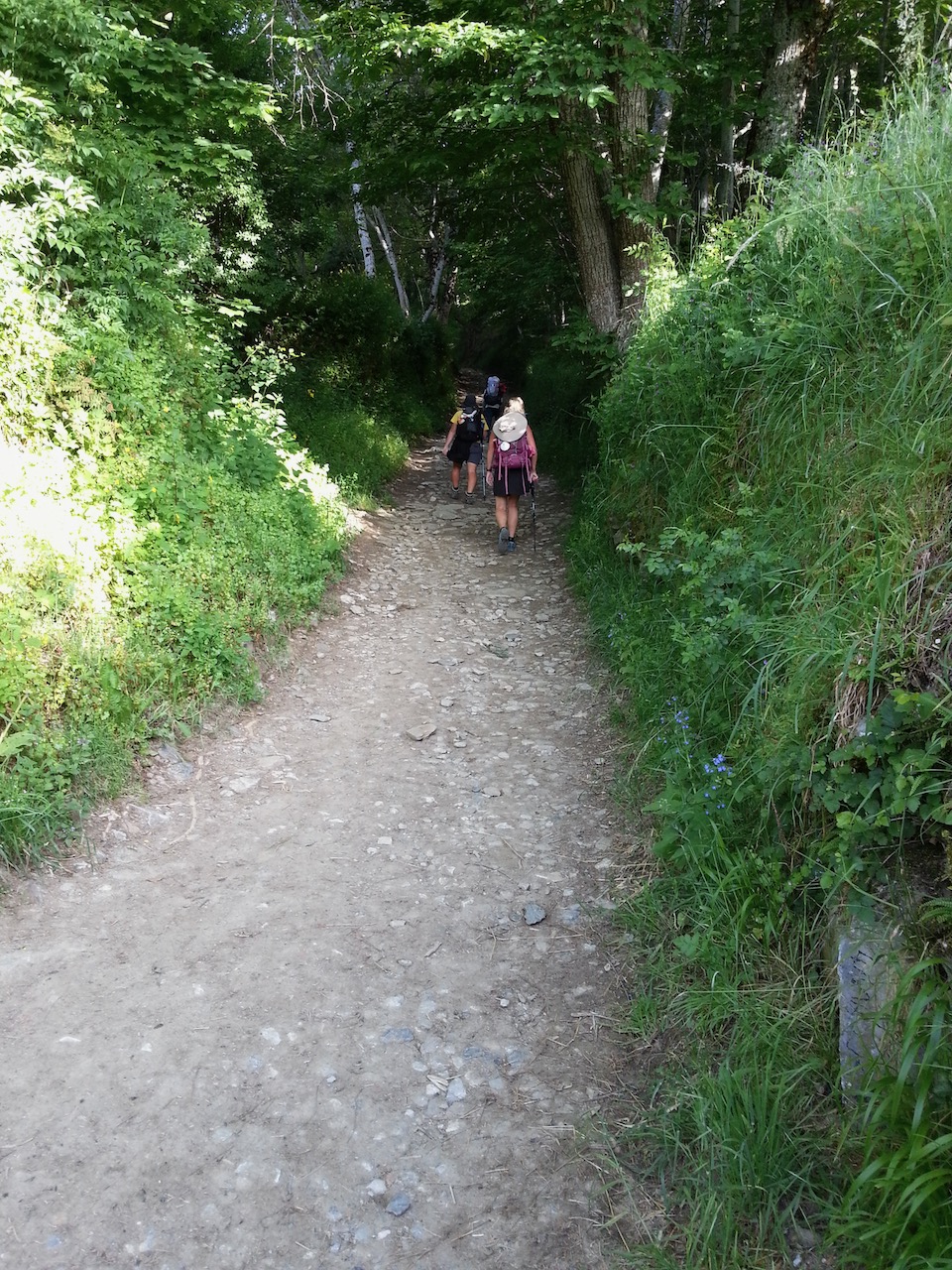
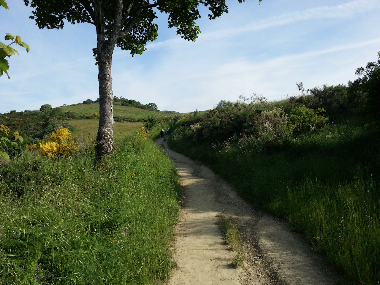
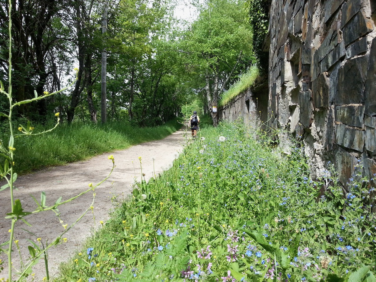
More forest path …
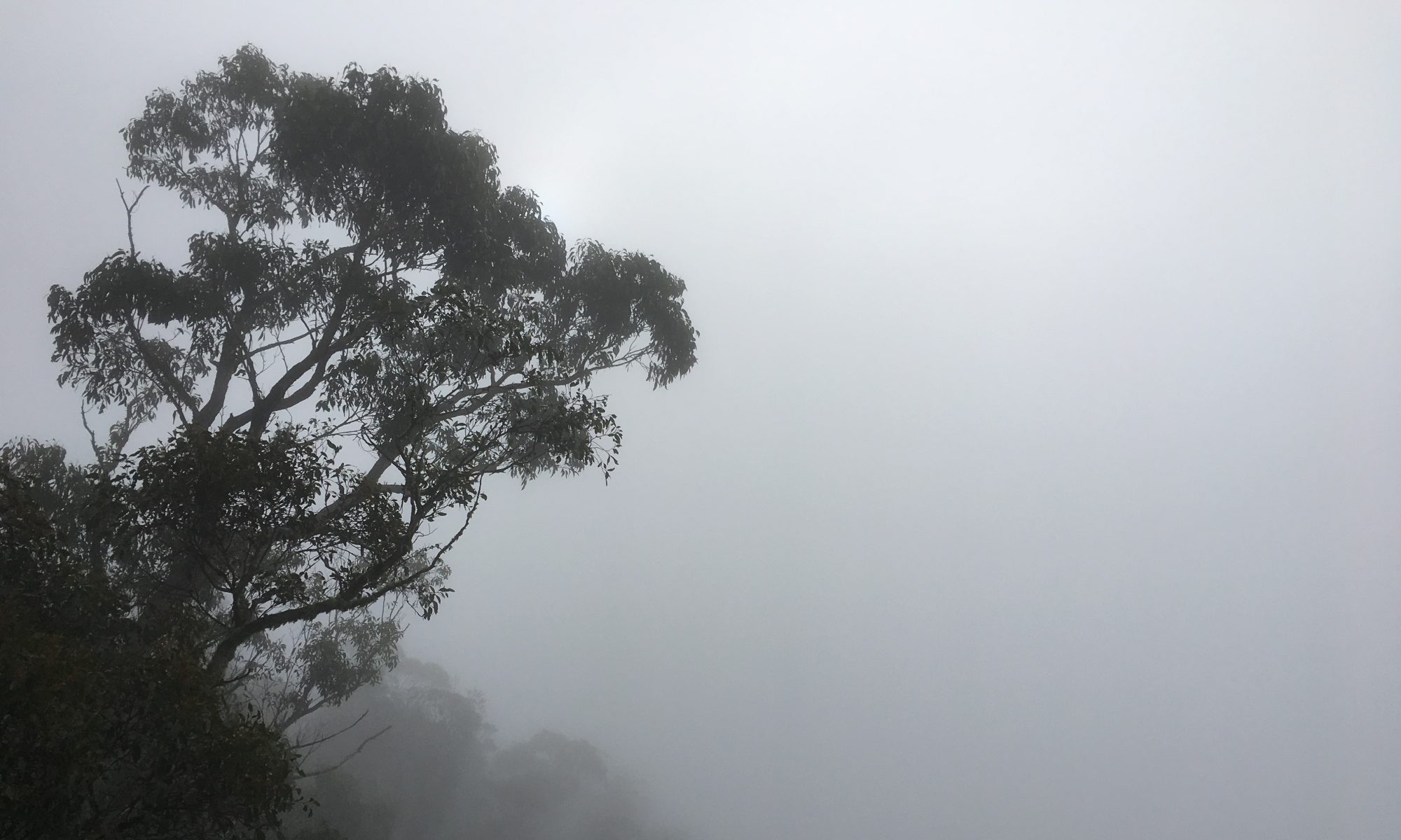
… then out into the open, above the treeline.
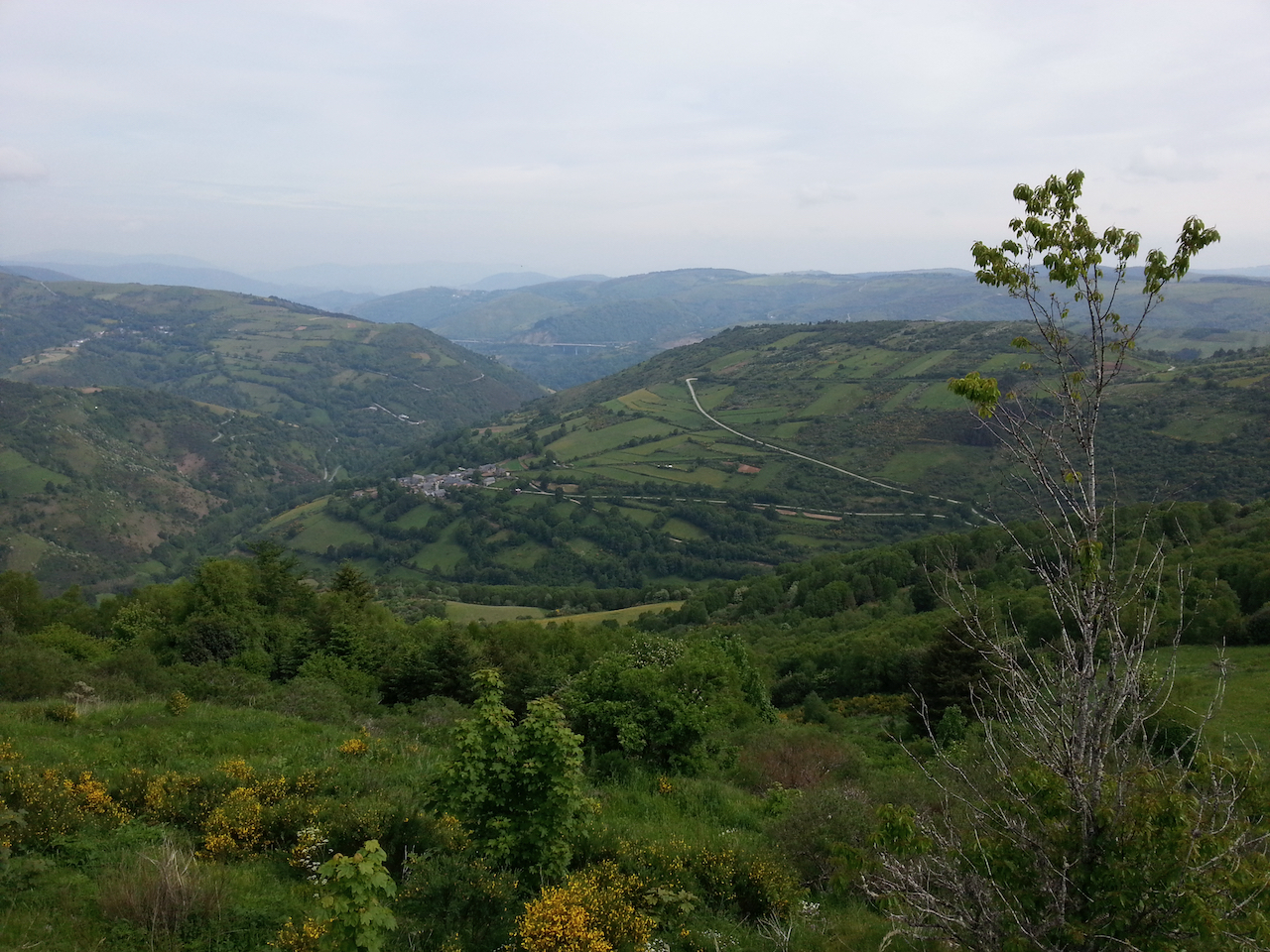
Looking back along the path.
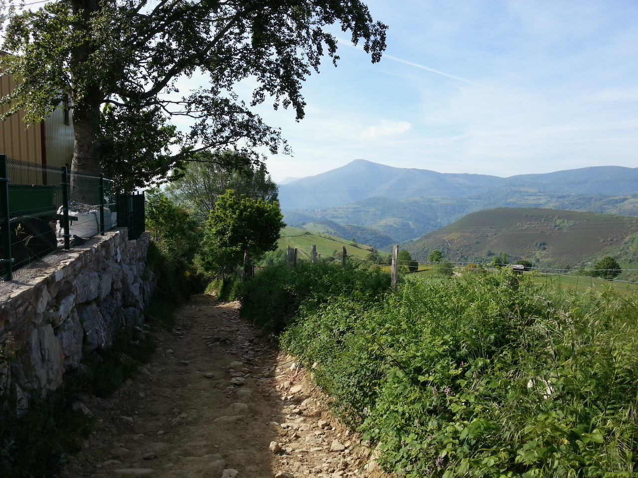
And the view off to the left.
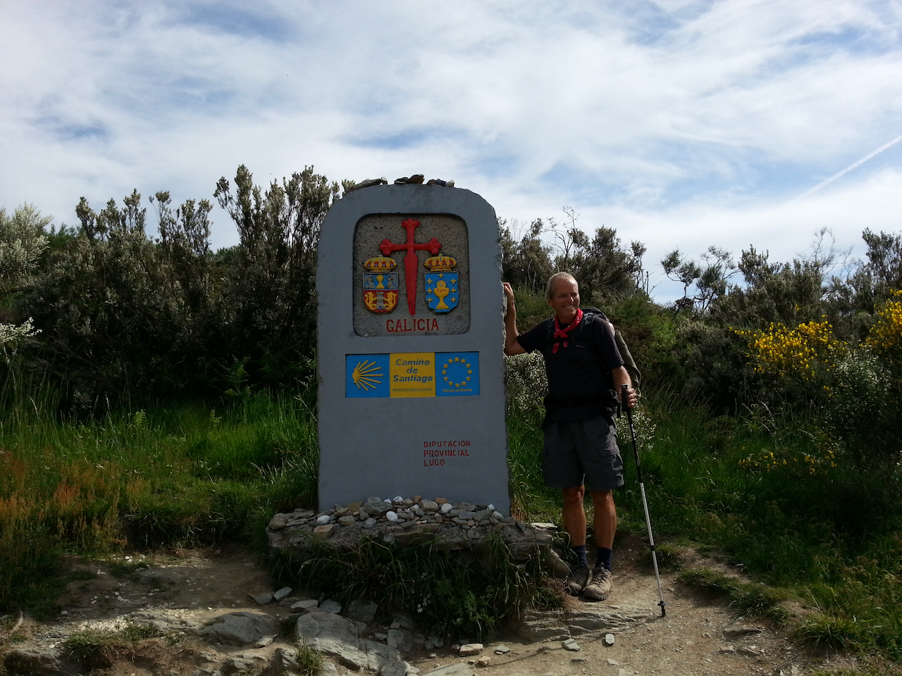
Out of the Castilla y Leòn region and into Galicia.
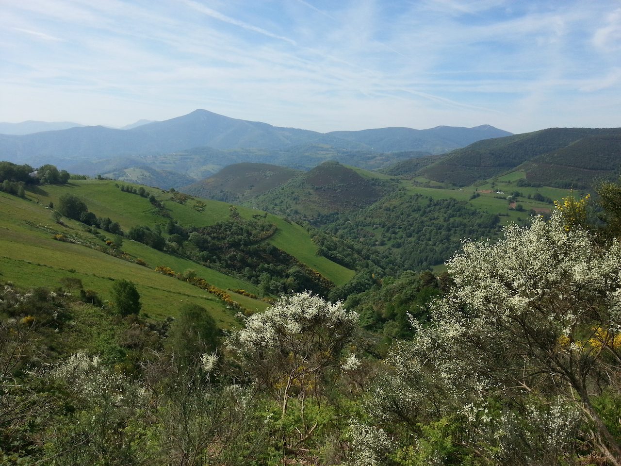
Along to O Cebreiro.
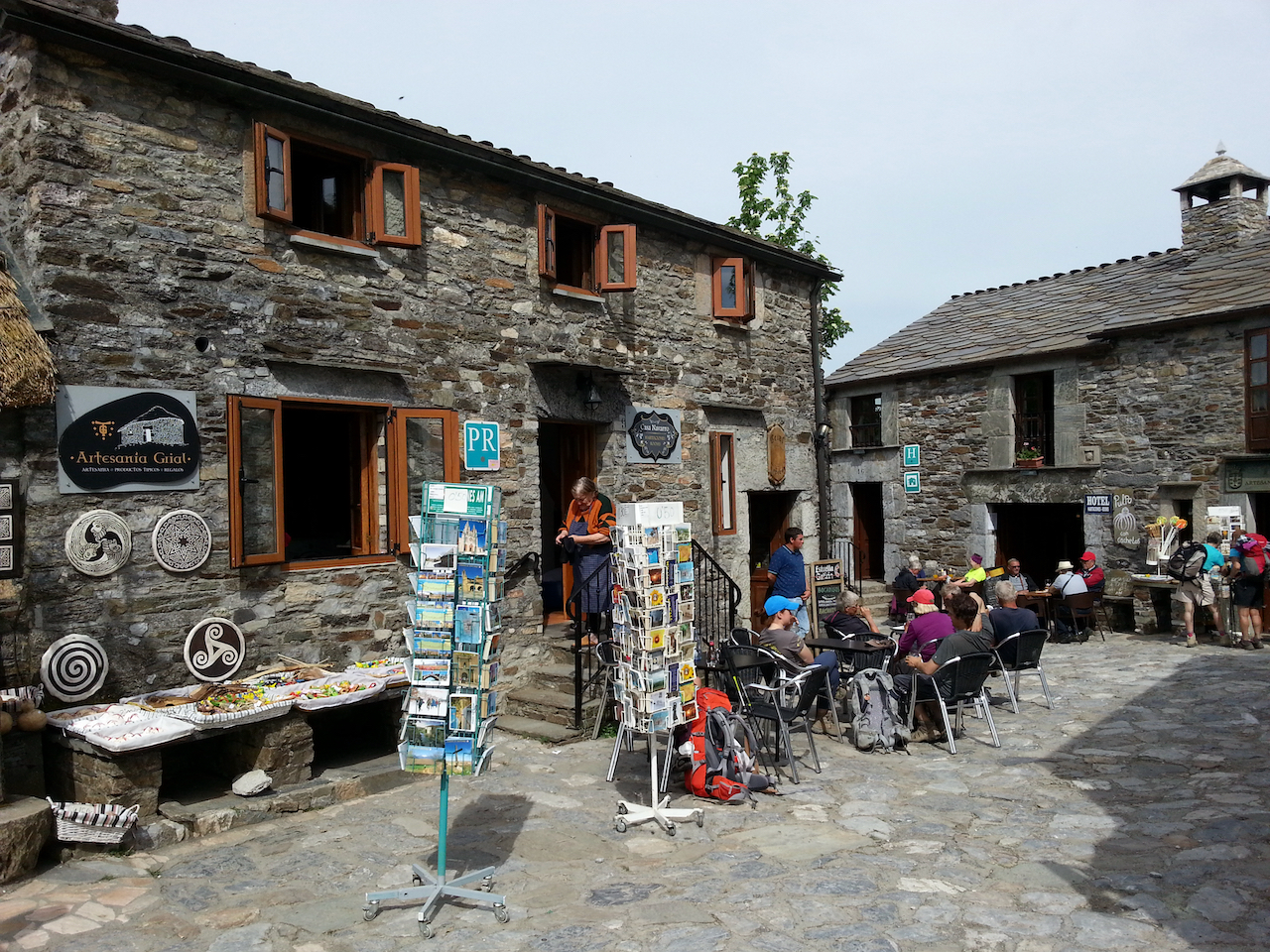
And O Cebreiro itself.
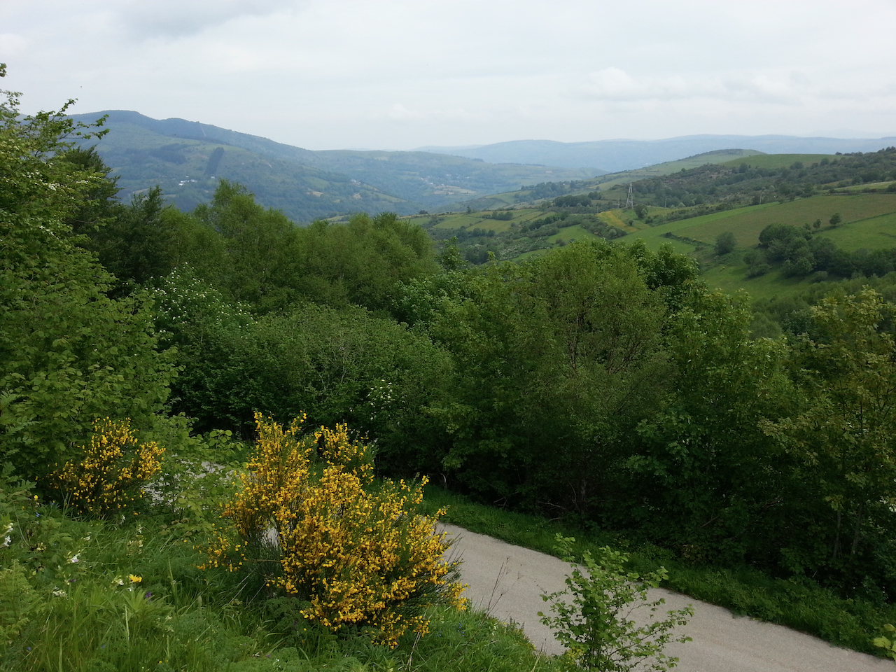
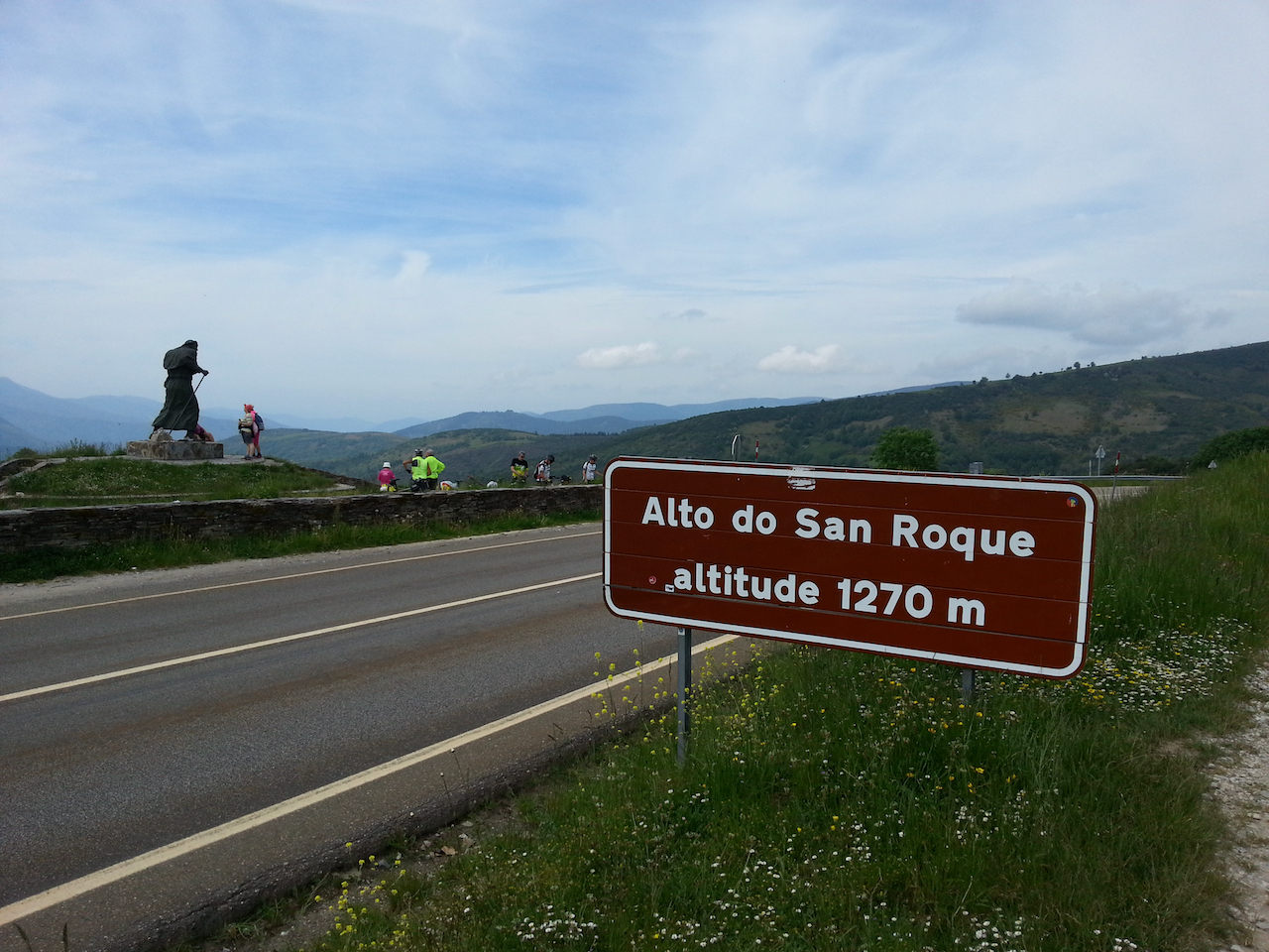
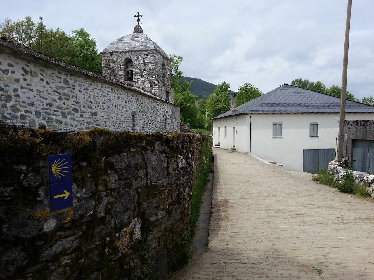
Following shots from walk across to Alto do Poio from O Cebreiro, via Linares, Alto de San Roque and Hospital de la Condesa.