Frómista to Carrión de los Condes

Shorter walk today. 19.2 km and 3:52 (see map).

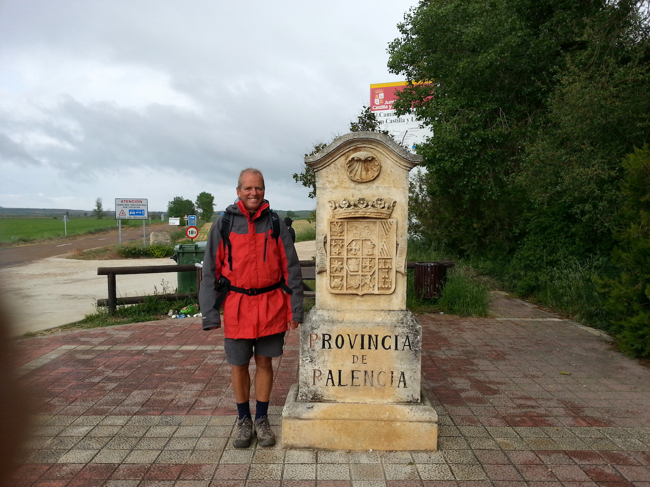
Half way through eight-day Burgos-to-León walk.

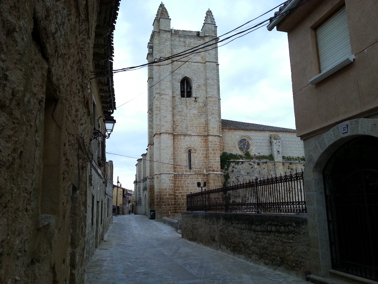
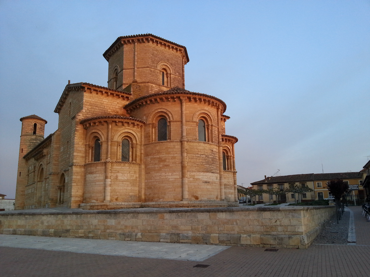
The deconsecrated world heritage-listed church in Frómista.

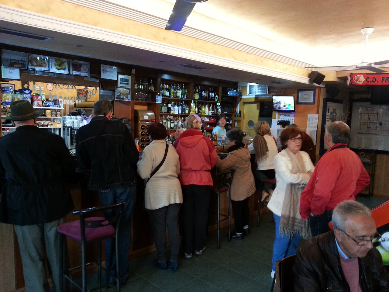
Competition at the only open café in Frómista at 7 am – a busload of tourists.

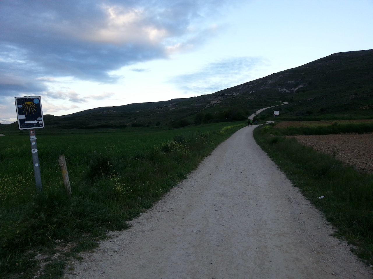
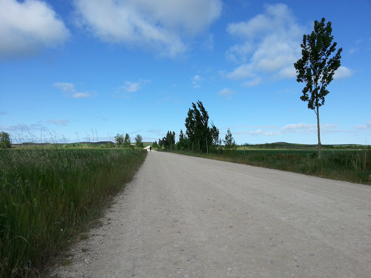
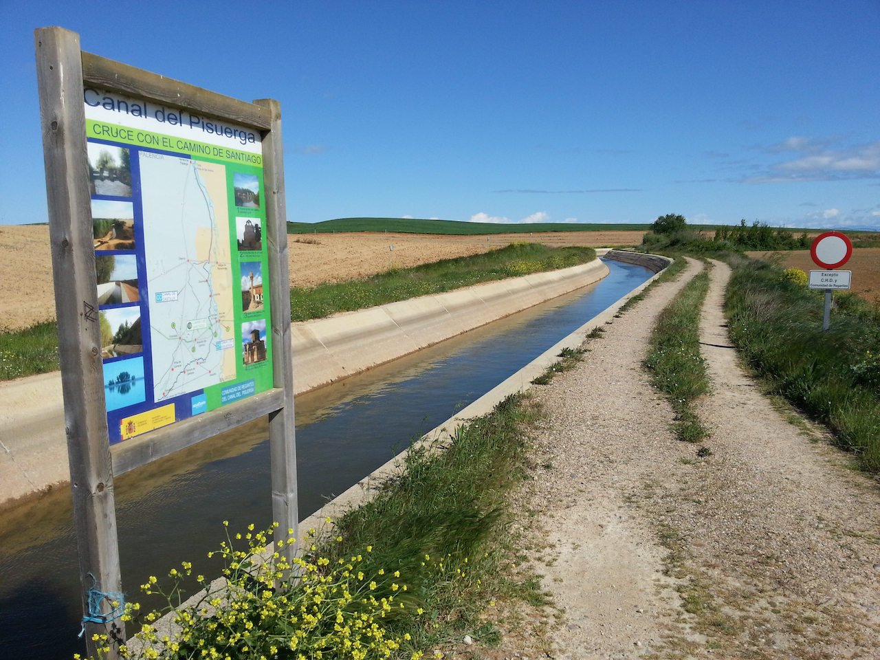
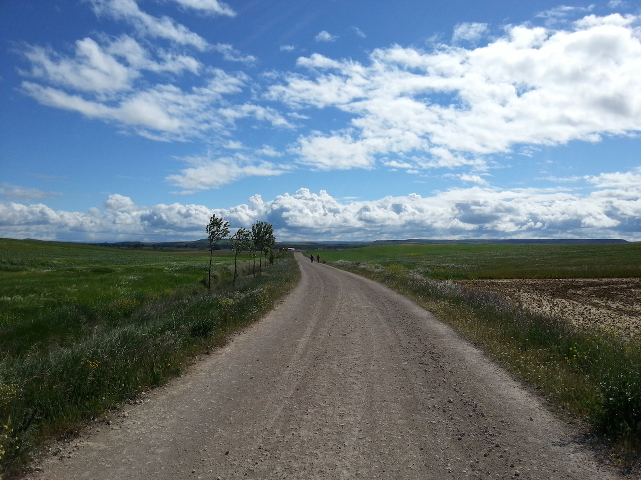
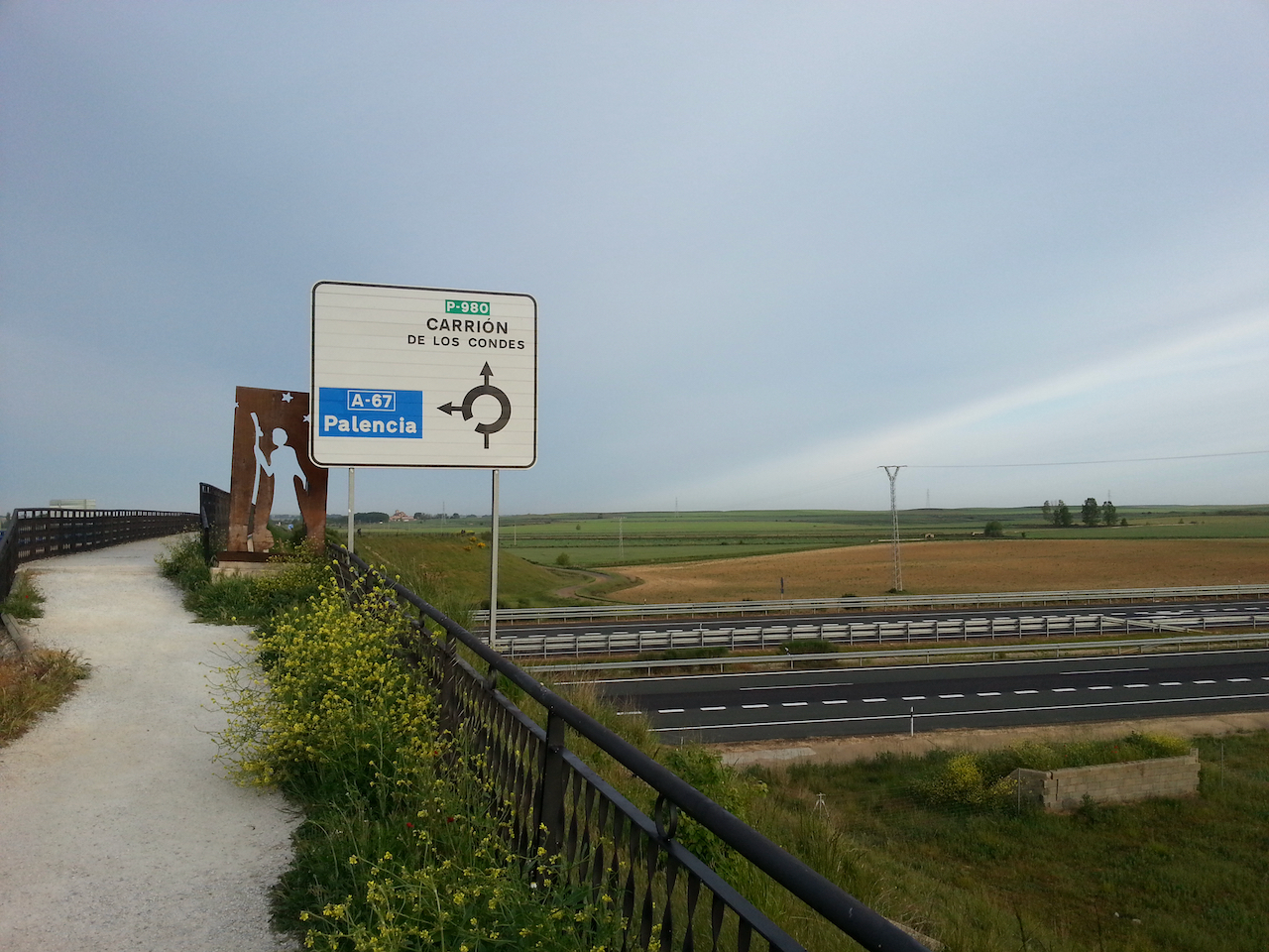
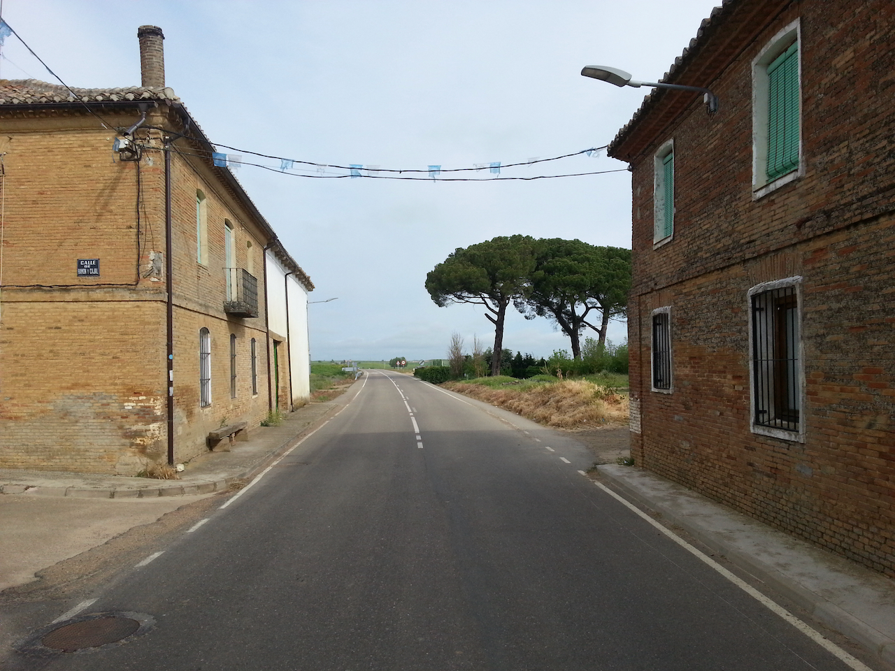
Out on the Camino. The path followed a quiet secondary road (the P-980) all the way to Carrión de los Condes.

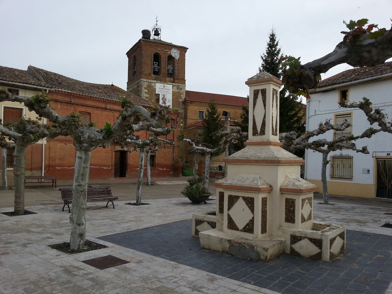
The church at Revenga da Campos.

Entering Villarmentero de Campos …
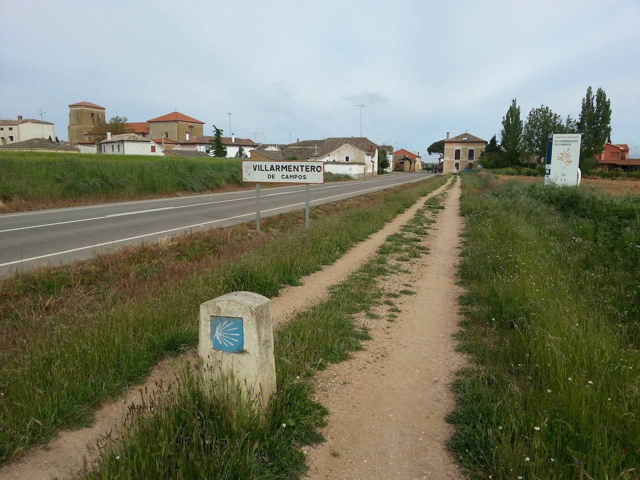
… and departing.

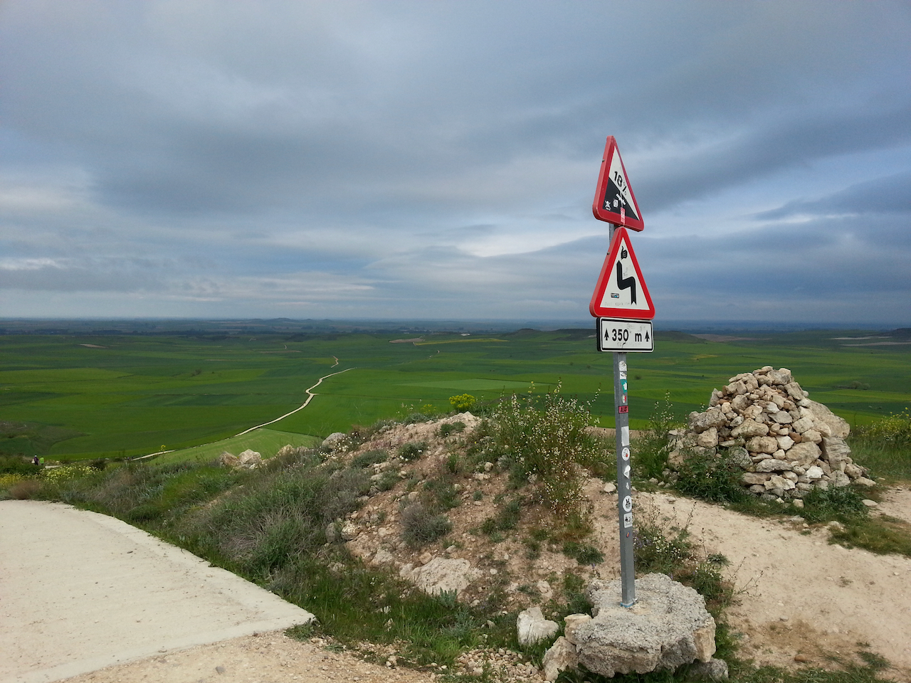
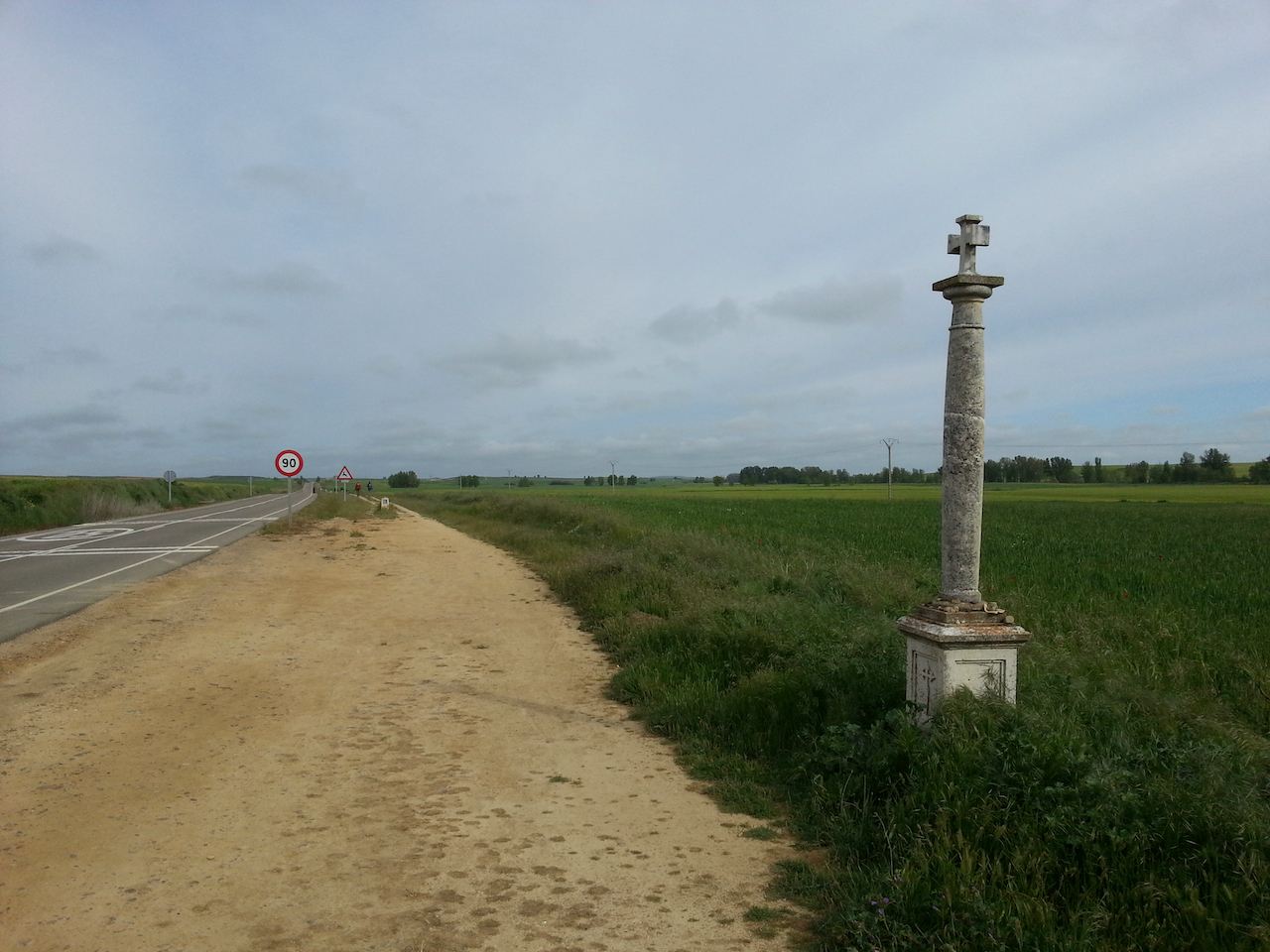
These markers were at a number of places along the path.

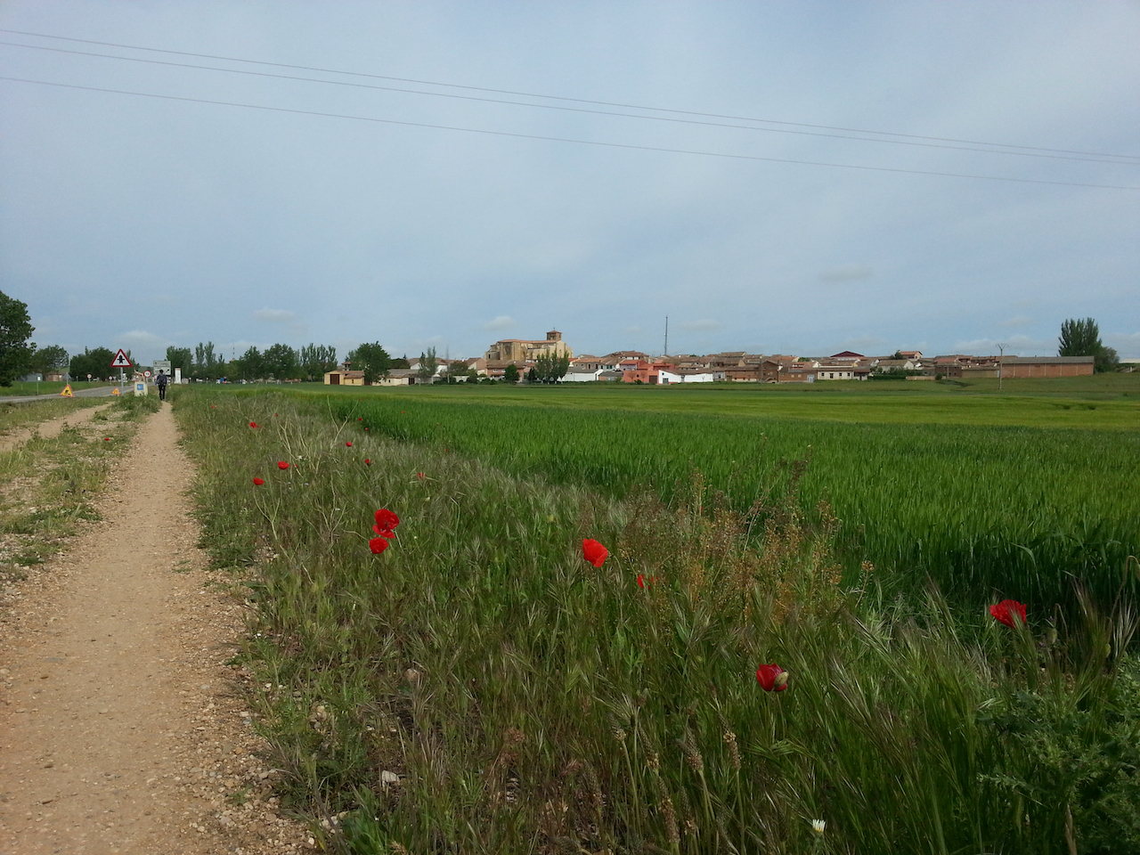
Approaching Villalcázar de Sirga.

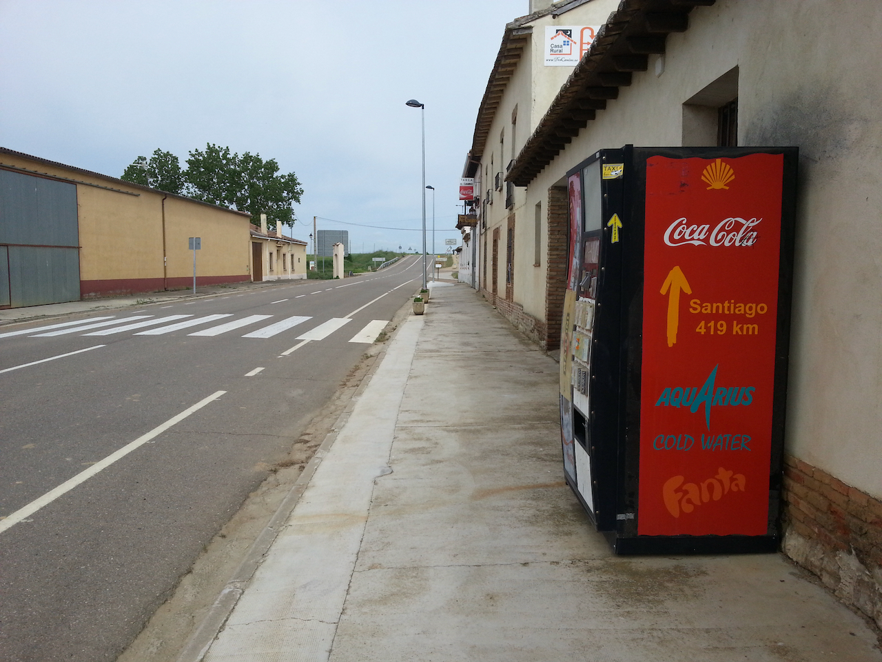
Only 419 km to the next Coke.

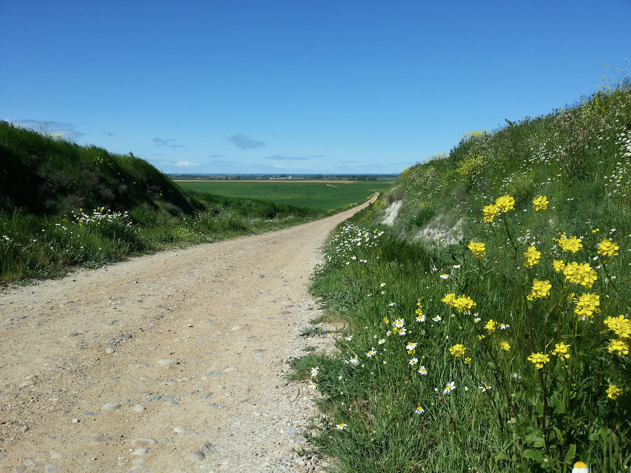
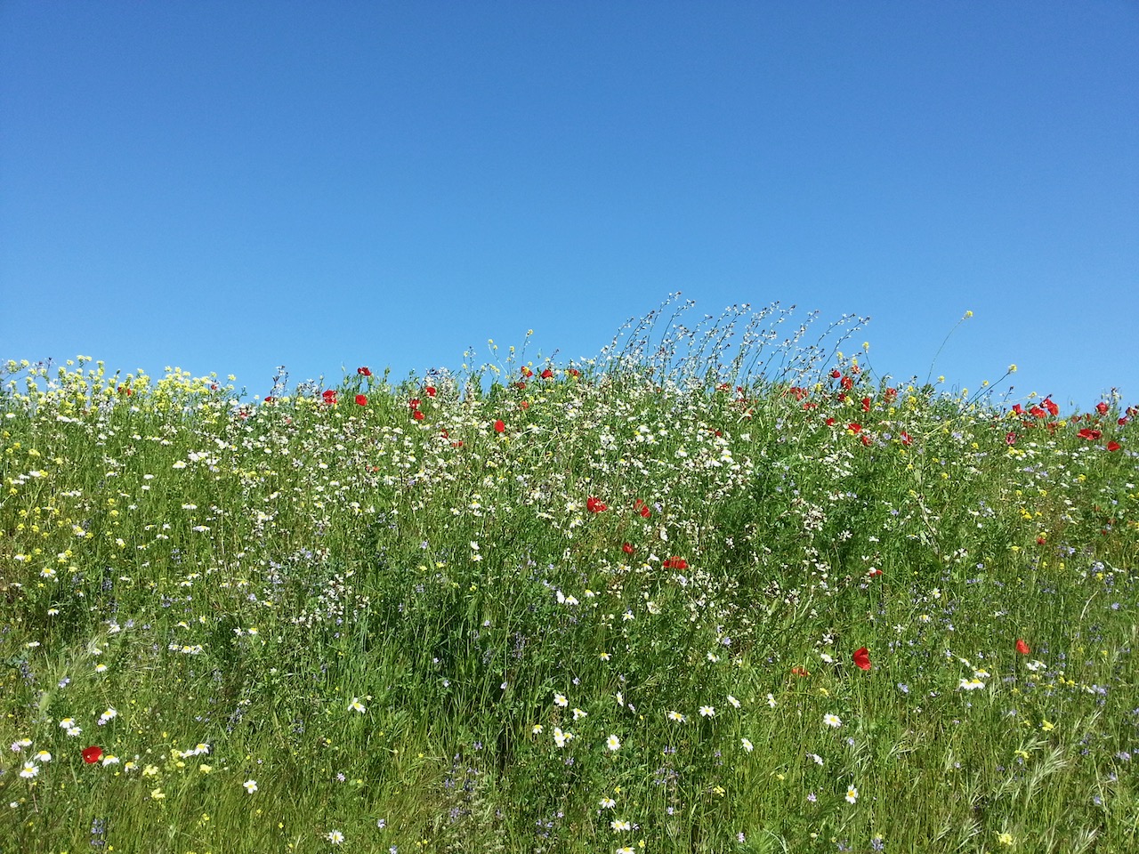
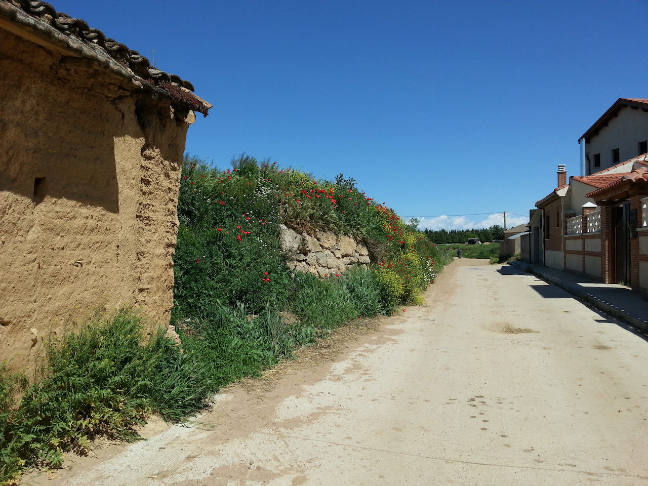
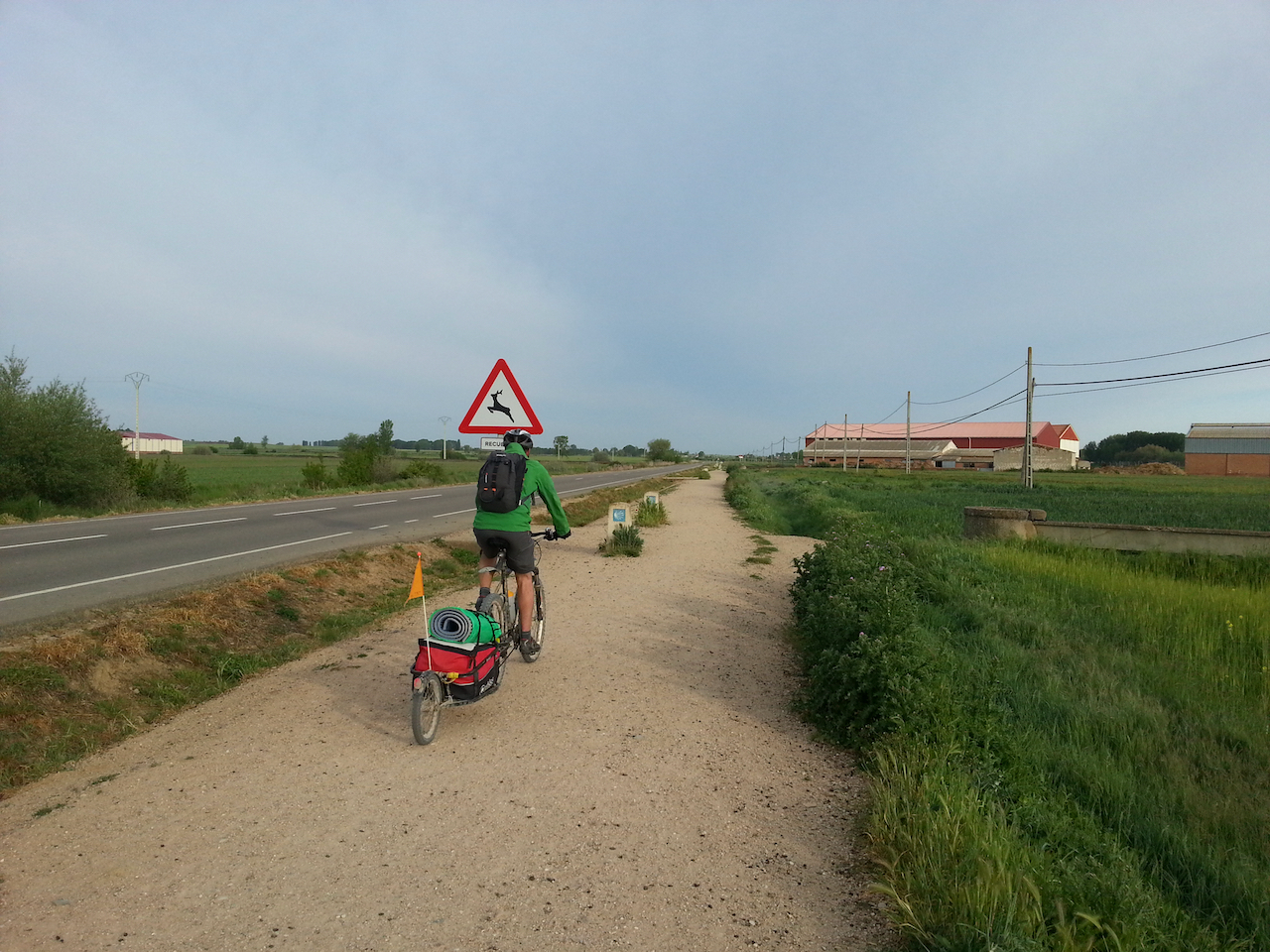
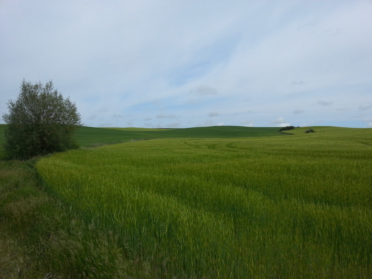
Typical countryside later in the walk.

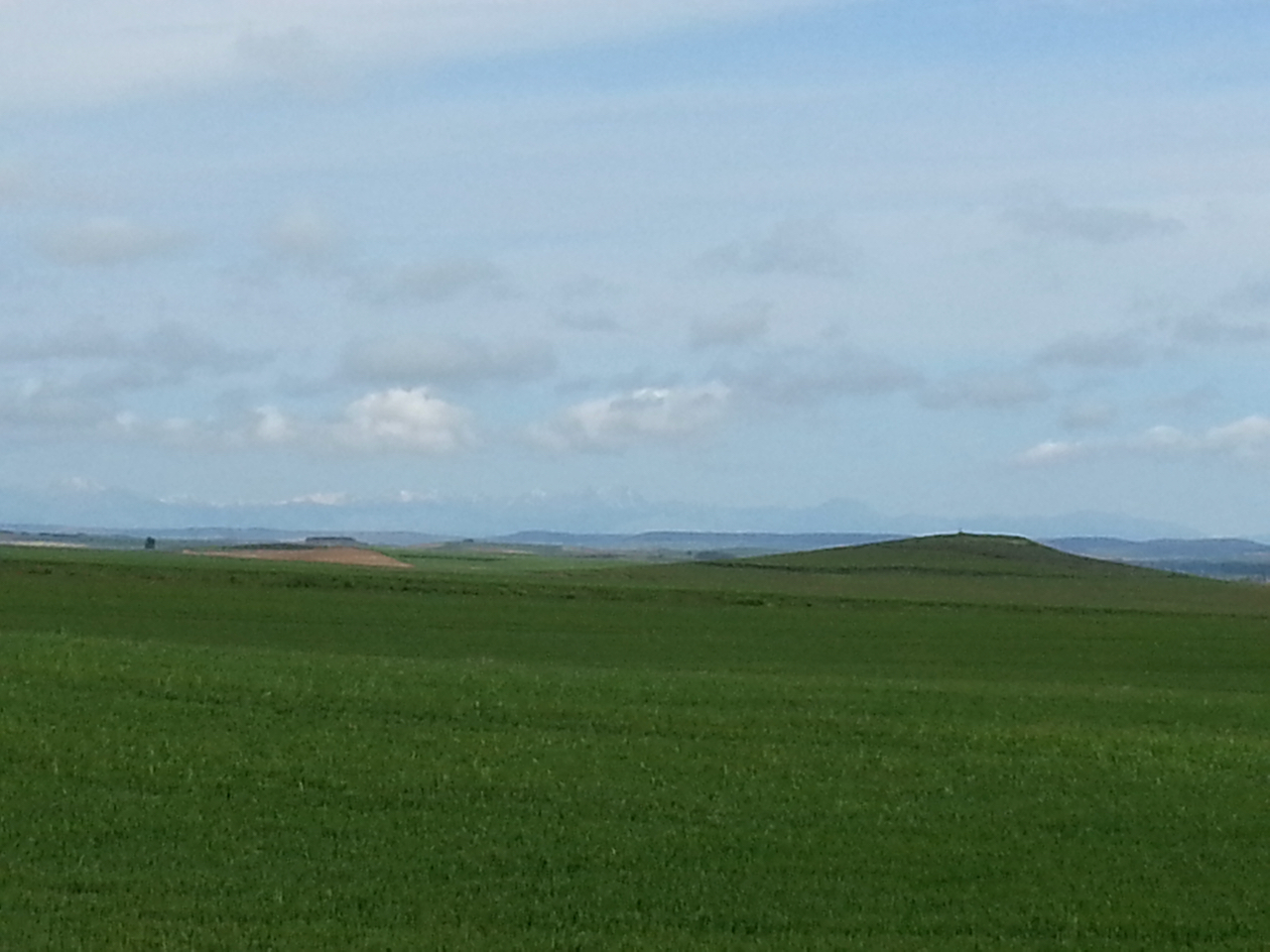
If you look hard / squint you might just pick out snow on the distant mountains.

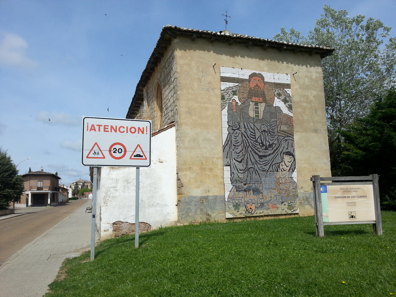
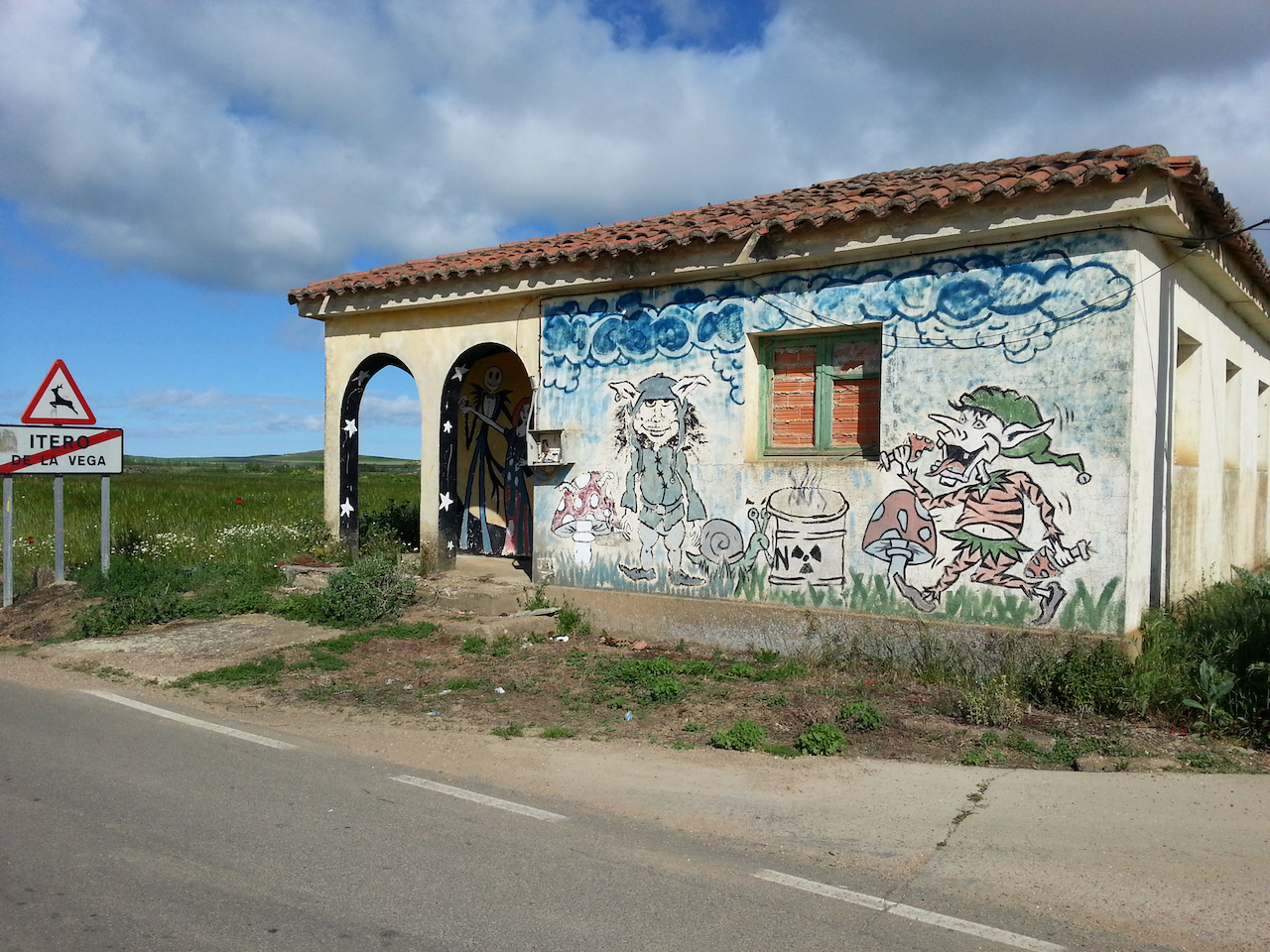
Mosaic art on building on outskirts of Carrión de los Condes.

Castrojeriz to Frómista

25.6 km and 5:11 (see map).

Start of the day at one of the churches in Castrojeriz.

On the way out of Castrojeriz.

A hill to climb. Alto de Mostelares – 910 m; 20 minutes to get up (Castrojeriz is at 808 m.)

At the top of Alto de Mostelares. A vendor has just set up her stand so a cup of tea is in order.

And on the other side of the hill … the Camino stretches into the distance.

Approaching the church at Itero del Castillo.

Medieval bridge. Over the Rio Pisuerga.

Modern peregrino. It had been showering for half an hour before this point on the path and there was a cold wind blowing so the heavy duty rain coat was on over layers of tops. Kept me warm enough.

Public art on the way out of Itero de la Vega, where I stopped for a late breakfast. Still haven’t seen any stags.

Further along the road from Itero de la Vega.

The Canal del Pisuerga.

Along the way to Boadilla del Camino.

Leaving Boadilla del Camino.

The last section of today’s walk tracked along by the Canal de Castilla, part of a large irrigation scheme for watering the wheat crops.

The irrigation channel at Frómista. I know everyone will be really interested in this.