León

Rest day.

A study in still life – early morning at a local café.

Cafeteria Alaska

Only the last vestiges of my cold remain. Good riddance to it. And the leg is on the improve too – I’m still hobbling a bit, but nowhere near as much as a couple of days ago (or yesterday for that matter). Bearing in mind my friend Manuel’s reminder essentially that I’ll need my leg muscles to be in good shape “when [I] start climbing higher hills in Galicia”, my friend Nettie’s reminder that I have a mortal body and Lindell’s encouragement to recover well, I’ve decided to stay on in León for a couple more days and will now head off on Wednesday morning.

On to other things. I’ve just updated the blog posts through to León to include a link (‘see Map’) to the Garmin route map for each day’s walk. Just click on the word ‘Map’ and the Garmin map will come up.

On-and-off rain in León today, too.

León

Rest day.

I’ve had a bit of a cold this past week, but it’s on its way out now. (It’s difficult to avoid picking up a bug like that when staying in dormitories.) It didn’t knock me around too much energy wise though, which was good. I did, however, manage to strain the tops of the quad and hamstring muscles in my left leg a couple of days ago – probably from taking longer strides than usual when walking with another peregrino – and that has proved a little more challenging to deal with as it made walking distinctly uncomfortable, especially yesterday. So, a few days off the Camino without a pack and only short wanderings around León will do the body and me the world of good. It’s an elegant, relaxed city to do that in.

Some stats for the journey so far from Saint-Jean-Pied-de-Port to León:
– 468 km*
– 21 walking days, 3 rest days
– 22.3 km per walking day
When I was planning the Caminos, I estimated the total days required based on 5.5 walking days p.w. at 20 km a day and 1.5 rest days p.w. That was just to get an overall walk duration. At this stage that estimate is holding true. 20-25 km a day is proving to be a comfortable distance. The remaining section of the Camino Francés – León to Santiago de Compostela – is 313 km so should take me about 18 days with two rest days. Then there’s a few more days walking the Camino de Finisterre out to the end of the earth aka Cape Finisterre.

Portugal firming up as the post-Caminos destination.

An overcast morning in León, mild but with a little drizzle. View from my 5-star hostel room (a comfortable bright single room, with own bathroom in the Hostal Prada Borges; €84 for three nights).

Will add more photos later when it stops raining.

Well it has been drizzling on and off all morning so a good day to lay low.

Well I never!

All quiet on León streets during siesta time.

* To put that distance into an Australian context, it’s over half way to Sydney via the Hume Hwy from the Melbourne GPO (just past Tarcutta) or, heading to Adelaide via the Western Hwy, just past Bordertown. (I wouldn’t walk to Bordertown though. That name connotes a certain unpleasantness!)

Reliegos to León

24.5 and 5:27 (see map).

The last leg of the Burgos-León walk. León quite sprawled so commercial outskirts reached with still half the total walk distance to go. Good walking prior to that, through the countryside and a number of small villages, occasionally by the main road. It’s good to be in León with a couple of rest days ahead of me.

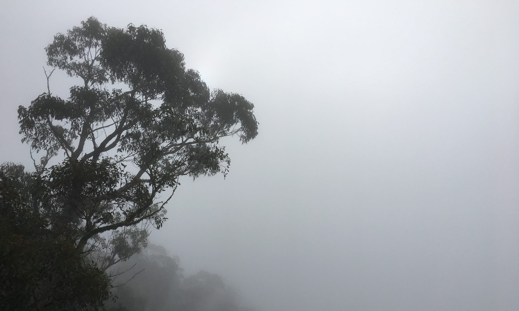
It’s significant arriving in León as the city essentially marks the end of the Meseta, the high plateau the Camino has tracked across since Burgos. The final section of the Camino, to Santiago de Compostela, heads into the mountains of Galicia, as different from the Meseta as it no doubt will be from the first section through the Pyrenees from Saint-Jean-Pied-de-Port to Burgos.

There are a number of metaphors I have heard used to describe the three distinct stages of the Camino: Saint-Jean-Pied-de-Port to Burgos, Burgos to León, León to Santiago de Compostela.
1. Birth, death, rebirth (this one came from a Scot who said he’d come across it in a religious narrative about the Camino)
2. Childhood, adolescence, adulthood (from a couple of Dutch ladies who’d seen the stages described as such)
3. Physical, mental, spiritual (from a girl from Canberra)
So, the prospects for stage three are looking good if the metaphors are anything to go by.
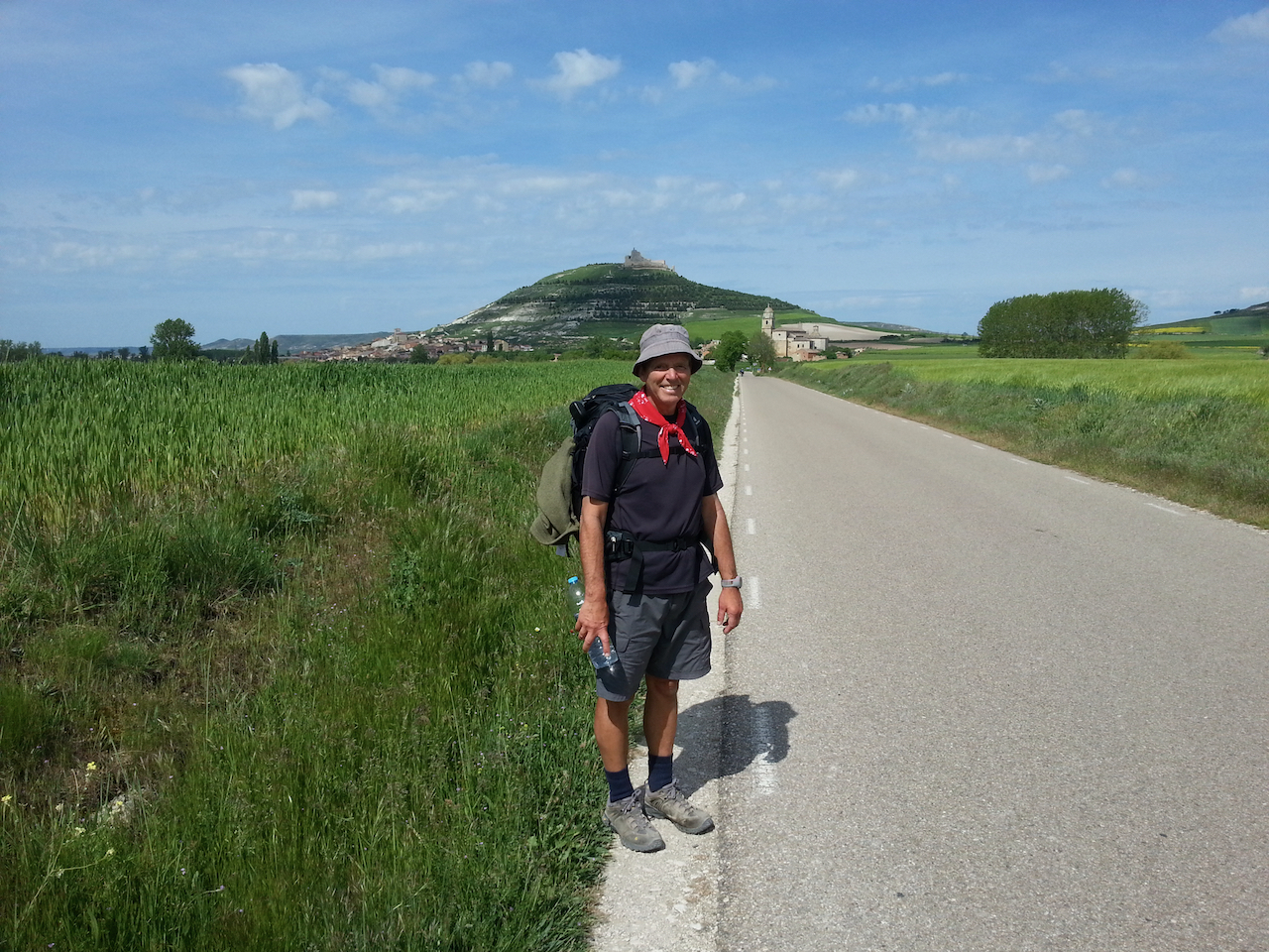
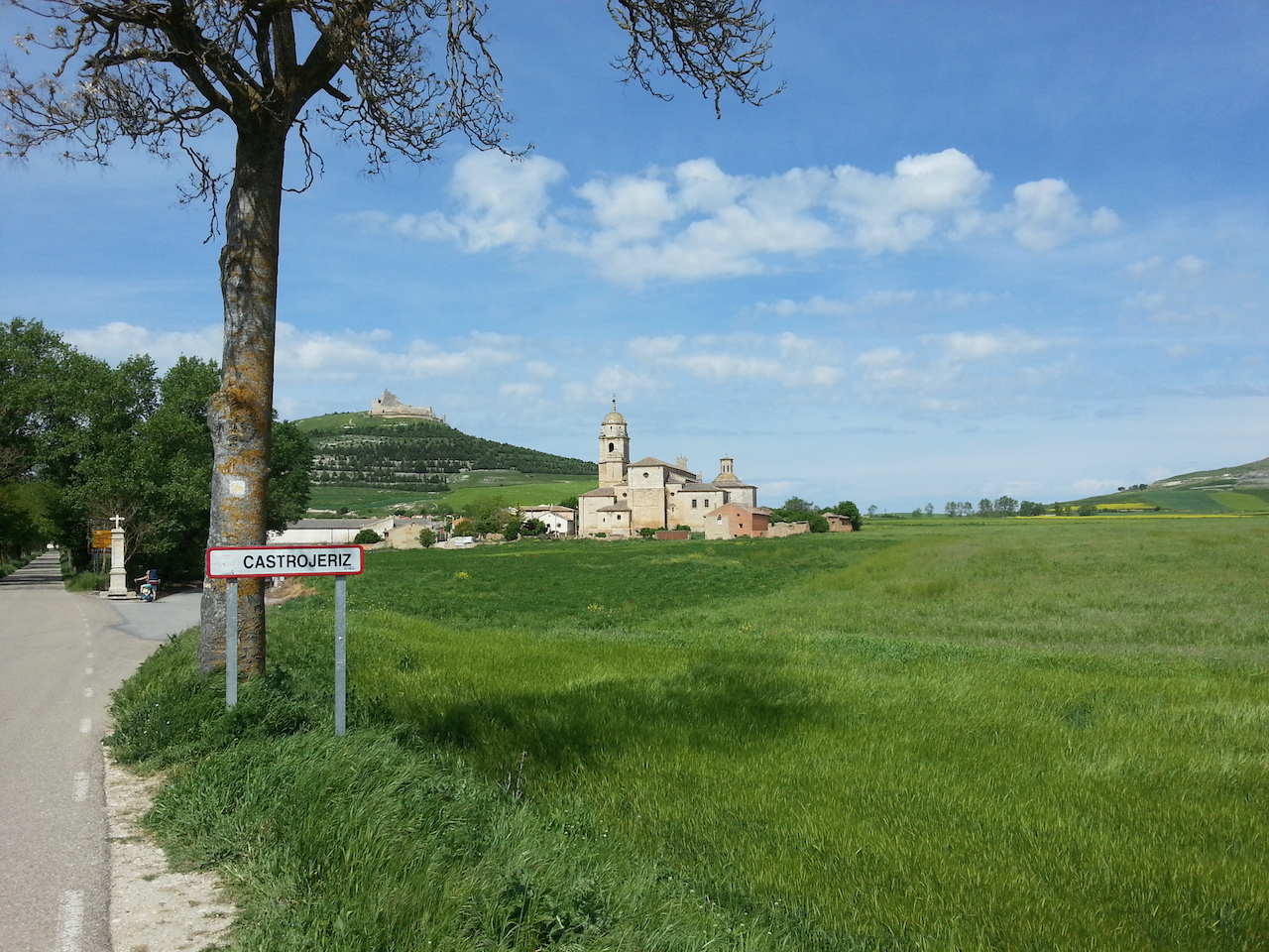
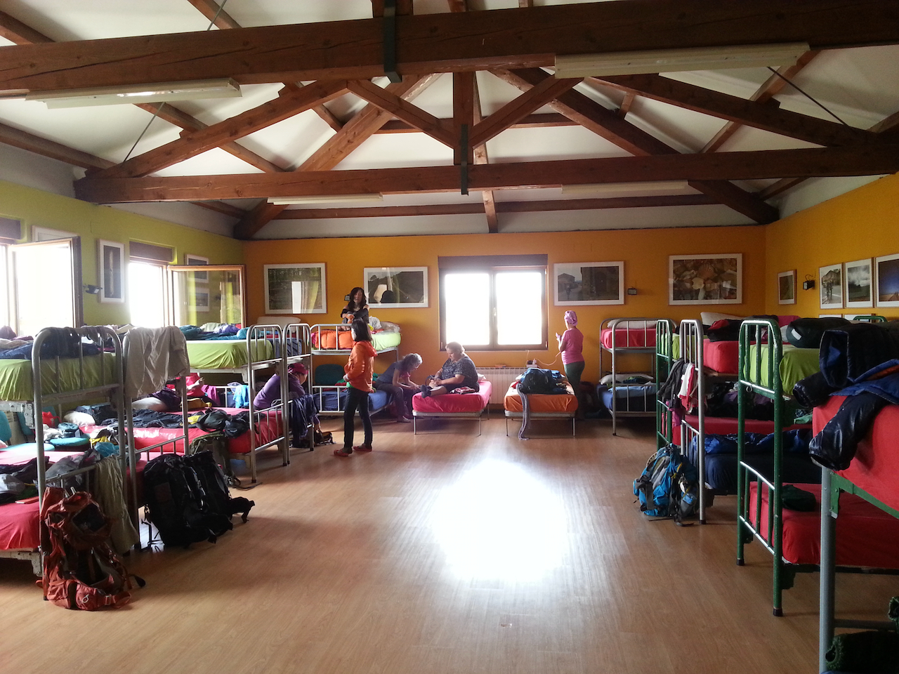
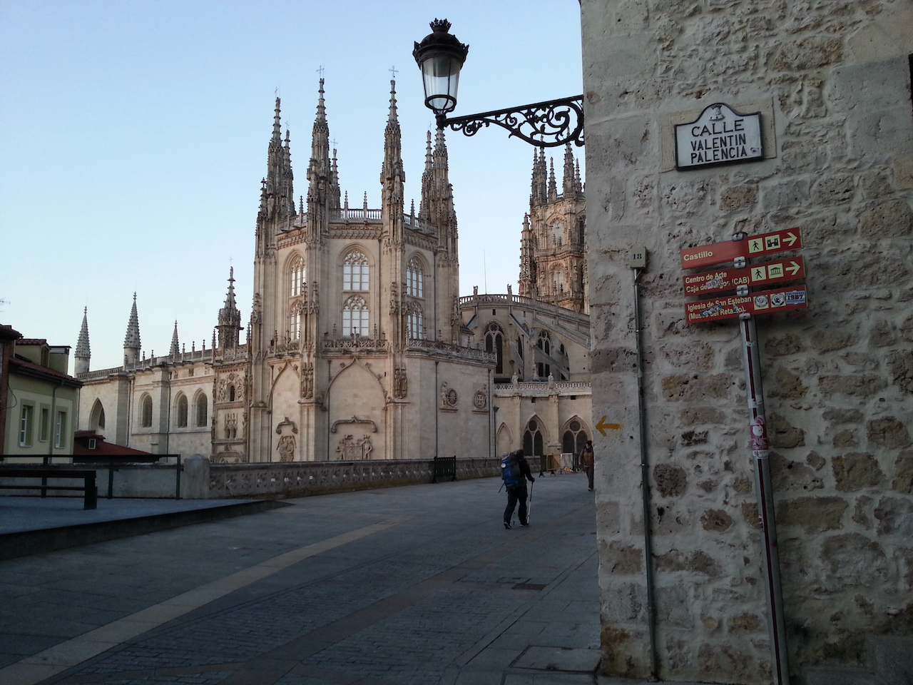
To today’s walk …

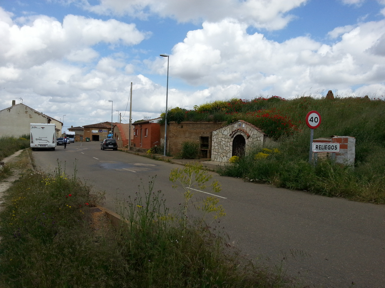
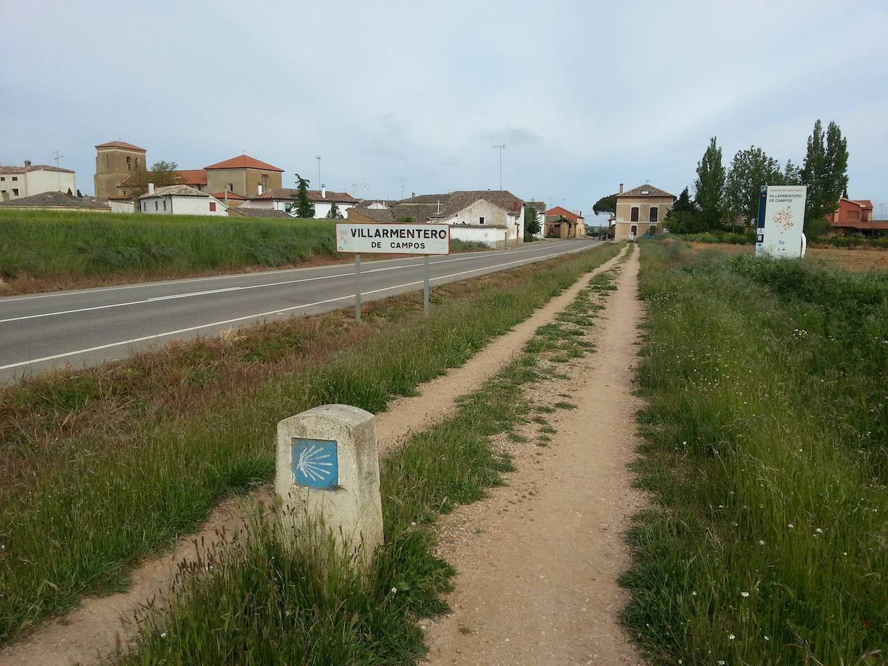
Tribute to the pilgrim, on the way out of Reliegos.

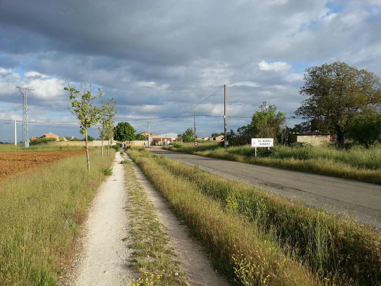
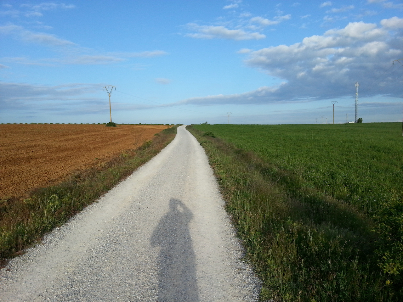
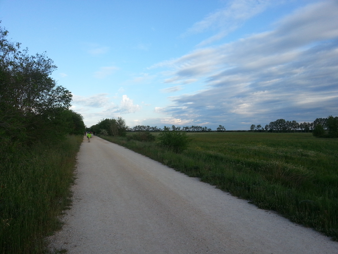
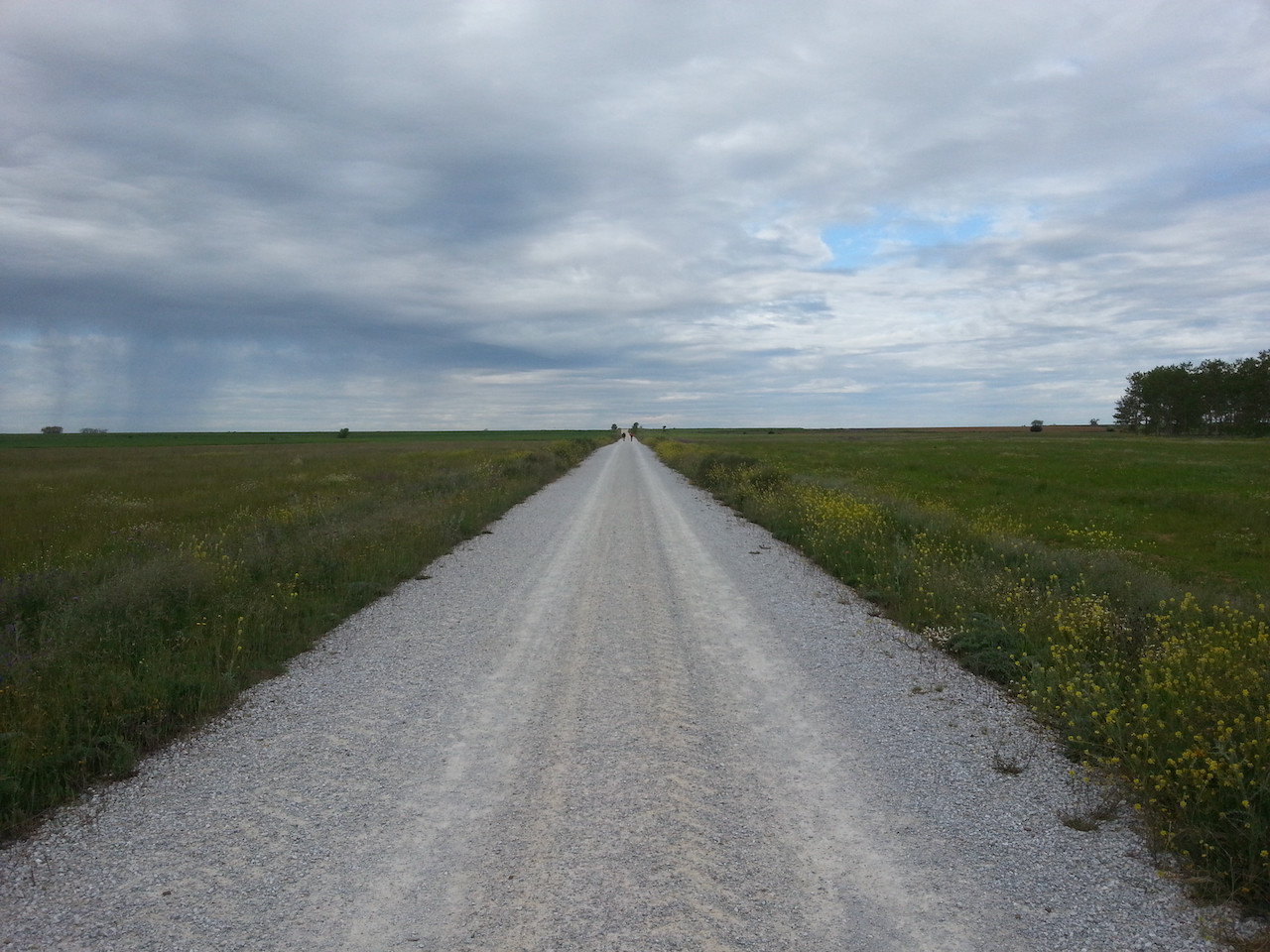
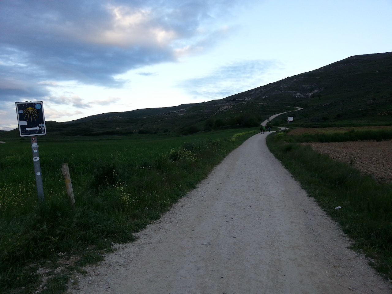
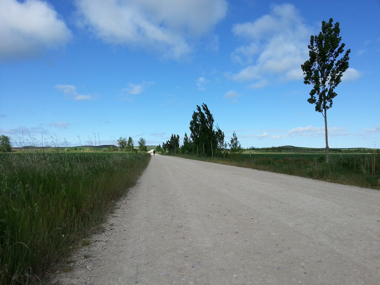
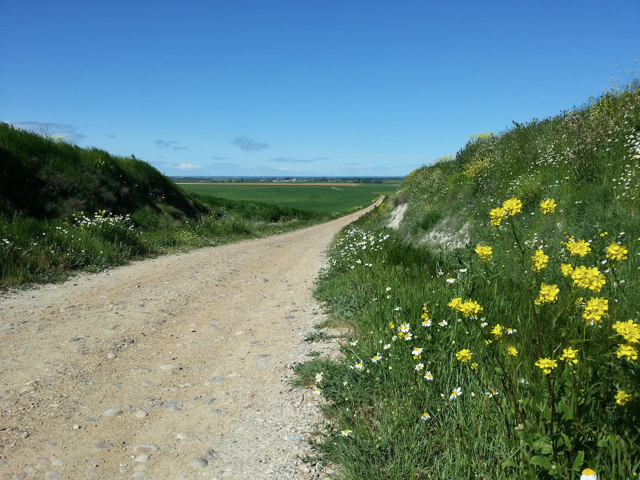
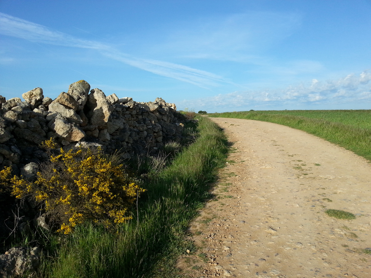
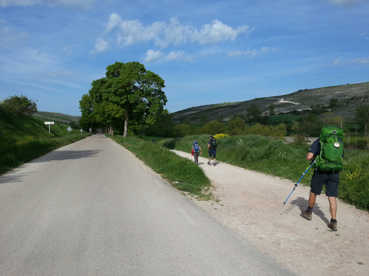
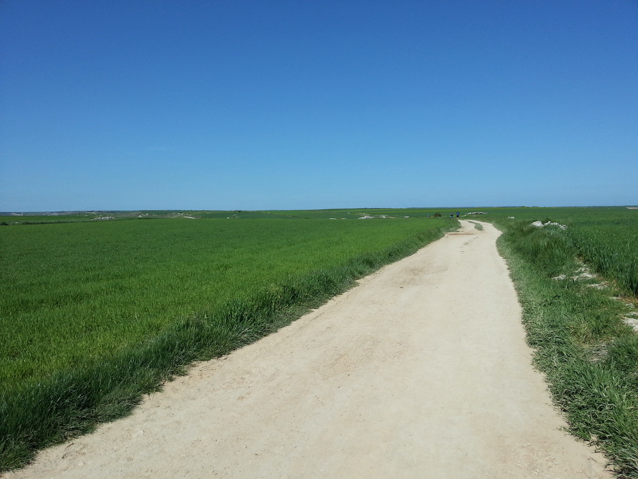
Like this much of the way to Mansilla de las Mulas.

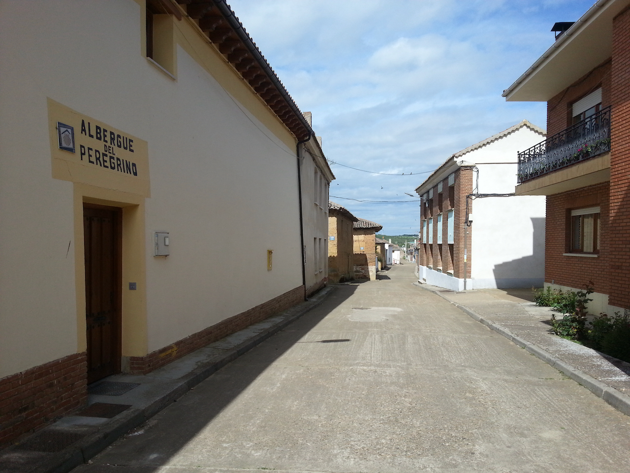
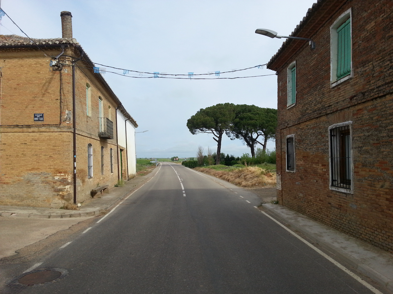
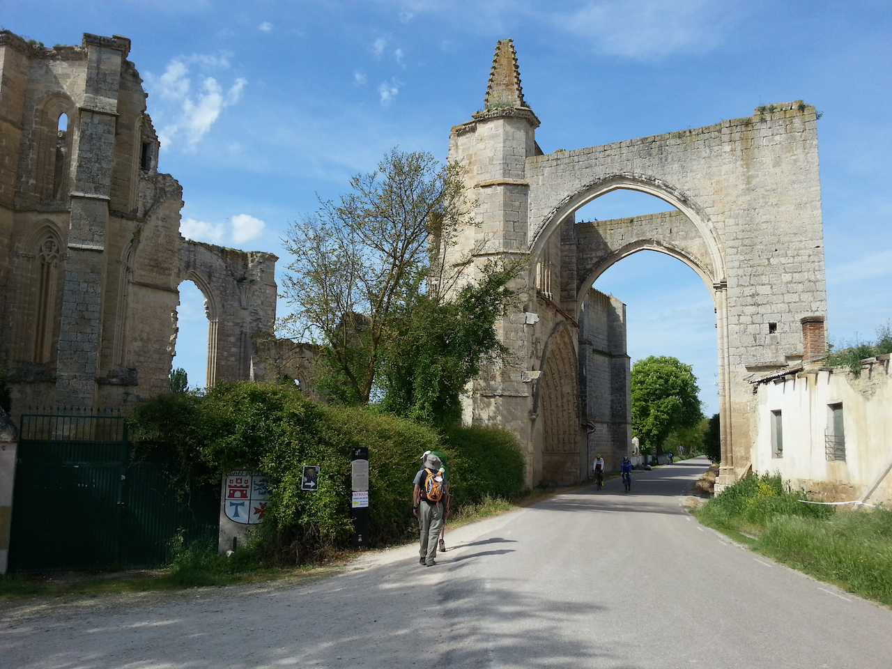
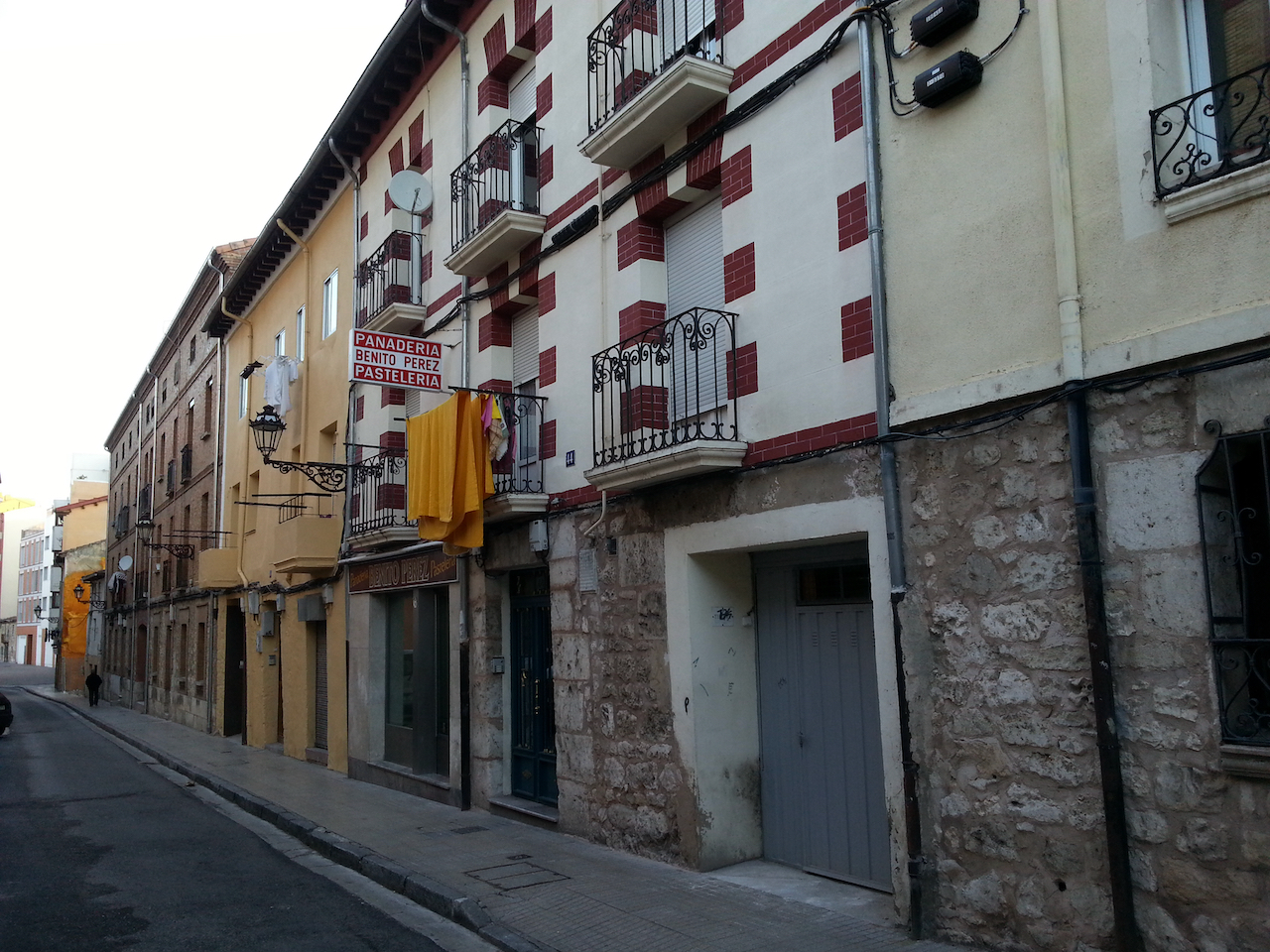
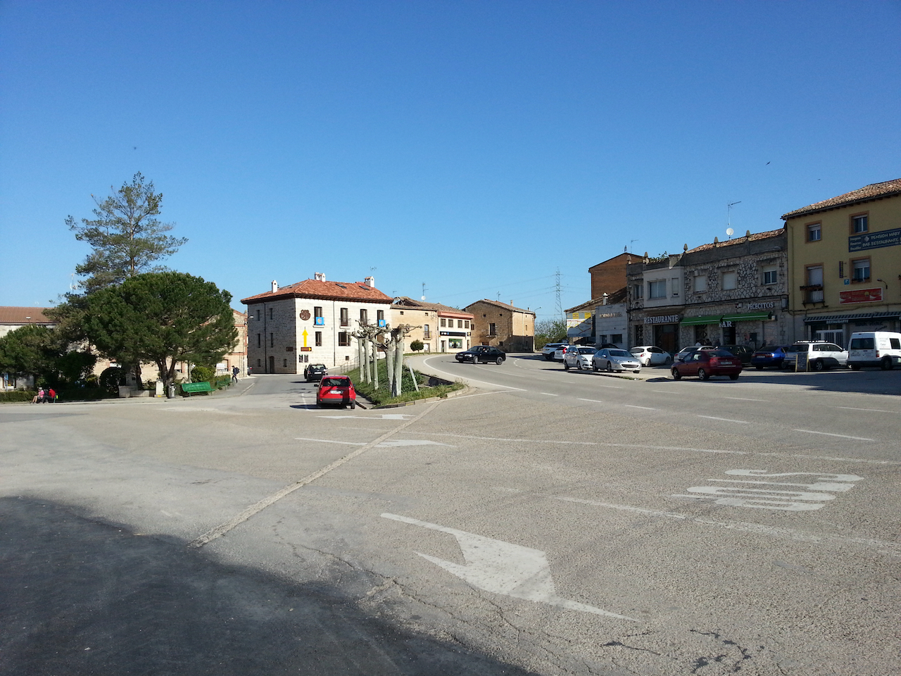
Some of the houses in central Mansilla de las Mulas.

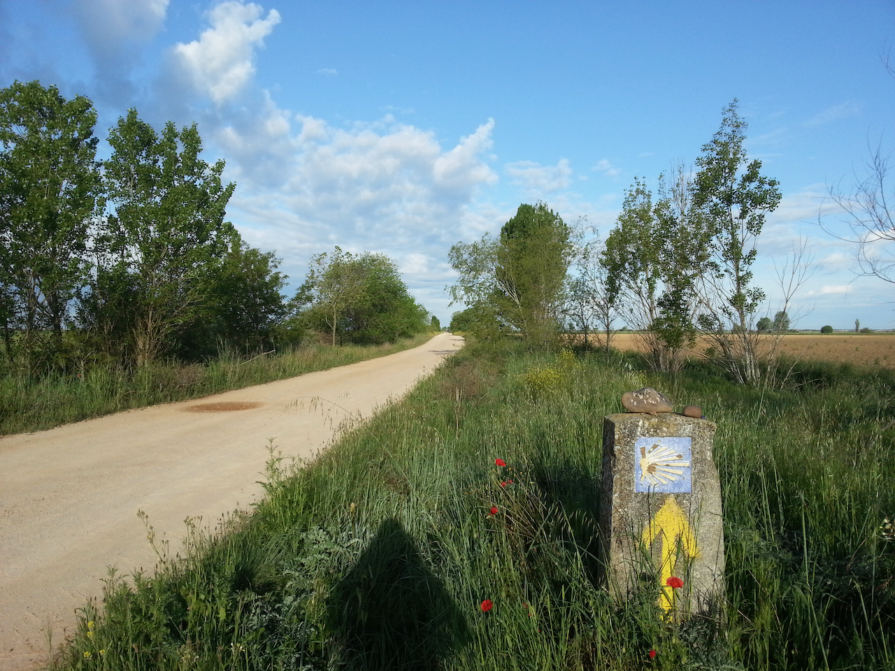
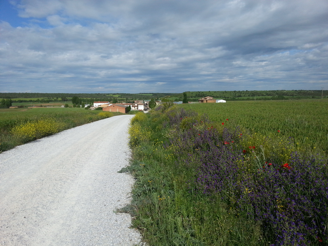
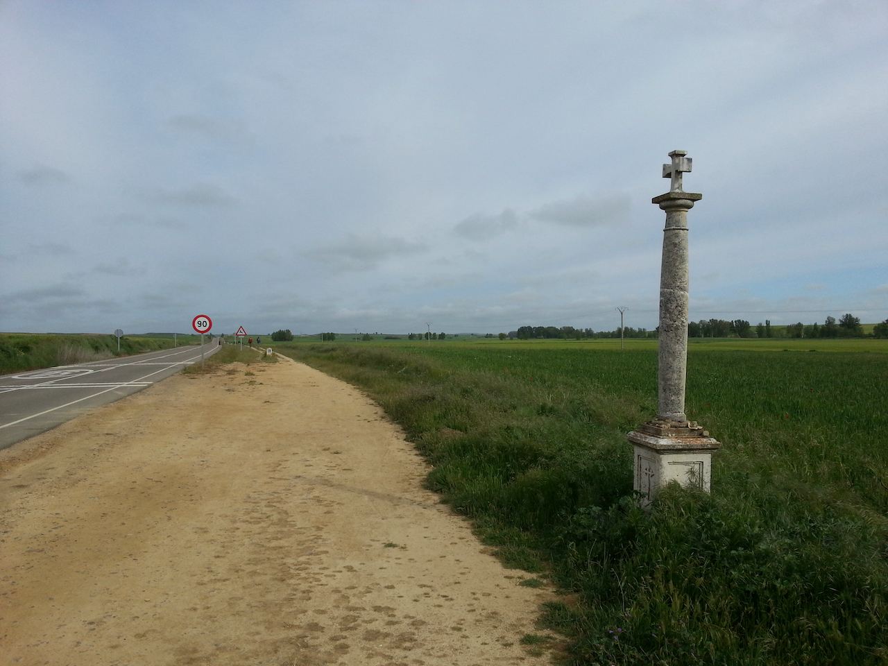
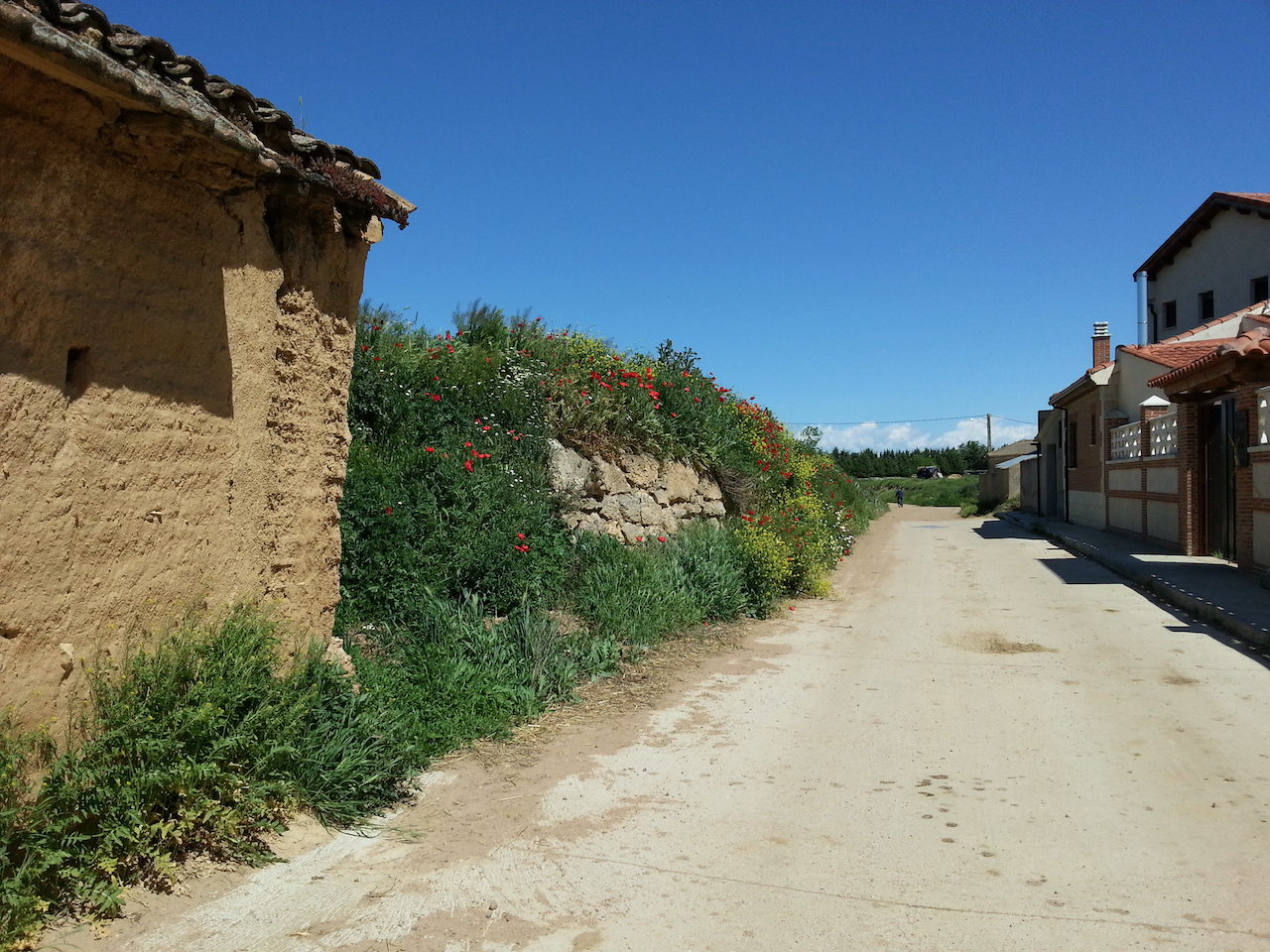
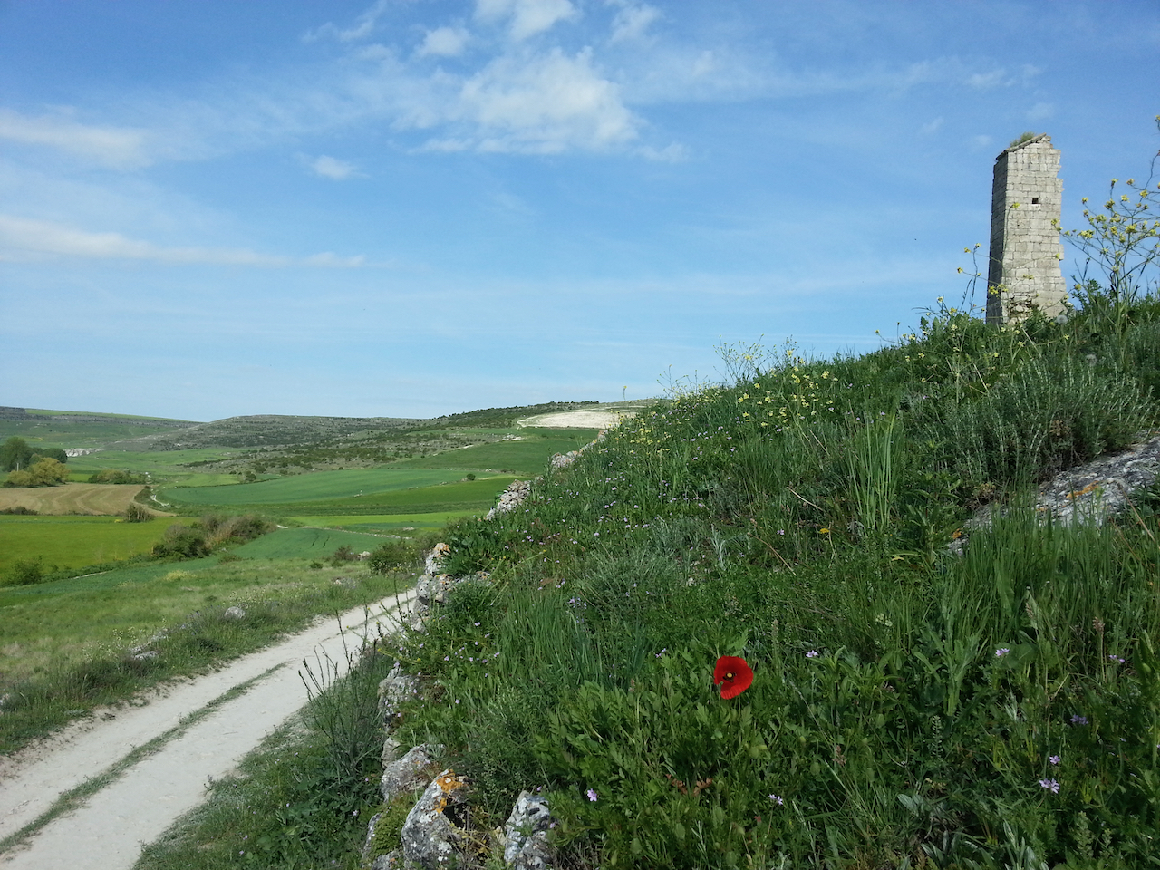
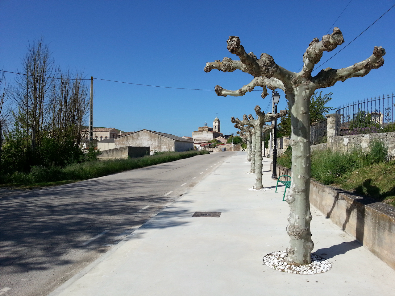
On the way out of Mansilla de las Mulas.

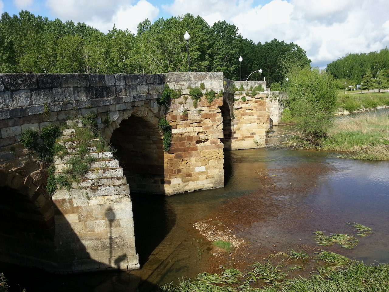
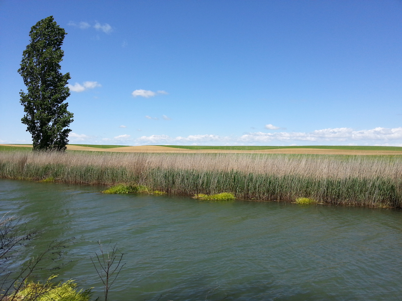
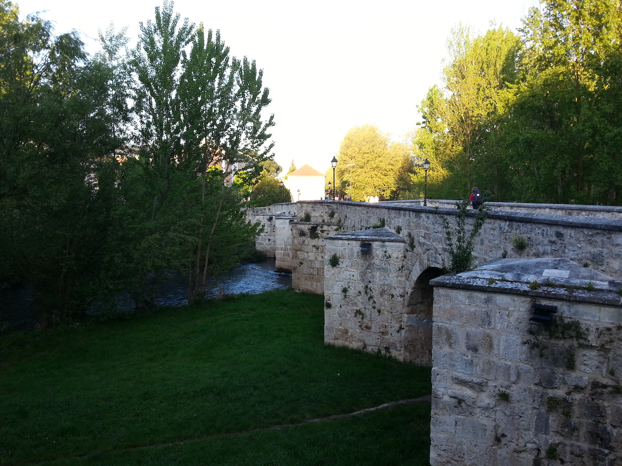
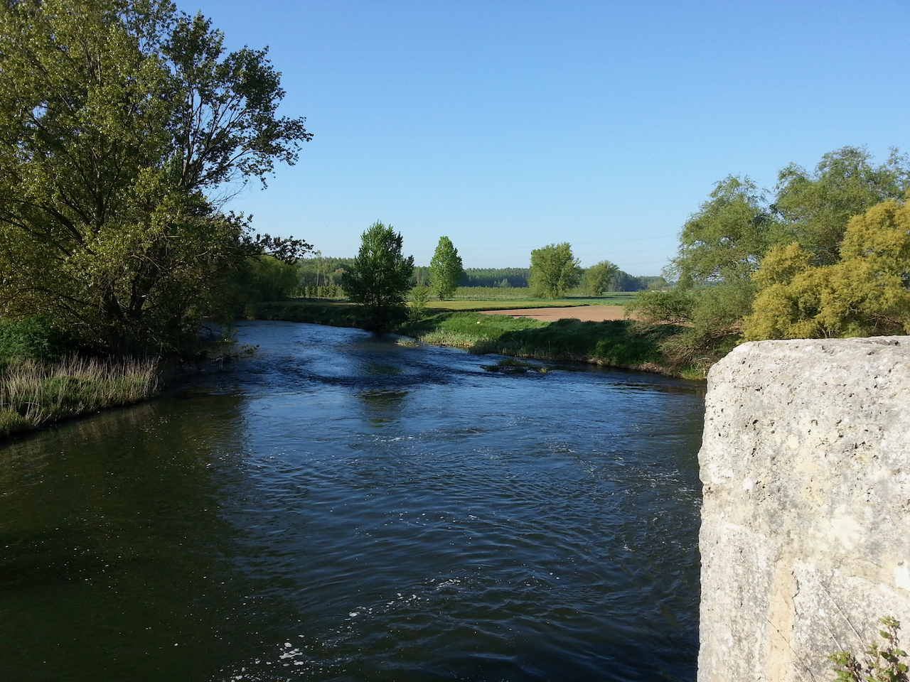
The Río Esla. Fast-flowing, clear and deep. Good swimming hole off to right (with swing rope in place).

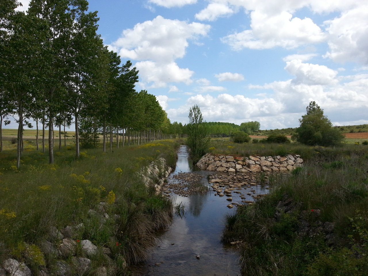
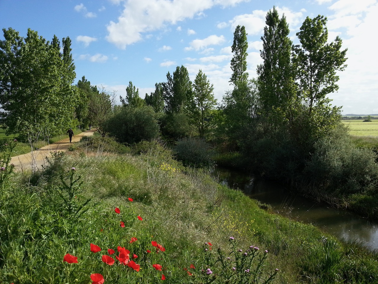
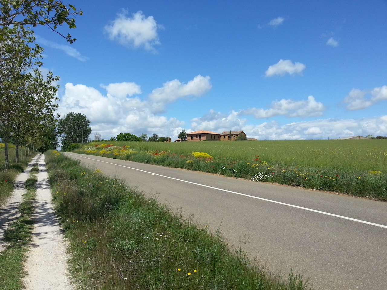
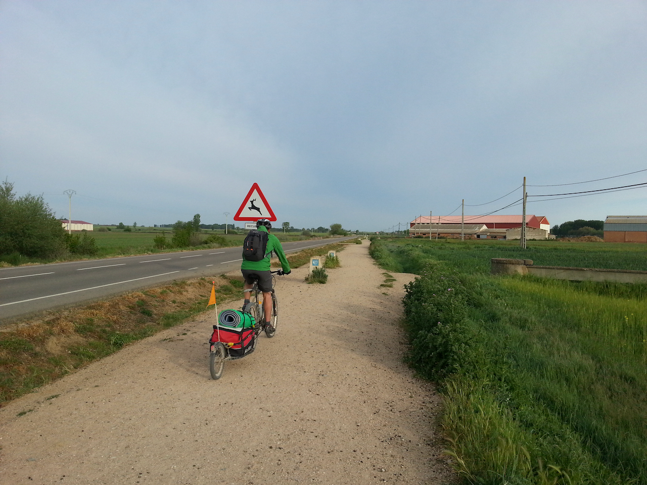
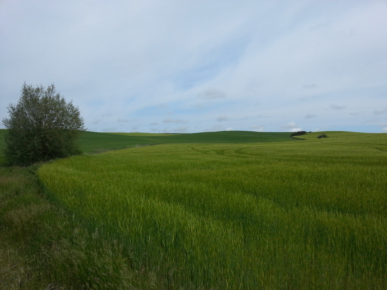
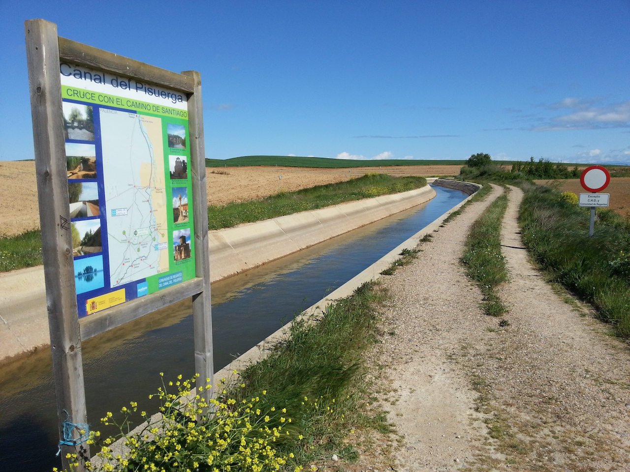
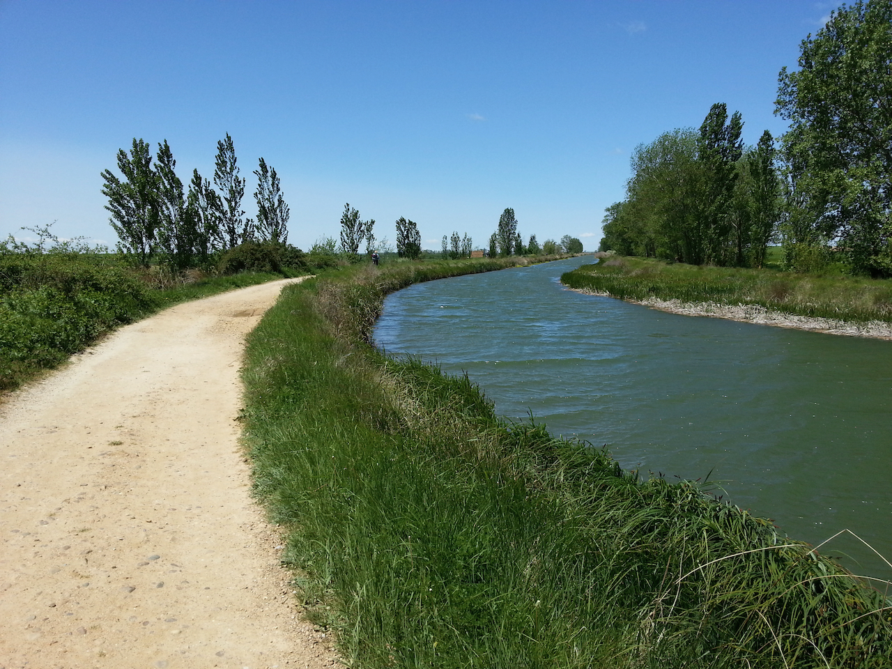
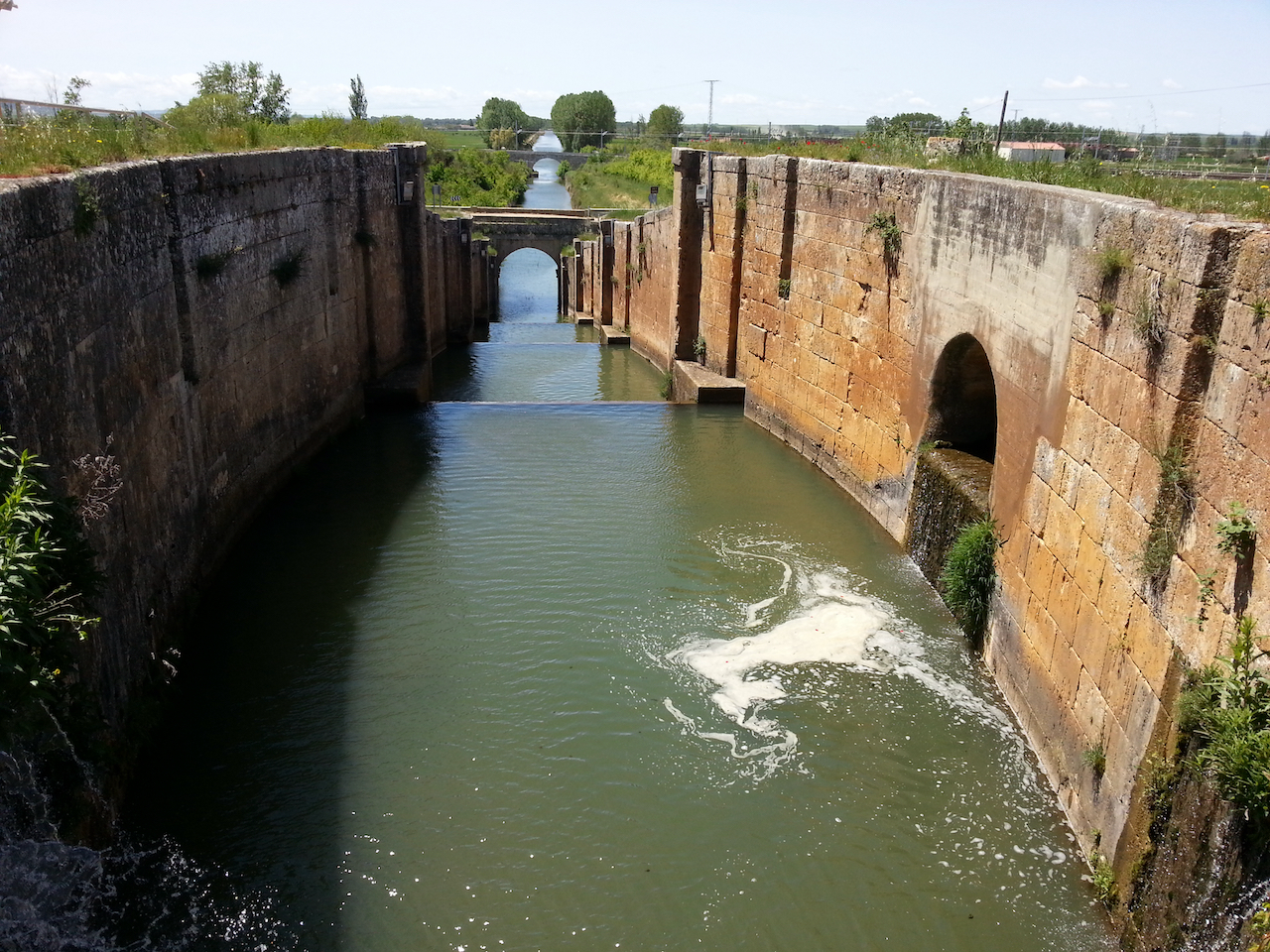
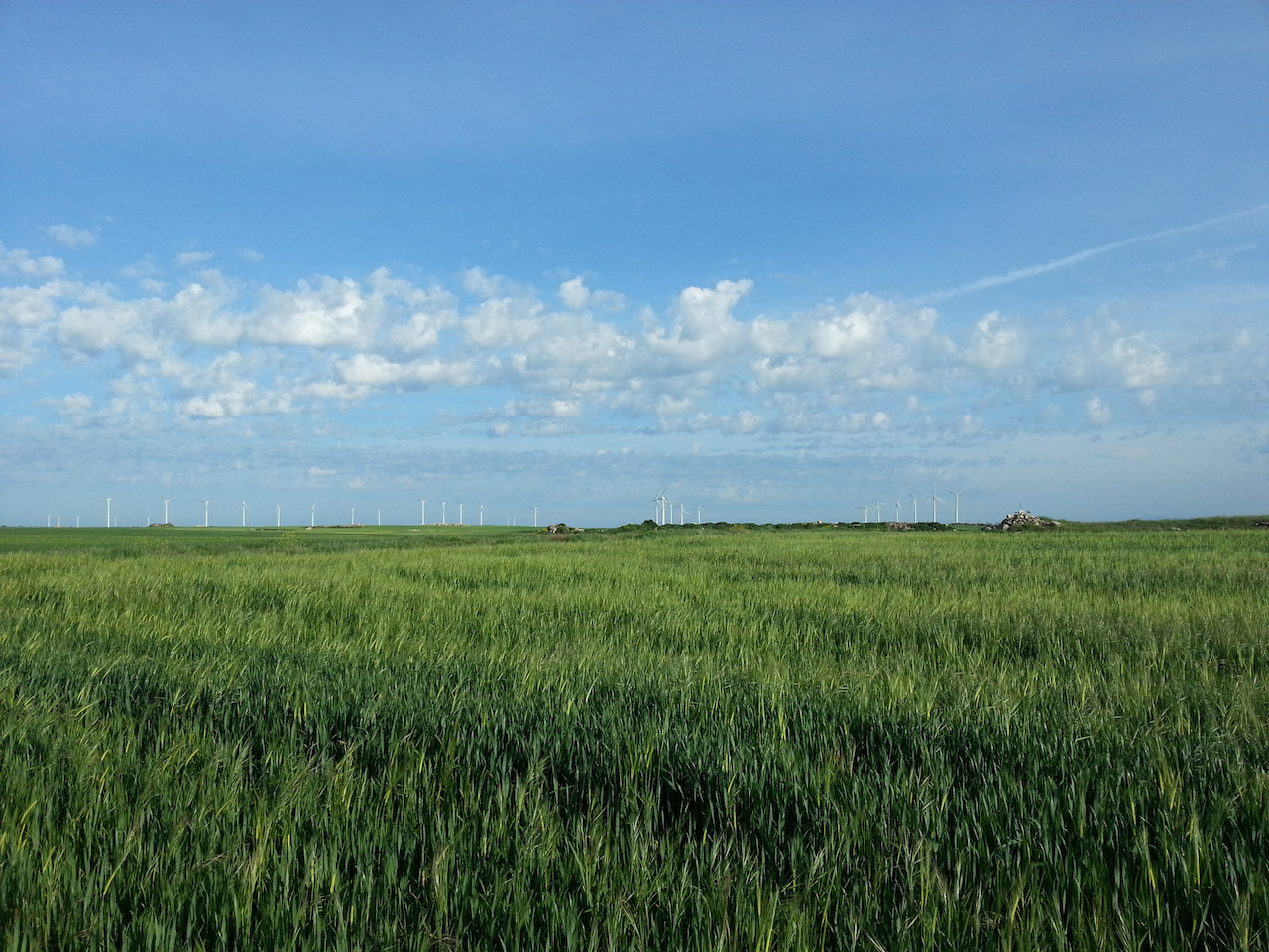
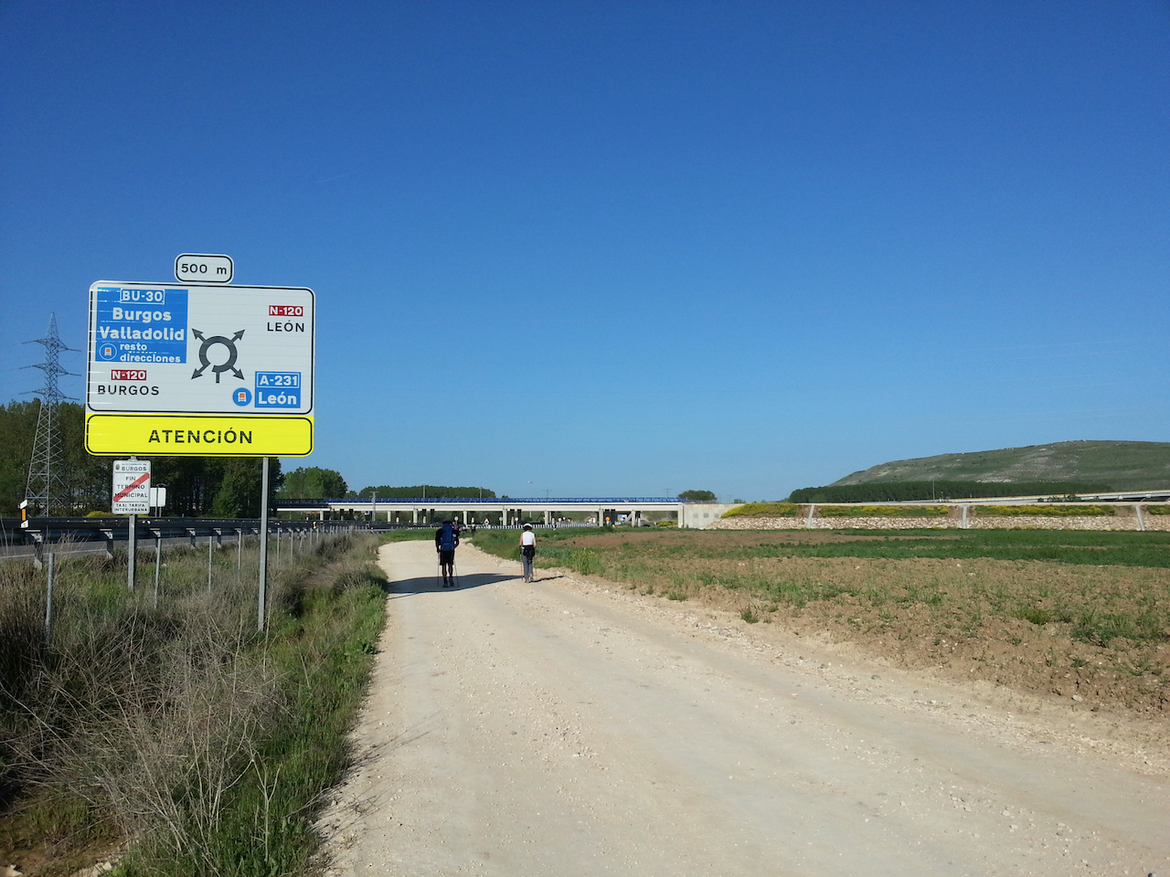
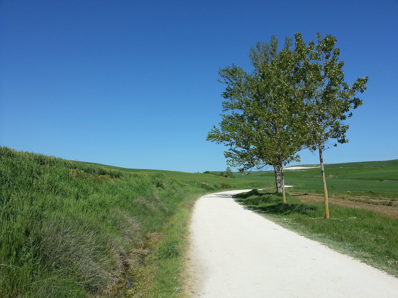
Path runs beside irrigation channels sometimes.

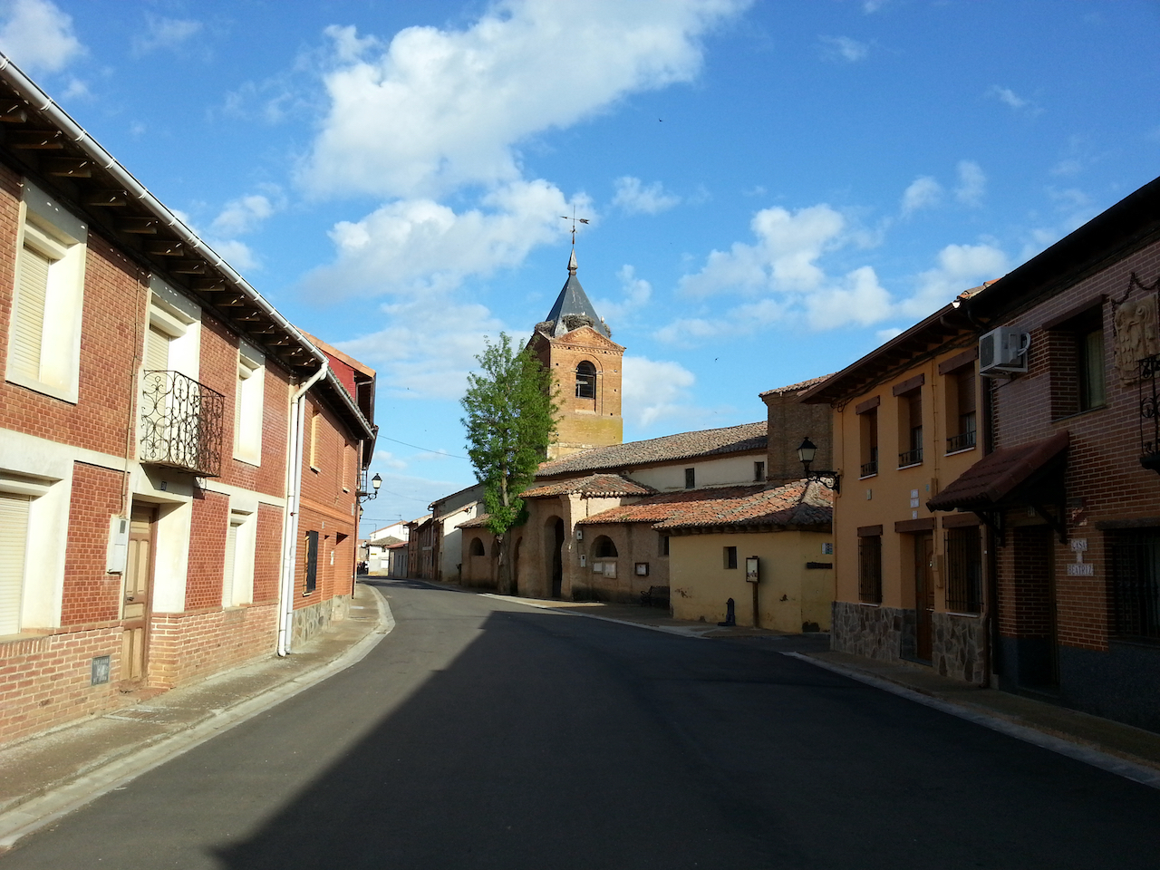
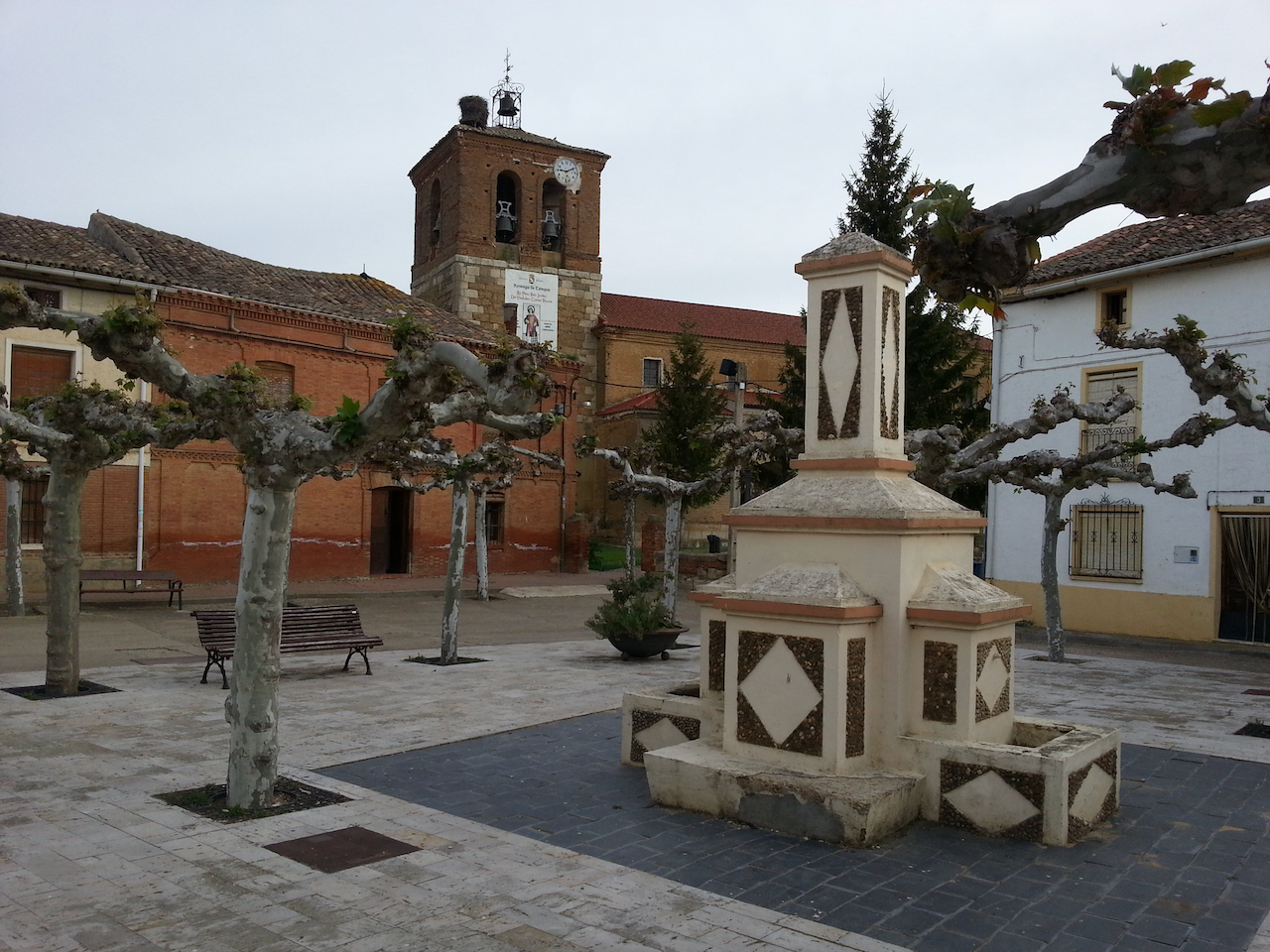
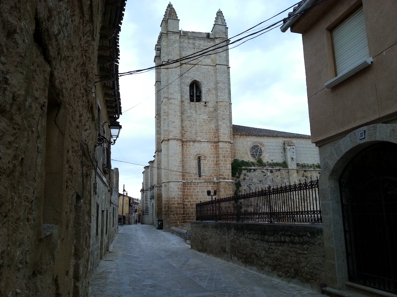
Stork in church tower. Lots of stork nests all the way along the Camino.

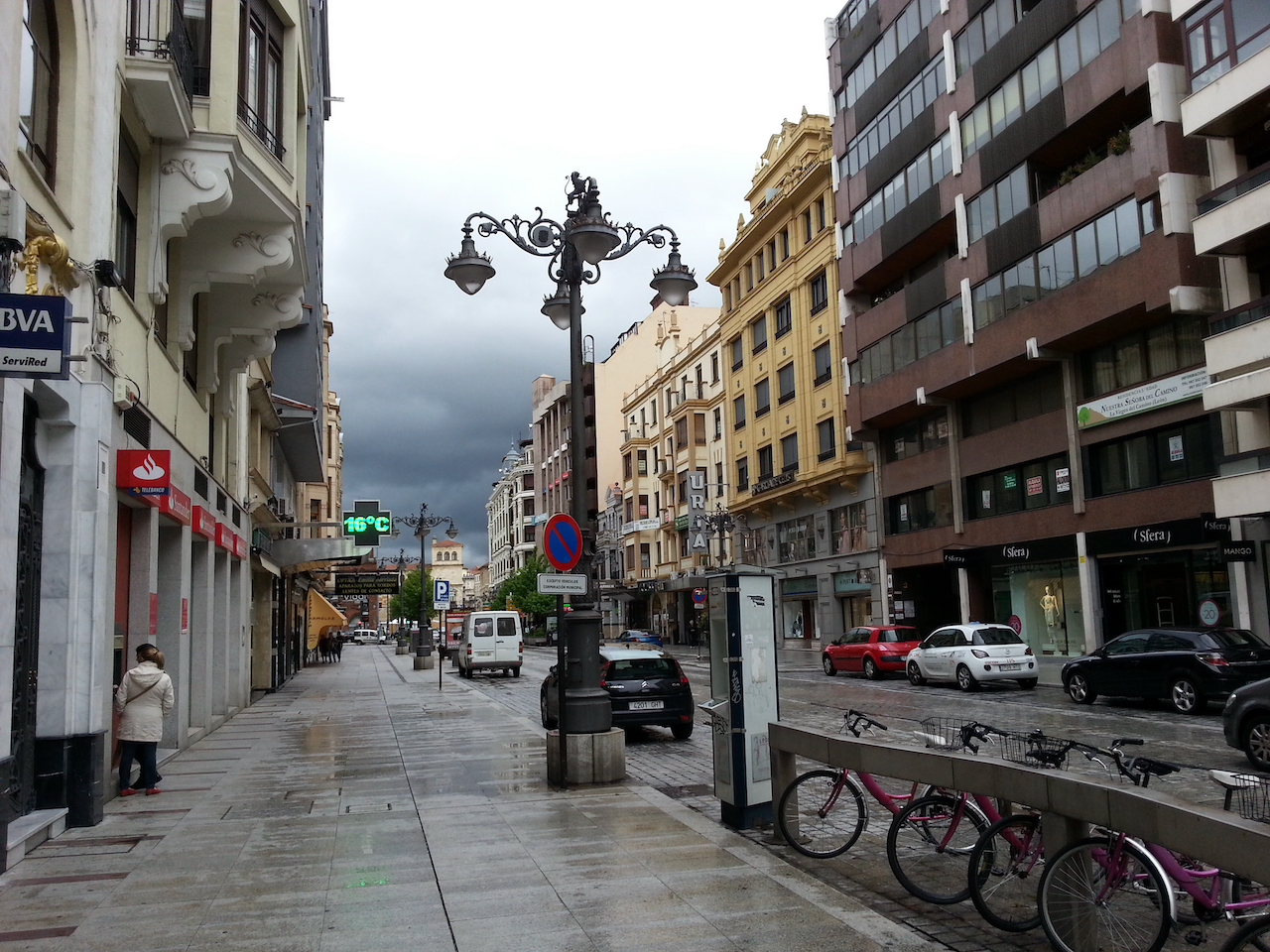
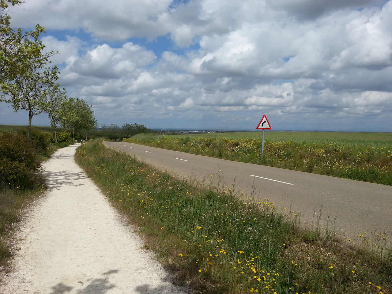
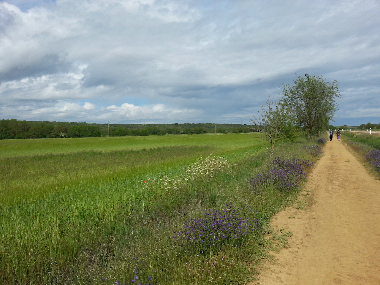
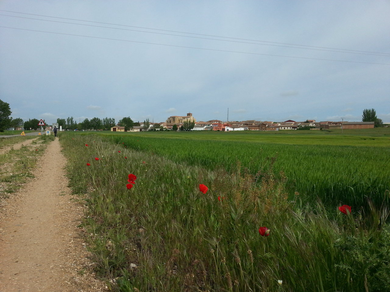
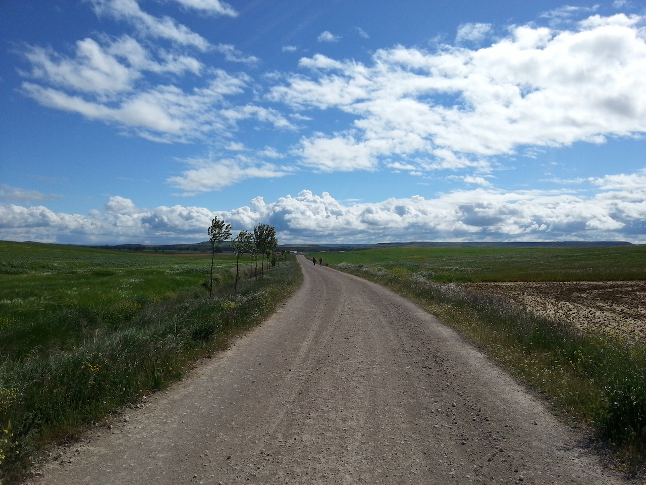
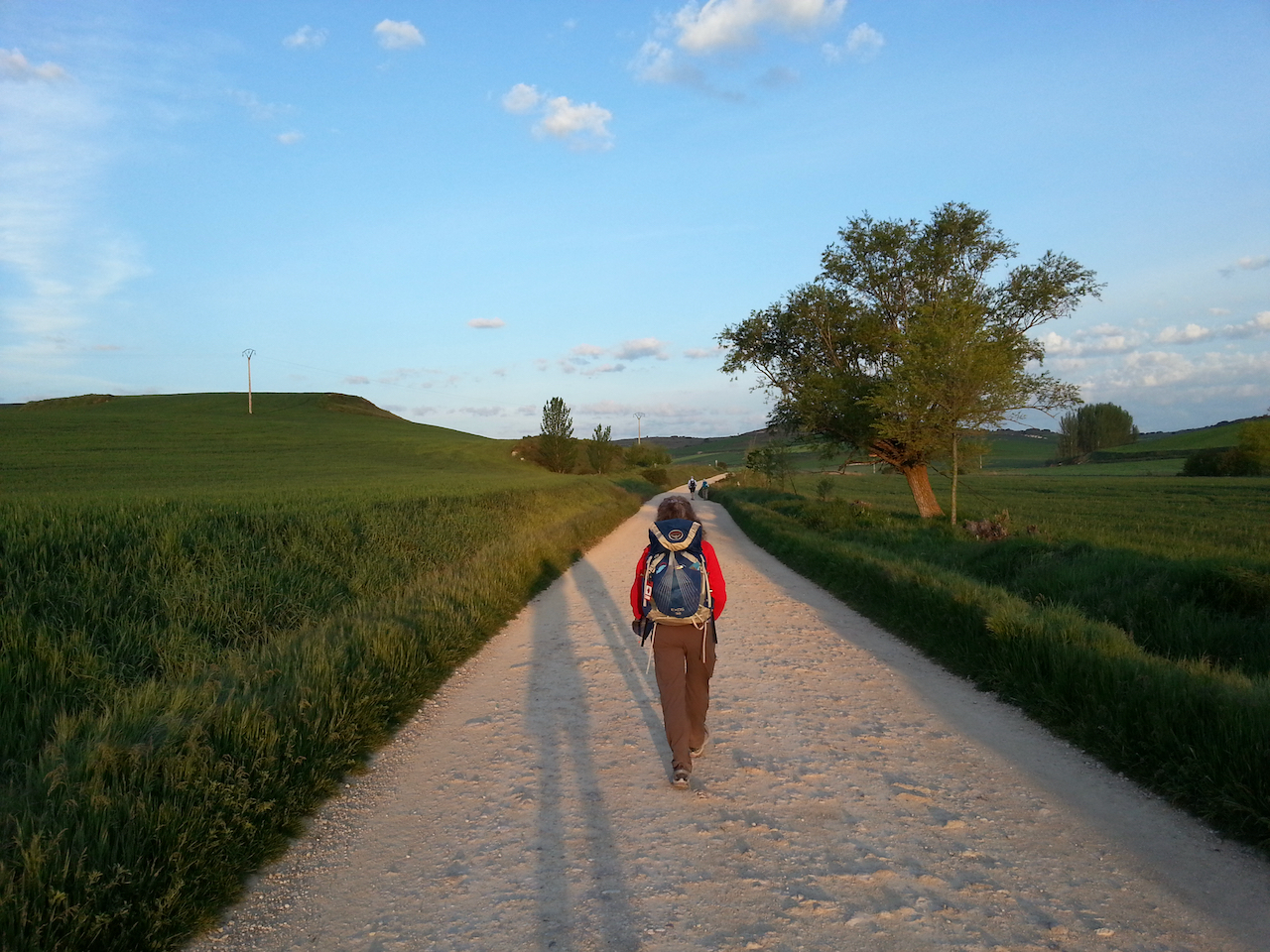
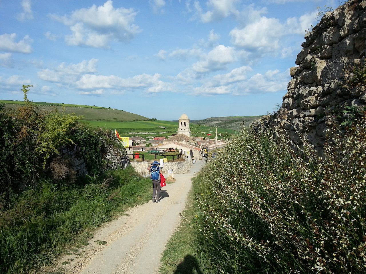
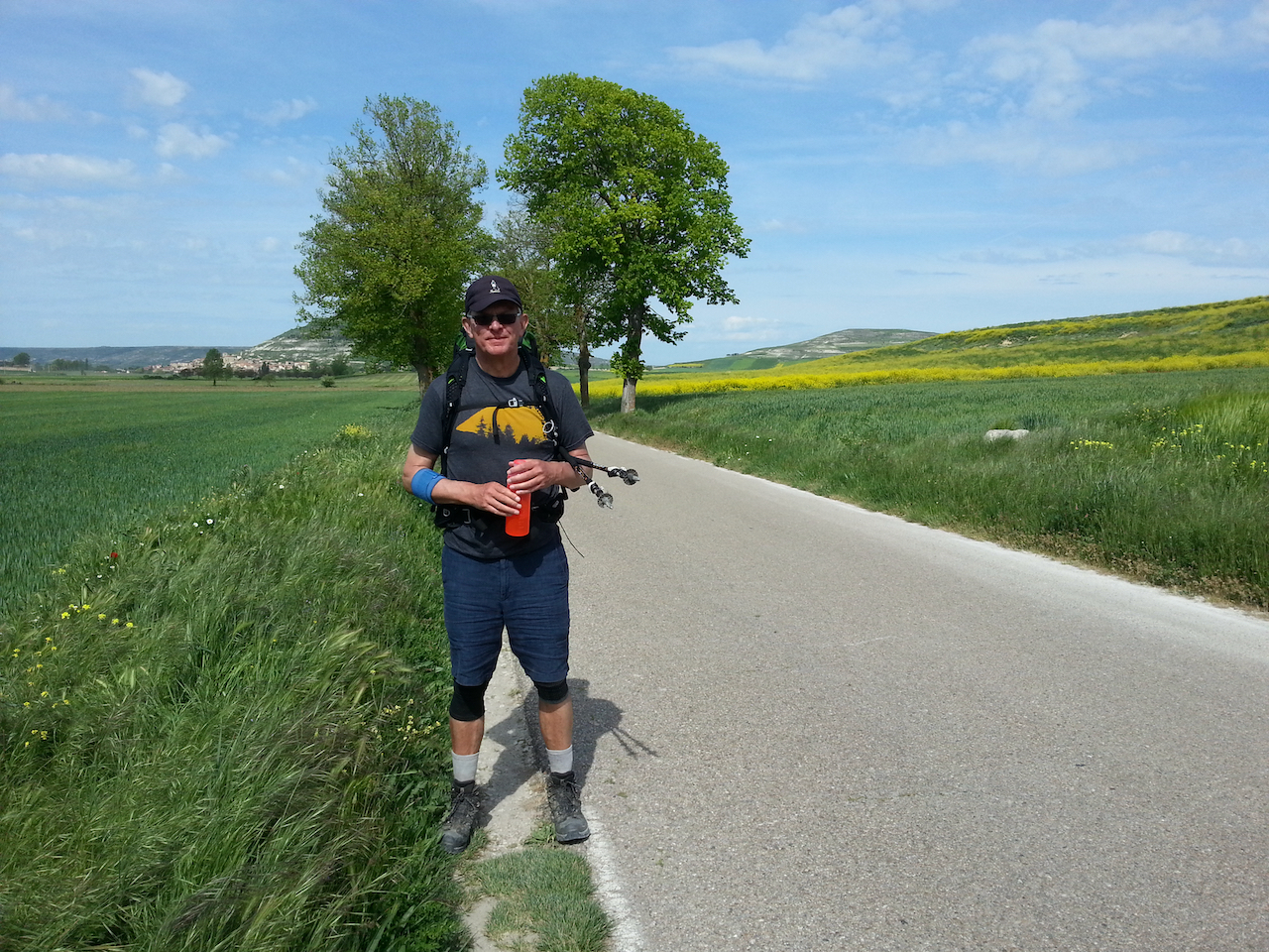
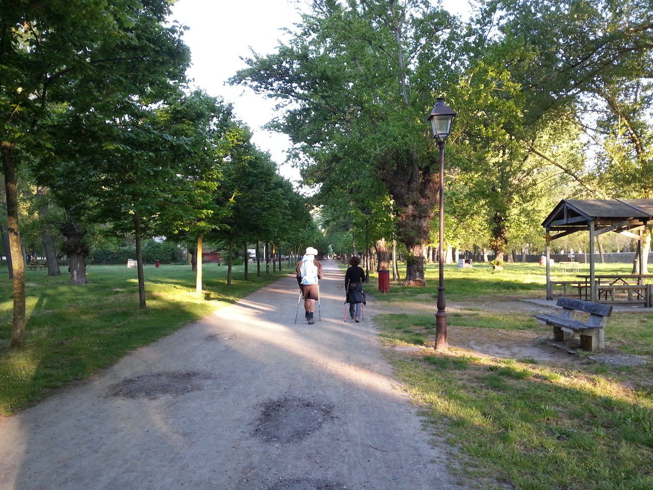
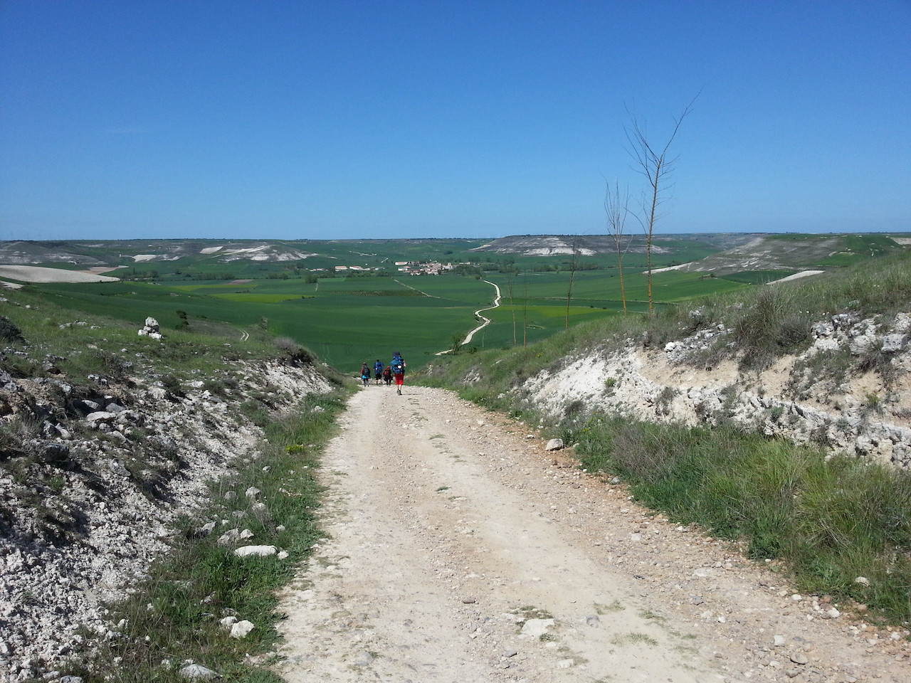
Getting nearer to León.

León on the horizon.

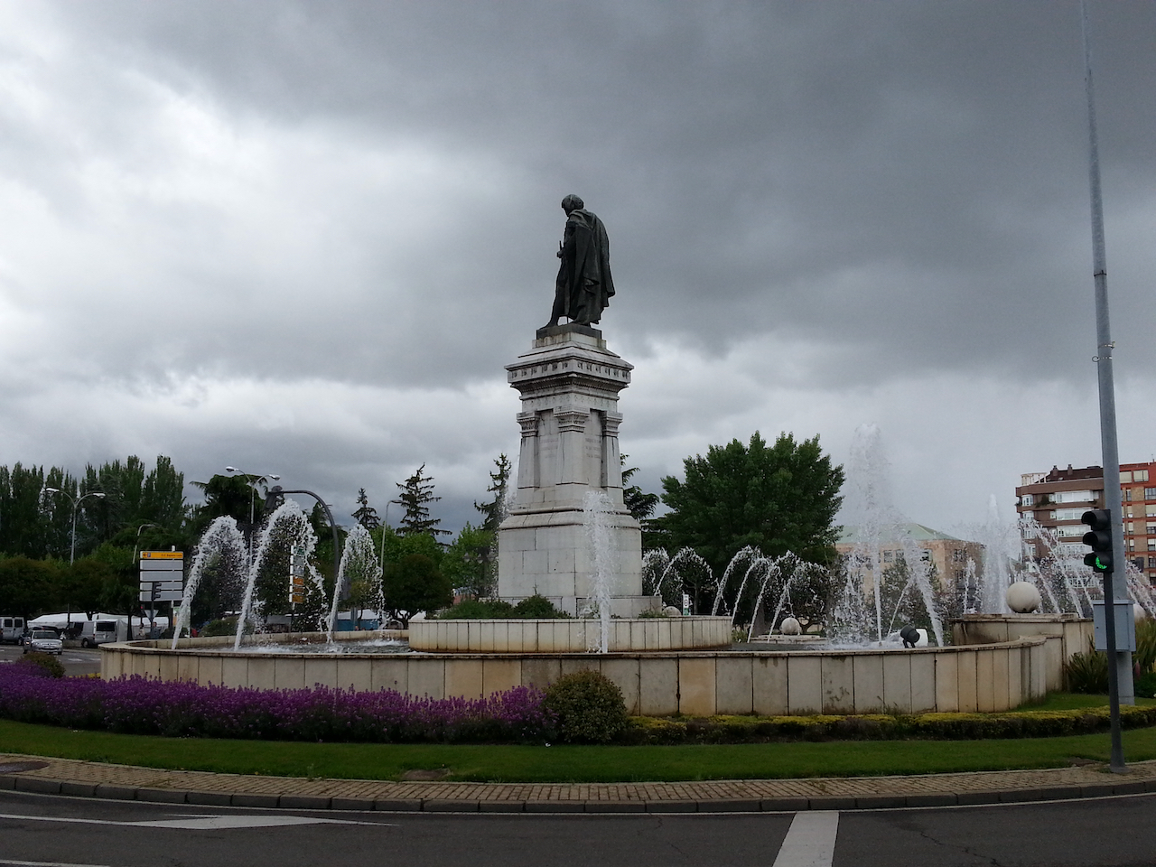
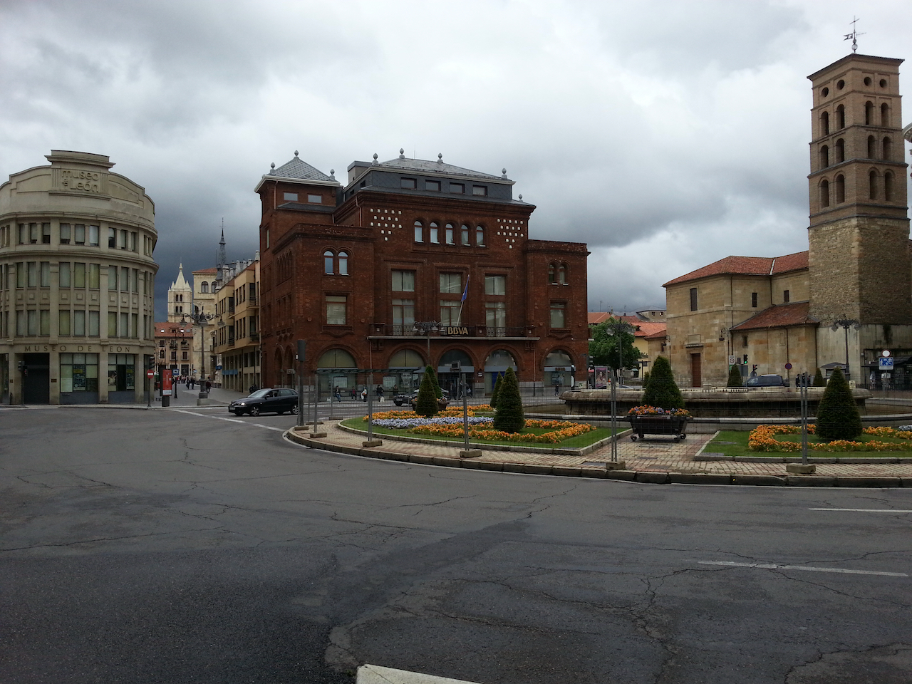
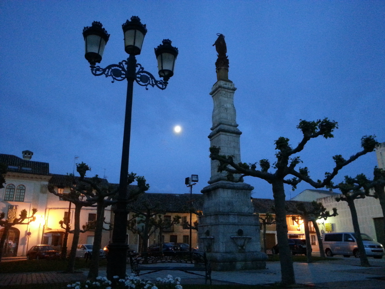
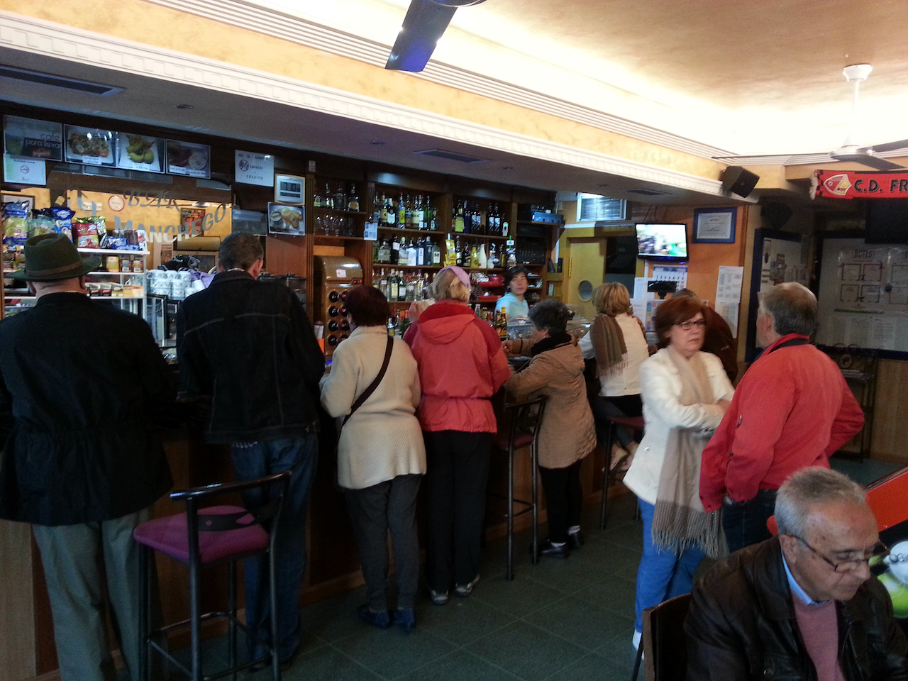
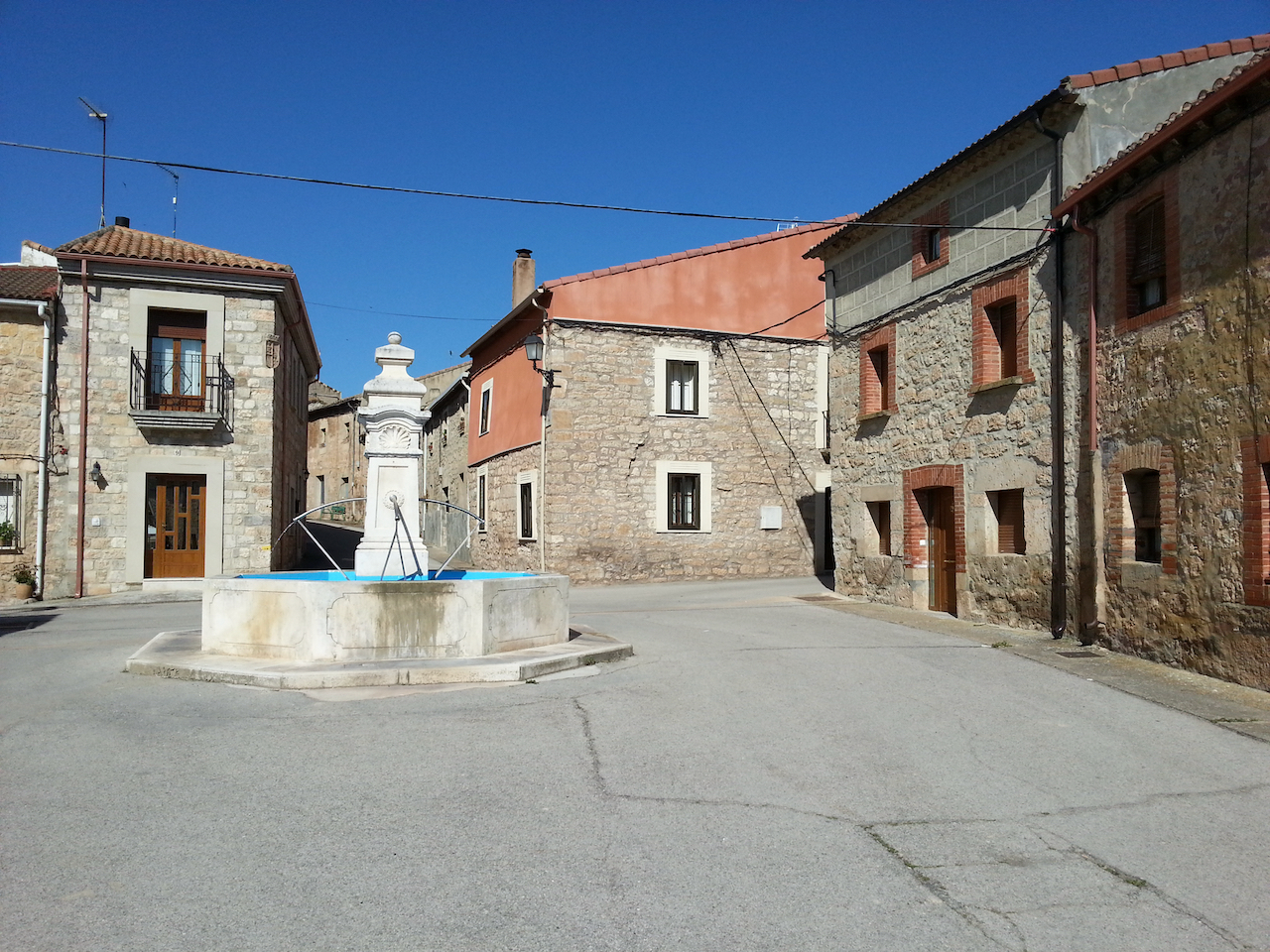
Fountain just near my hostal in León.

Bercianos del Real Camino to Reliegos

20.6 km and 4:18 (see map).

An undistinguished walk today, other than it being through more beautiful rolling countryside. Only one village en route, at the 8 km mark, so consequently the couple of cafés there did a roaring breakfast trade from the passing peregrinos.

I did consider continuing on past Reliegos to the next town 6 km away, but a lot of folk were heading there and the albergues would fill quickly so I decided to stop at Reliegos, a relaxed little village with a few albergues to choose from. It’s 2:30 pm now and I’m still the only peregrino in the small bunk room so maybe I get lucky and have it all to myself. There’s a bar at the front and for €1.50 you get a glass of very passable vino blanco and a free pinchos (in this case bread with a sardine and tomato slice on top, drizzled with olive oil).

Back to the walk.

Coming into El Burgo Ranero, the first and only en-route village of the day.

The church at El Burgo Ranero.

Scenes on the way to Reliegos.

Entering Reliegos.

A jamón serrano on the counter of the bar next to the albergue. Weighs more than my entire pack so I reluctantly had to leave it behind.

Terradillos de los Templarios to Bercianos del Real Camino

24.5 km and 4:57 (see map).

Many small villages along the way today, so equally as many stops for coffee, tea, food. The Camino essentially followed the route of the autovia (A-231), but on a path some way from the road so there was no traffic noise to contend with and the birdsong dominated. Lovely relaxed walking again through farmland with lots of flowers out along the path – red poppies, blue cornflowers, white and yellow daisies, and every now and then the yellow flowers of rapeseed plants.

This is the entrance to one of the hillside bodegas (used for storing food, wine) at Moratinos, the first village of the day.

The long and (not quite winding) road.

David (L) and Tim (R) with an American Bob at an early coffee stop (San Nicolás del Real Camino).

On the way to Sahagún.

Olga (centre) with two Englishmen.

Medieval bridge, Sahagùn.

Tim and David with Ash from Ireland.

Nearing Bercianos del Real Camino.

Typical display of wildflowers by the path.

Queuing to check in at the donativo in Bercianos del Real Camino. It opened at 1:30.

Check in.

Communal dinner. Paella in the pans. Lots of fun. After dinner each nationality present had to sing a song fron their country; the three Australians did all verses of Waltzing Matilda (to rapturous applause I might add).

Carrión de los Condes to Terradillos de los Templarios

26.3 km and 5:08 (see map).

A long first section (17 km) with no villages, and the path almost as straight as a die. Farmland all around – wheat mostly, and mildly undulating except for the last stretch from Calzadilla de la Cueza to Terradillos de los Templarios which was slightly more hilly.

Somewhere along the route today I passed the halfway point between Saint-Jean-Pied-de-Port and Santiago de Compostela. The Michelin guidebook has the total distance at 784 km; I’ve done 398.

Pre-dawn at Carrión de los Condes.

The walk started on a sealed secondary road then soon turned onto a good made dirt road. Stayed on the dirt for the remainder of the day.

Approaching the first village of the day – Calzadilla de la Cueza, 17 km after setting out.

Leaving Calzadilla de la Cueza.

Arriving at Ledigos. Did toy with the idea of staying here, but the albergue wasn’t particularly inspiring so decided to keep going for another 3 km to Terradillos de los Templarios.

Terradillos de los Templarios on the horizon …

… and entering the village. Found a good albergue here.

Frómista to Carrión de los Condes

Shorter walk today. 19.2 km and 3:52 (see map).

Half way through eight-day Burgos-to-León walk.

The deconsecrated world heritage-listed church in Frómista.

Competition at the only open café in Frómista at 7 am – a busload of tourists.

Out on the Camino. The path followed a quiet secondary road (the P-980) all the way to Carrión de los Condes.

The church at Revenga da Campos.

Entering Villarmentero de Campos …

… and departing.

These markers were at a number of places along the path.

Approaching Villalcázar de Sirga.

Only 419 km to the next Coke.

Typical countryside later in the walk.

If you look hard / squint you might just pick out snow on the distant mountains.

Mosaic art on building on outskirts of Carrión de los Condes.

Castrojeriz to Frómista

25.6 km and 5:11 (see map).

Start of the day at one of the churches in Castrojeriz.

On the way out of Castrojeriz.

A hill to climb. Alto de Mostelares – 910 m; 20 minutes to get up (Castrojeriz is at 808 m.)

At the top of Alto de Mostelares. A vendor has just set up her stand so a cup of tea is in order.

And on the other side of the hill … the Camino stretches into the distance.

Approaching the church at Itero del Castillo.

Medieval bridge. Over the Rio Pisuerga.

Modern peregrino. It had been showering for half an hour before this point on the path and there was a cold wind blowing so the heavy duty rain coat was on over layers of tops. Kept me warm enough.

Public art on the way out of Itero de la Vega, where I stopped for a late breakfast. Still haven’t seen any stags.

Further along the road from Itero de la Vega.

The Canal del Pisuerga.

Along the way to Boadilla del Camino.

Leaving Boadilla del Camino.

The last section of today’s walk tracked along by the Canal de Castilla, part of a large irrigation scheme for watering the wheat crops.

The irrigation channel at Frómista. I know everyone will be really interested in this.

Hornillos del Camino to Castrojeriz

20.2 km and 4:02 (see map).

Early in the walk. Long shadows from the sun rising behind us.

Standard scene for the first few hours – green crops, blue skies, cotton-wool clouds.

Further along the meseta.

Wind farms all around. Counted 35 generators in this one (on the skyline).

The path down to Hontanas …

… and morning tea (well, a coffee actually and a fabulous sandwich called a zapatilla – crusty bread, with tomatoes, olive oil and lashings of jamon serrano).

Met up at Hontanas with Tim again and his friend David also from the UK and who joined the Camino at Burgos. Tim at the rear in this shot, David in front with June from Canada who I walked with to Hontanas.

En route to Castrojeriz, from Hontanas.

San Antón.

David from the UK.

David from Australia.

Entering Castrojeriz.

Room at the municipal hostel. €5 for the night. No extra for snorers.

Burgos to Hornillos del Camino

As much as I enjoyed the rest days in Burgos, it’s good to be back on the Camino. 21.3 km and 4:20 today (see map).

Dawn departure and a last look at the cathedral …

… then westwards through the back streets …

… across the Arlanzón …

… then through parkland to the city limits.

Open paths from then on for a while.

The path follows the alignment of a rail line and a freeway for a way.

Then it’s back alongside the Arlanzón near Tardajos.

Tardajos. Coffee and boccadillo stop.

Through the prettiest village of the day, Rabé de las Calzades.

Then a gradual climb up onto the meseta. Stunning country.

On top of the plateau.

Then down a rocky path towards Hornillos del Camino.

The end of the walk today.

Relaxing in the albergue garden.